The Coleridge Way and South West Coast Trail 2022
The Coleridge Way (yellow route) is named after the poet Samuel Taylor Coleridge, who lived for a time in Nether Stowey, Somerset, the eastern end of the trail. He walked the hills with his friend, William Wordsworth (and Wordsworth's sister, Dorothy), and years later joined Wordsworth in the Lake District of England. In 1798, Coleridge and Wordsworth published a joint volume of poetry, Lyrical Ballads, which proved to be the starting point for the English romantic age.
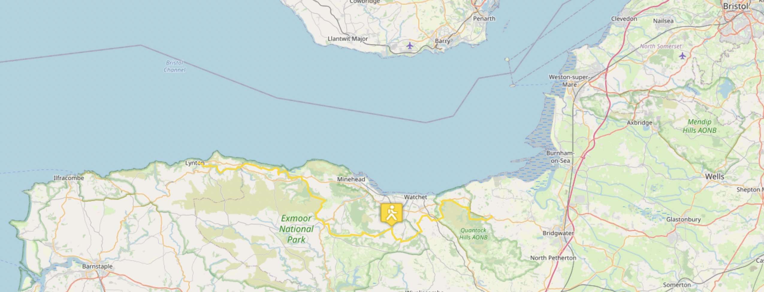
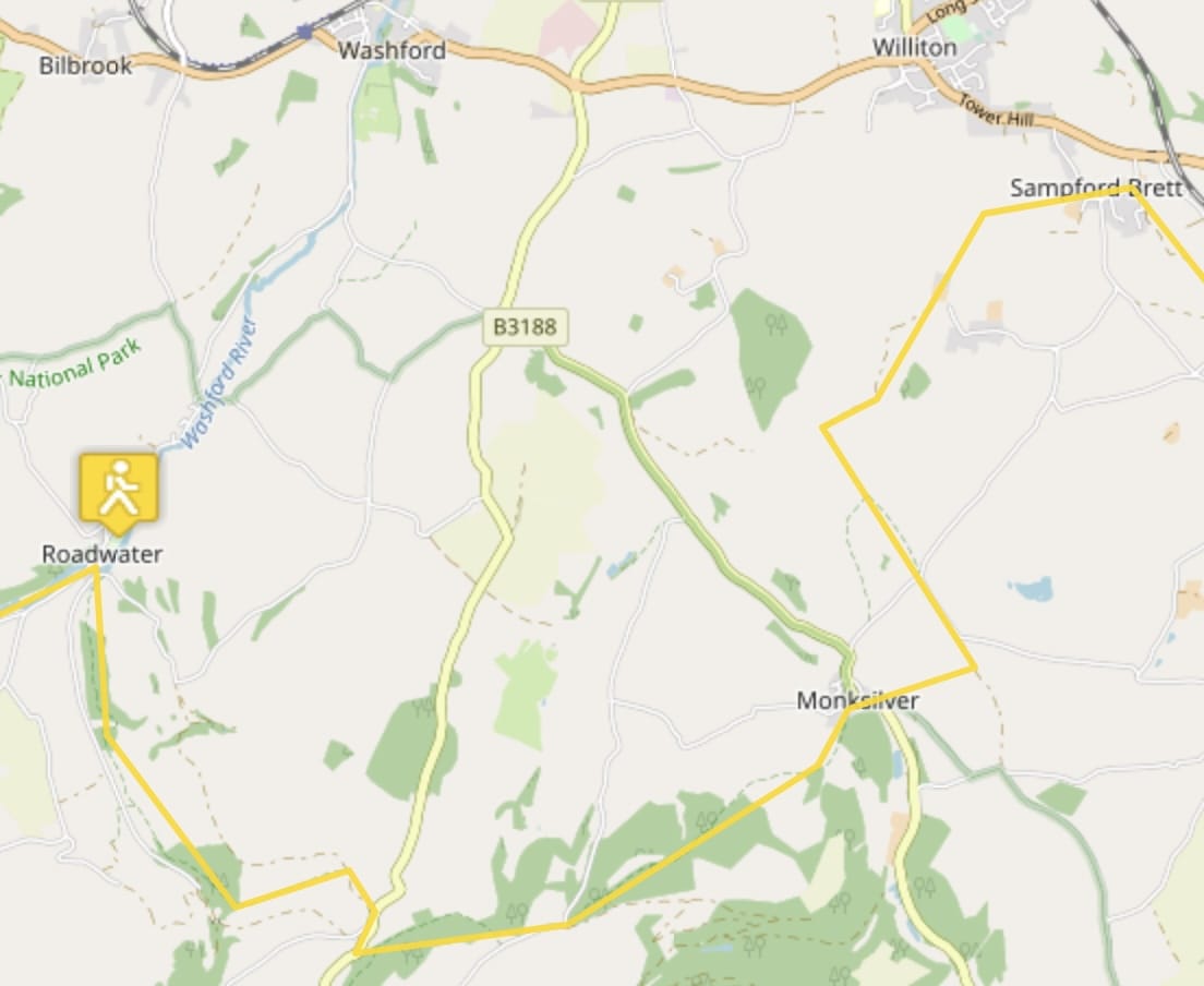
Nether Stowey to Sampford Brett
I like these place names!
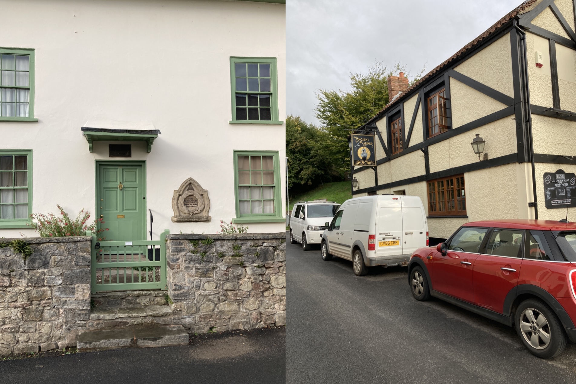
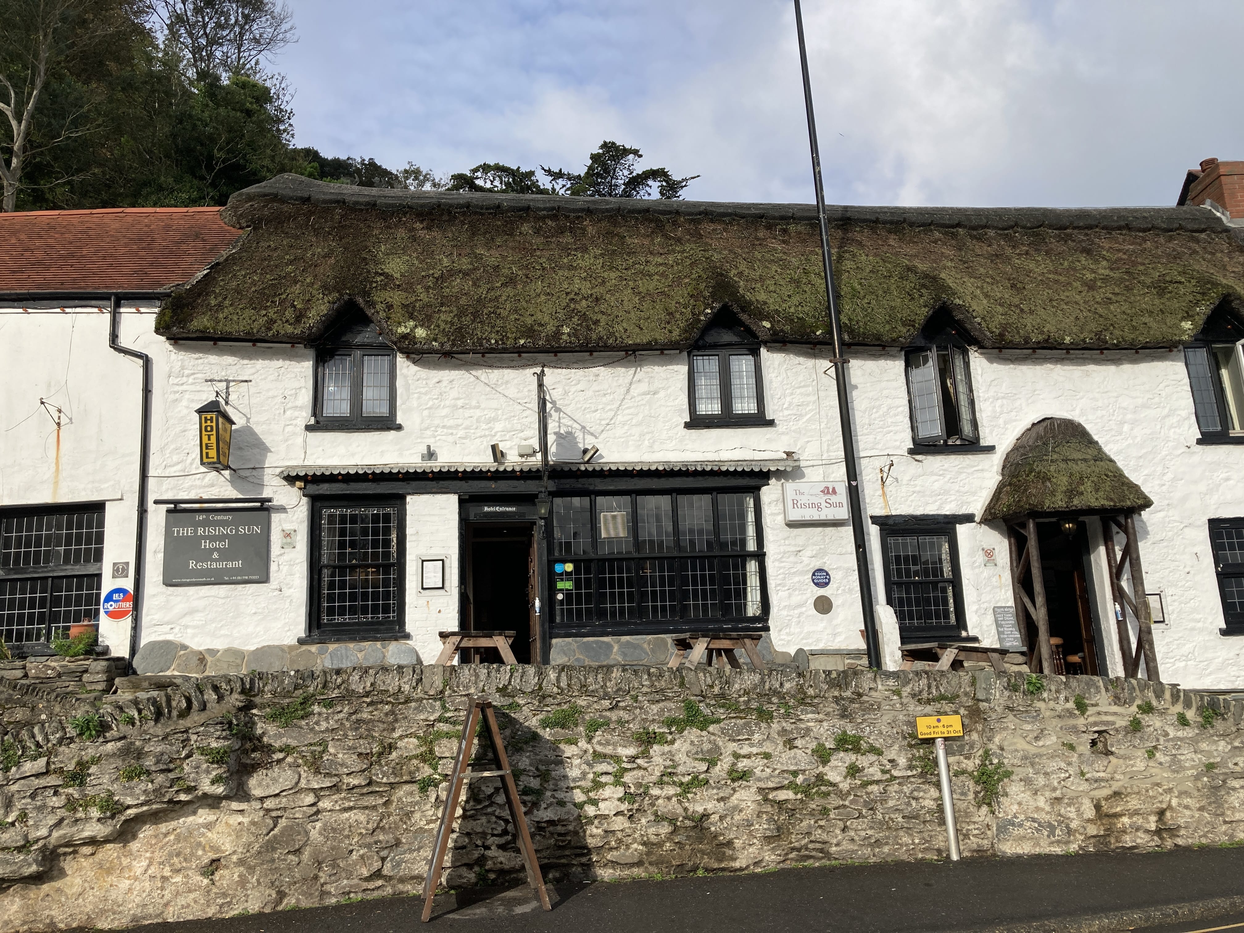
I stayed at the Ancient Mariner obviously named after Coleridge's poem The Rime of the Ancient Mariner. His Coleridge Cottage is across the street. I couldn't see inside as it opens at 11 a.m.
I'm glad I have an offline map with GPS. I missed several turns on the trail and walked about an extra 2 miles here and there. I might keep the map active to avoid this and resultant aching knees.
The start is really nice with the trail traversing wooded forest. But the Quantock Hills lie ahead.
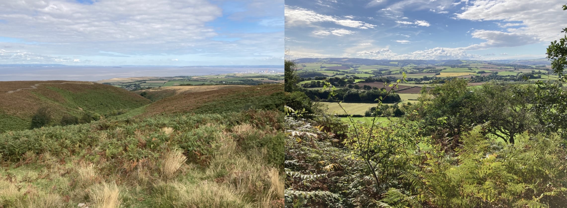
In the distance in the Bristol Channel.
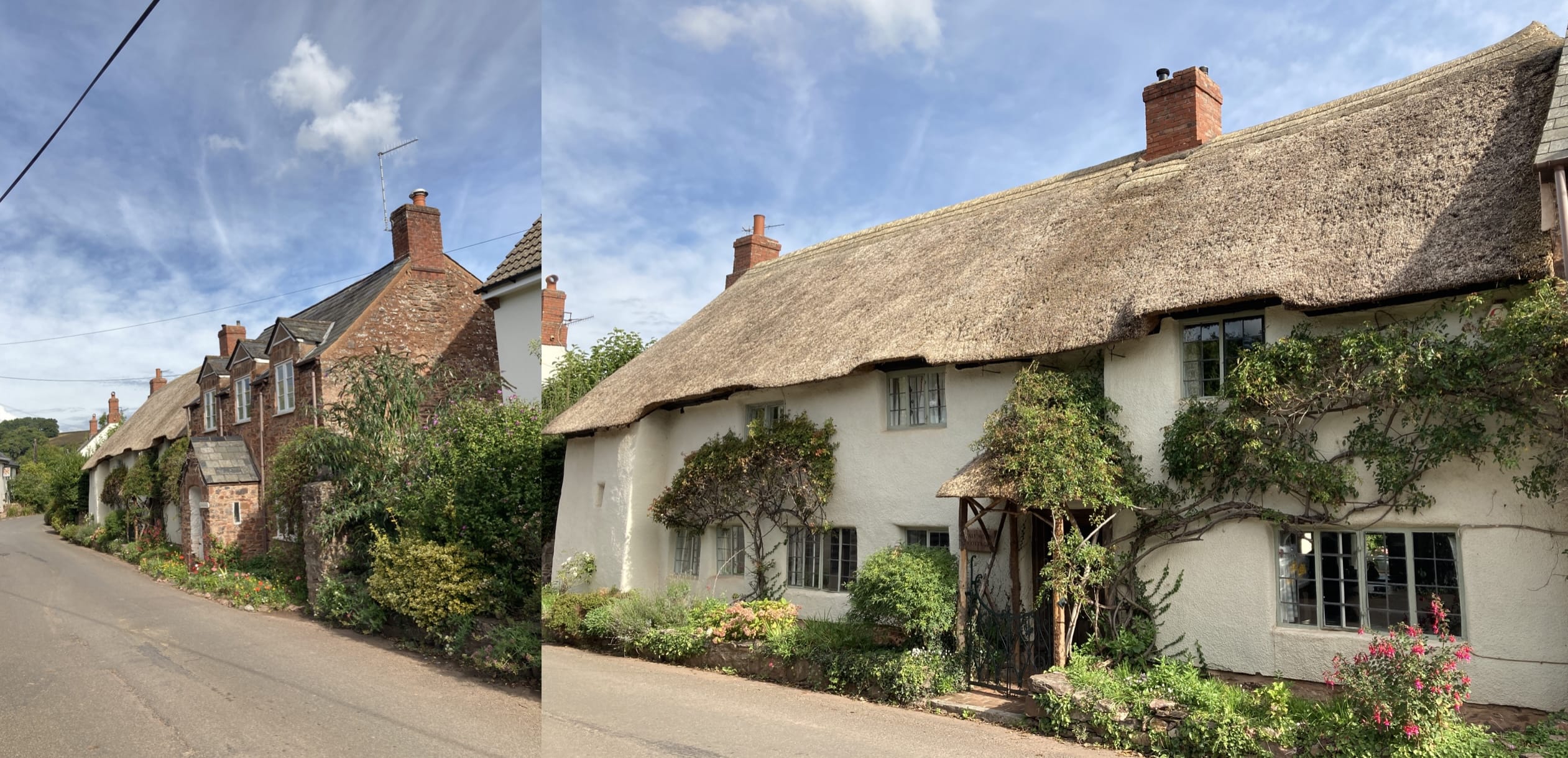
Bicknoller is a cute village.
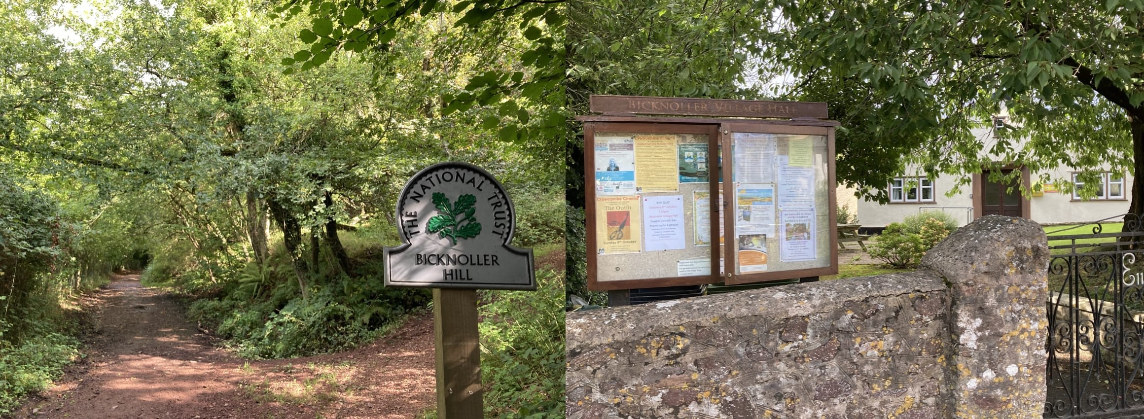
Lot's coming up in the village!
My knees hurt walking up and down in the Quantock Hills.
Yes, I got a taxi for the last 2 miles to my hotel in Williton. Seriously!
Sampford Brett to Roadwater
Starting out.
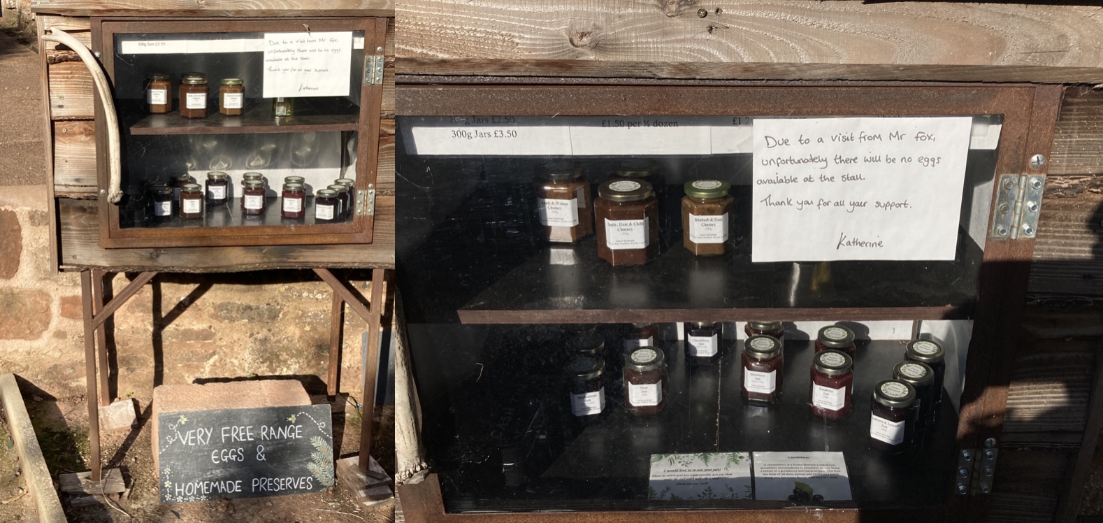
Foxy mischief
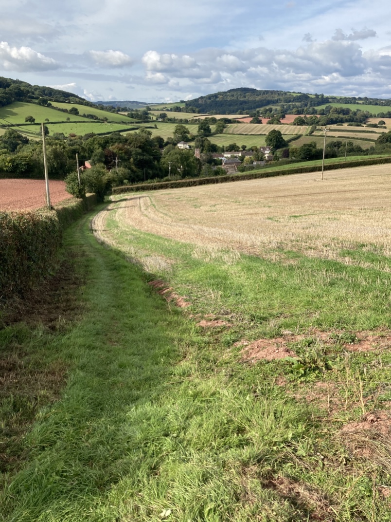
Heading downhill in a field to Monksilver. I see uphill in my future on the other side of town.
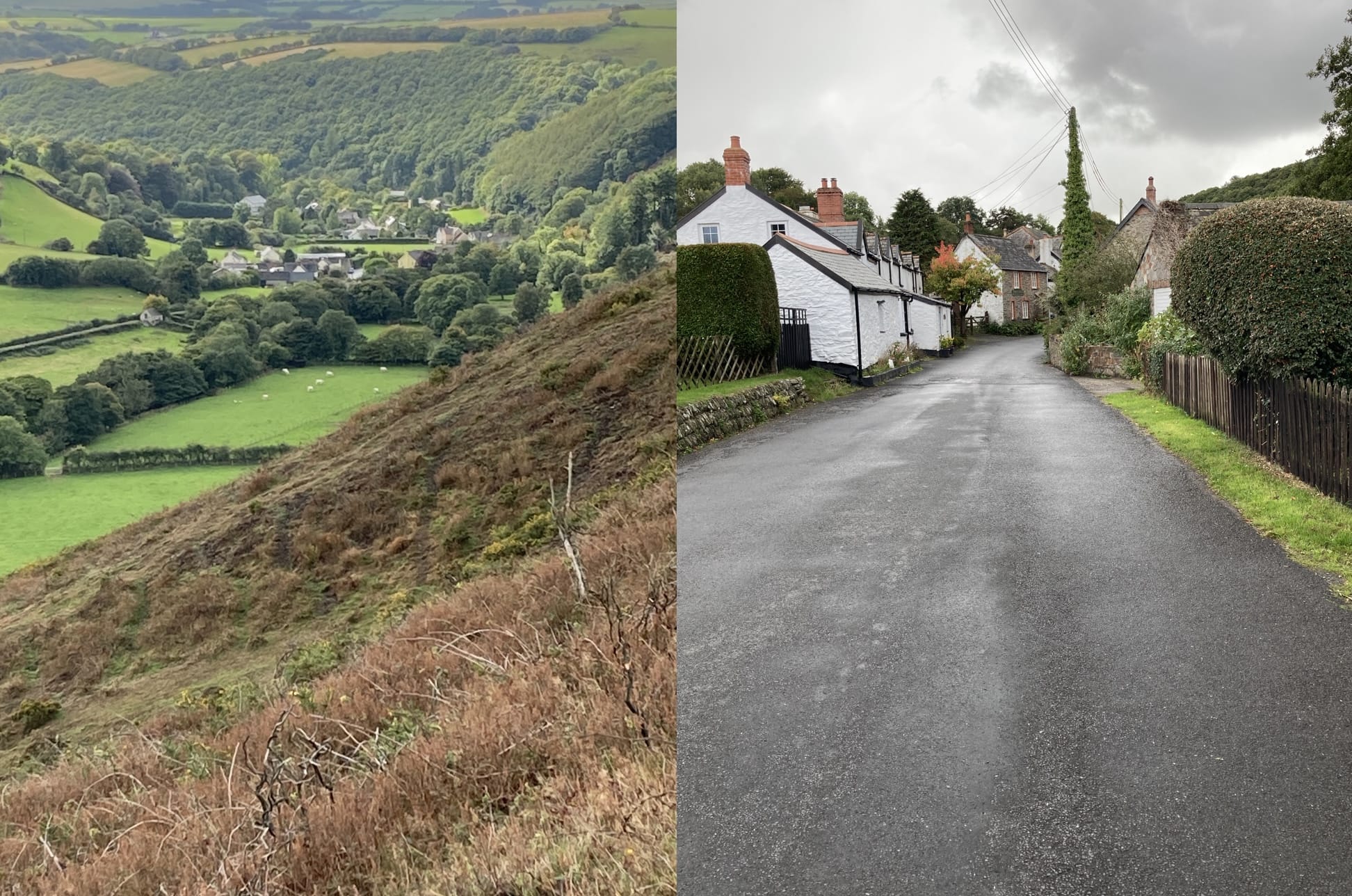
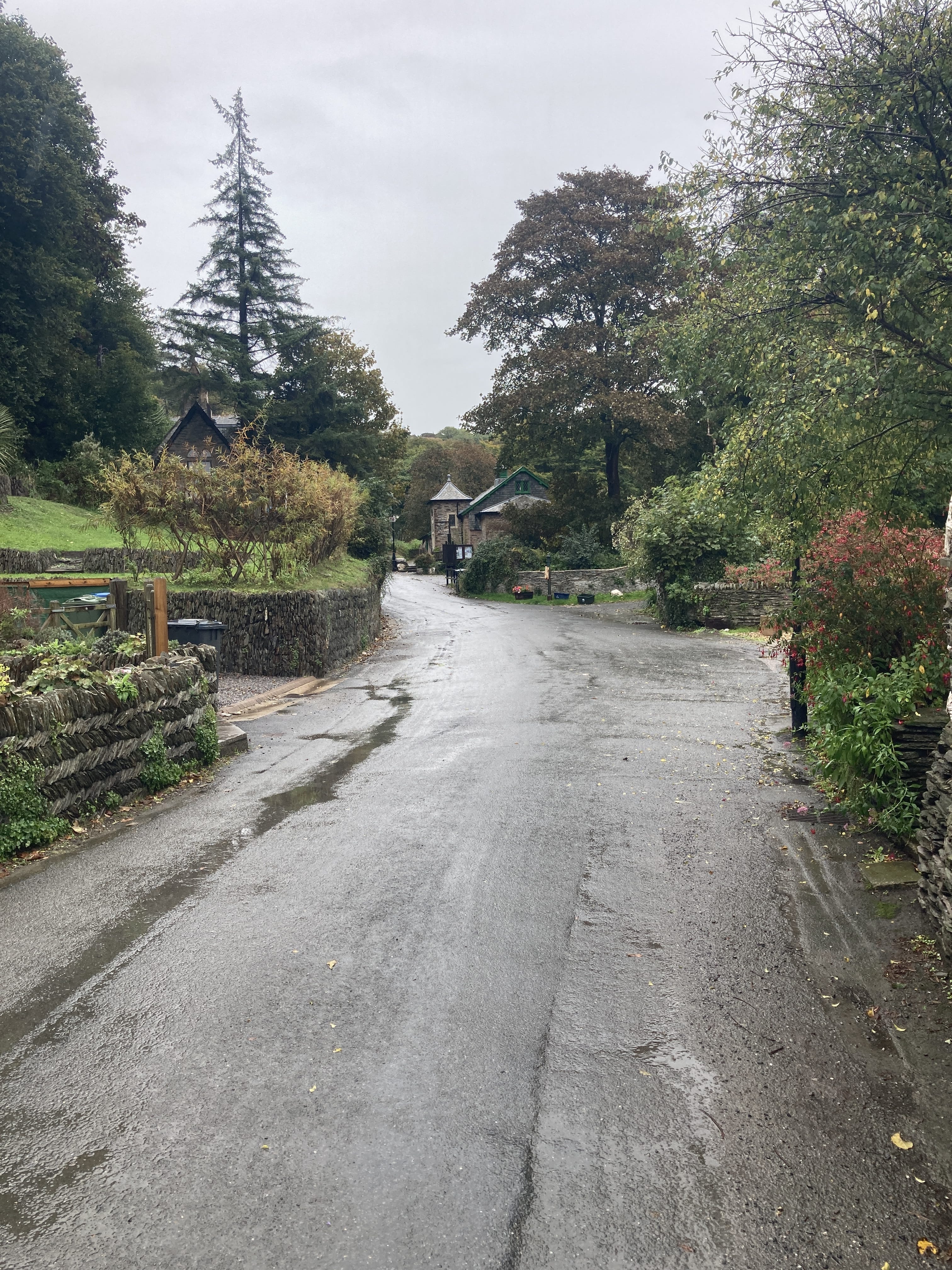
A village street
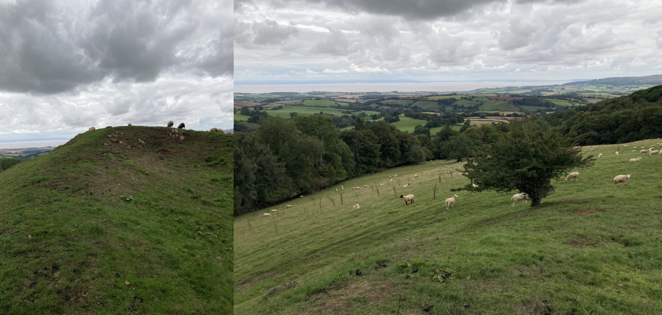
I had to shoo the sheep away from this viewpoint:
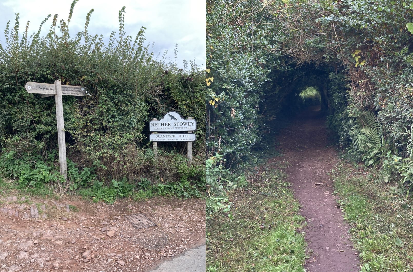
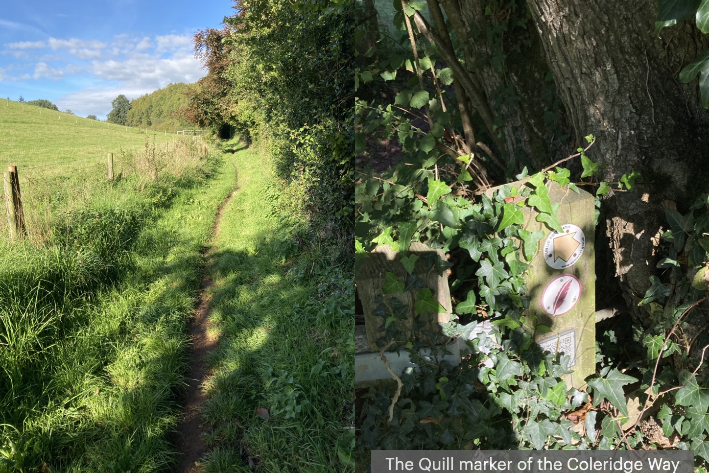
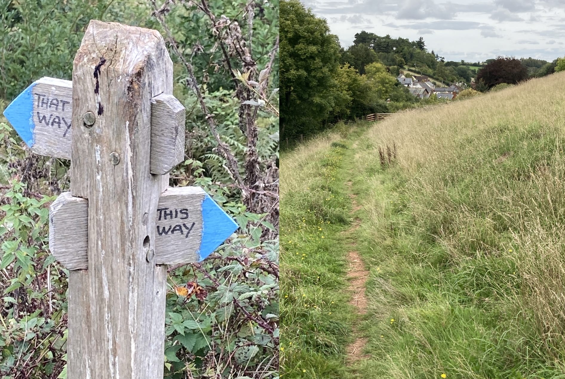
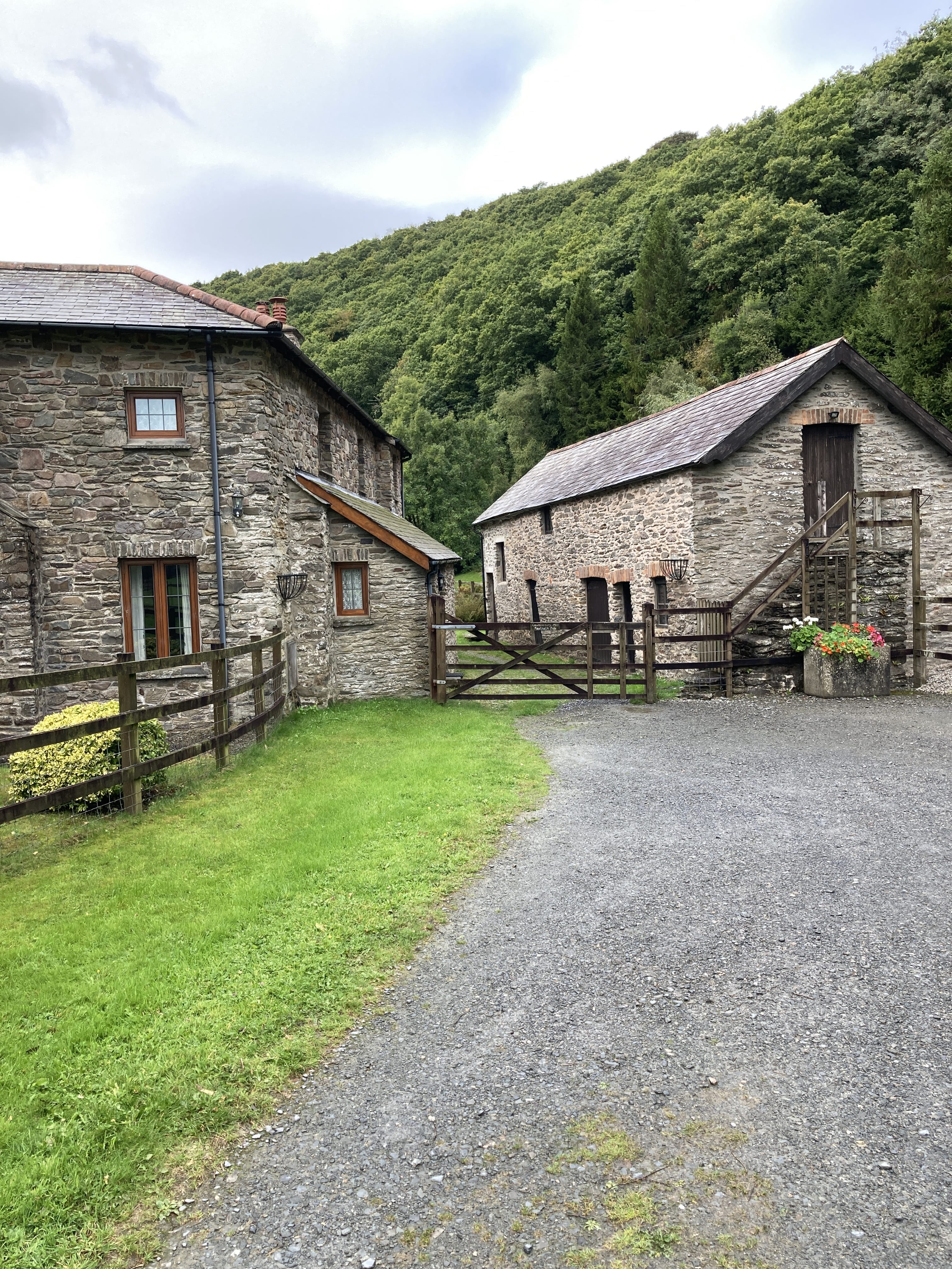
Sometimes the way signs are not that helpful. I chose this way which turned out nicely taking me into Roadwater :-)
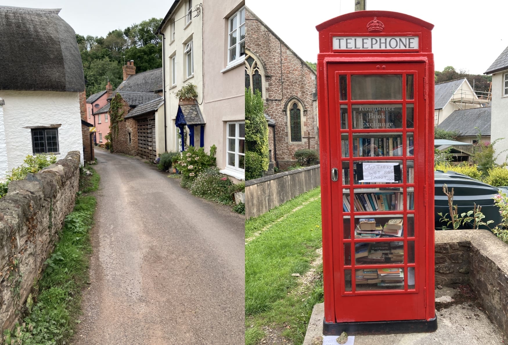
In town and visiting the town library.
Roadwater to Wheddon Cross
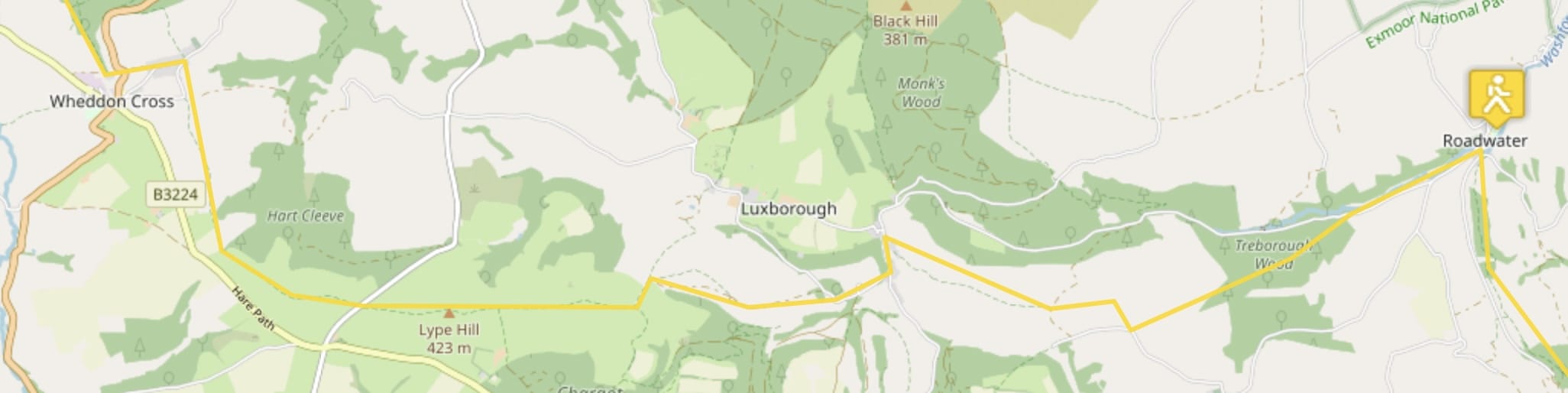
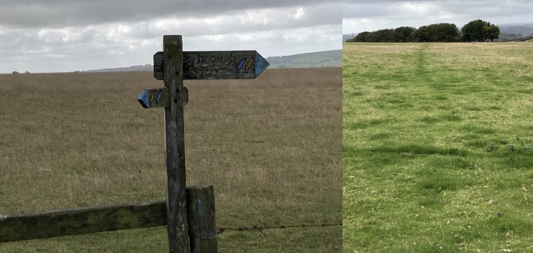
One crosses may large fields from gate to gate to gate. Some fields are a bit hard to navigate. Through a gate... Where ? O.K., one can see a track made by past travelers for this particular gate.
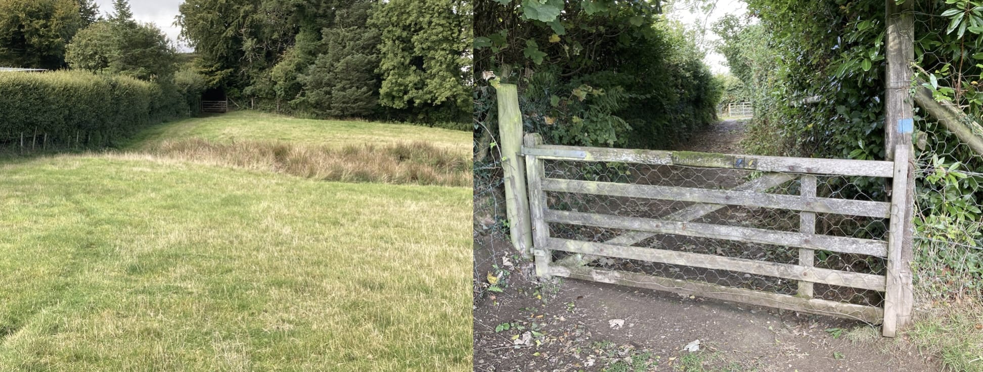
Here's nice gate in a corner of the field -- one of about fifty today.
Actually, there was some nice signage today.
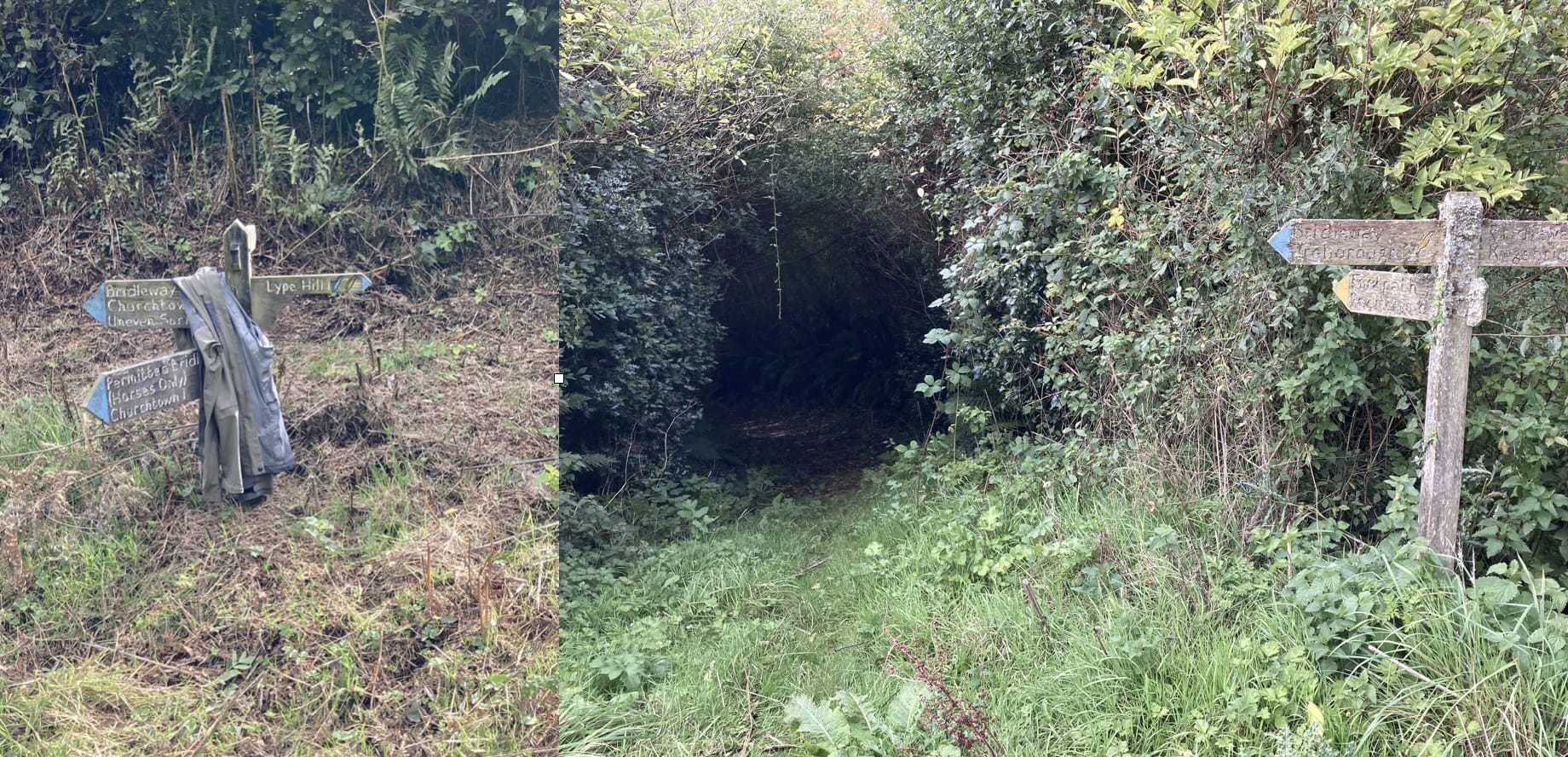
Someone got wet without raingear!
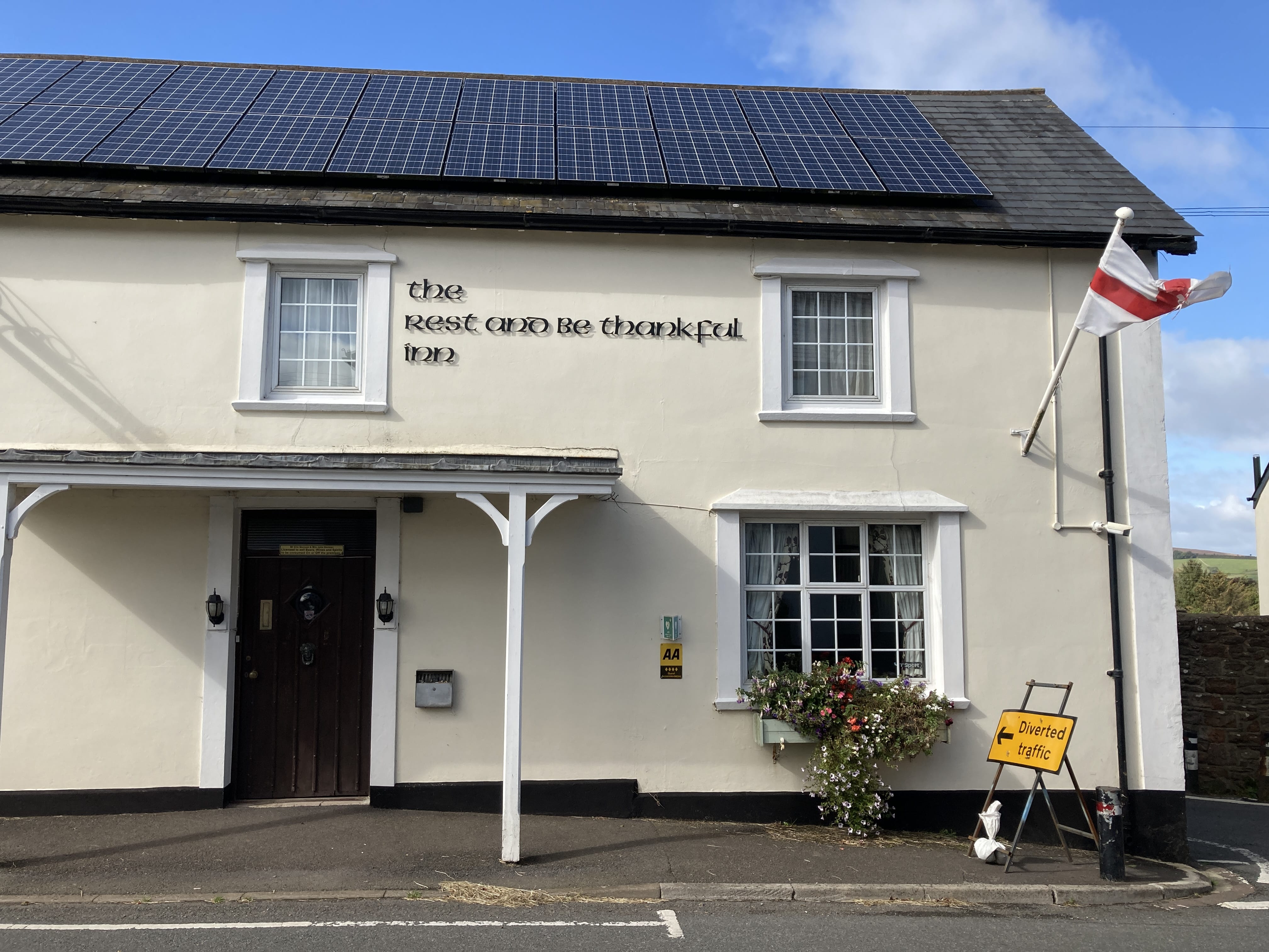
My place for the night and, yes, I'll strive for both.
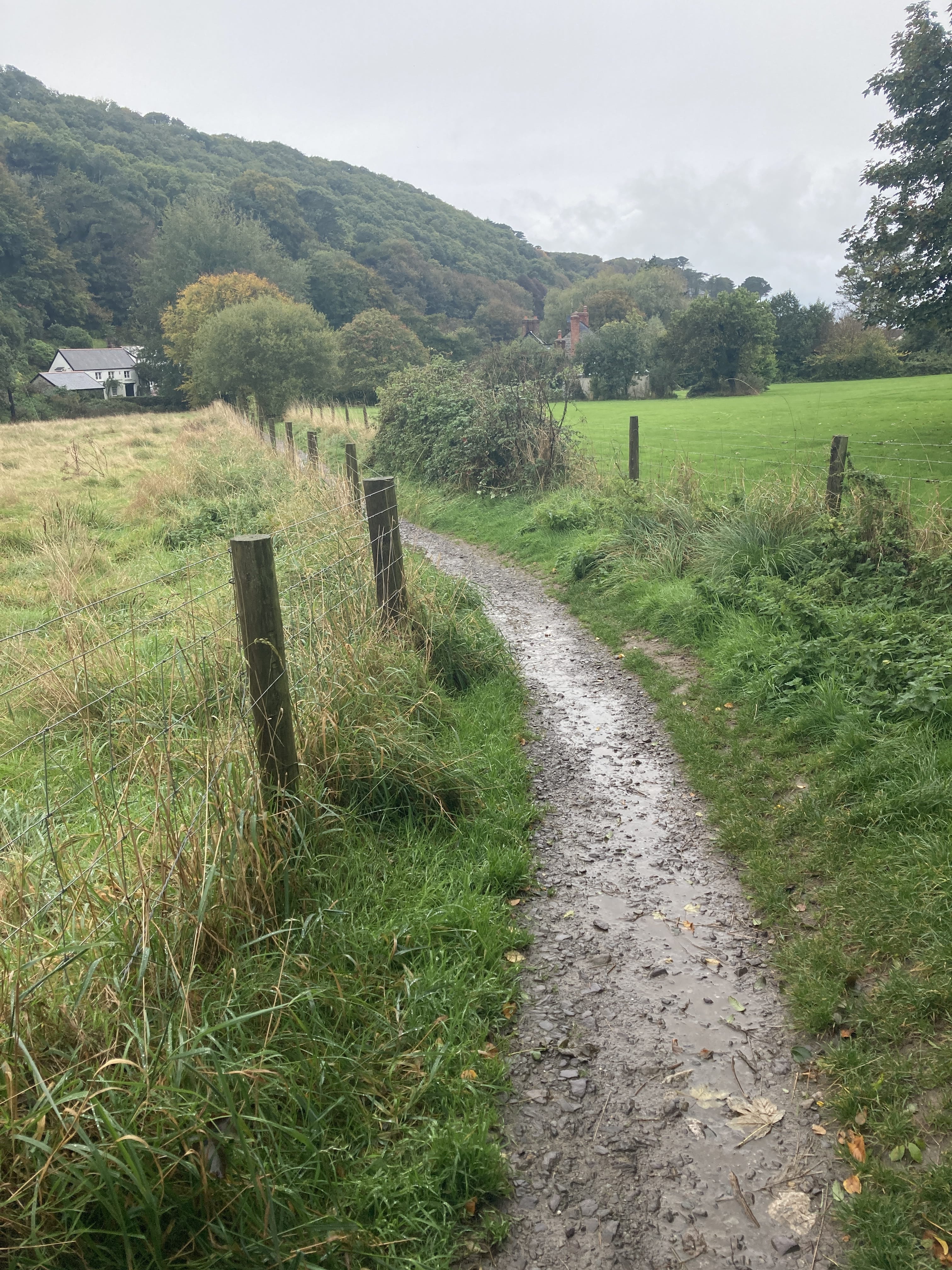
Wheddon Cross to Porlock Weir
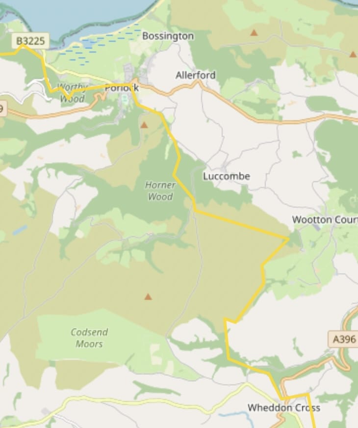
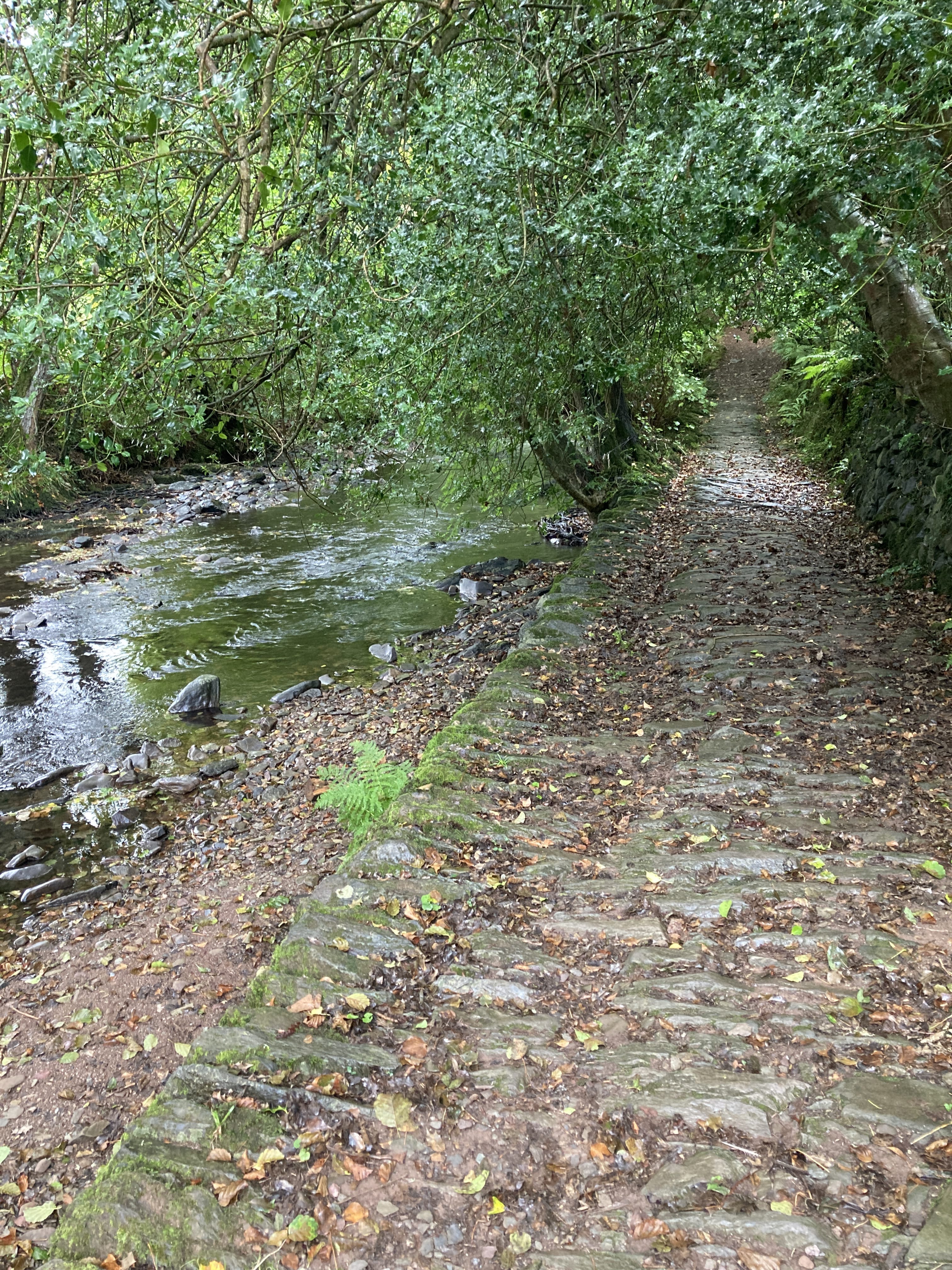
Nice forest walks today.
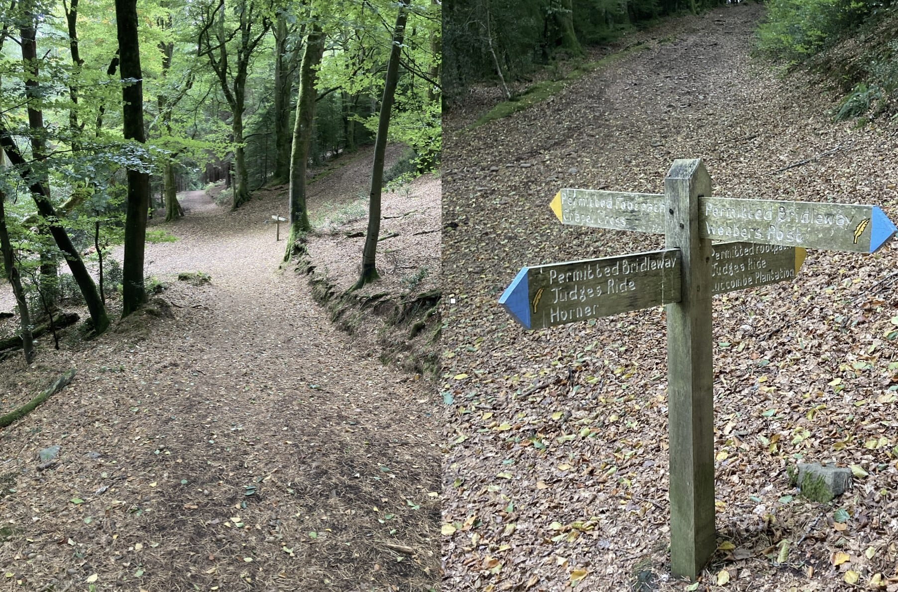
The Horner Wood is a lovely diversion just off the Coleridge way. It's an ancient oak woodland forest.
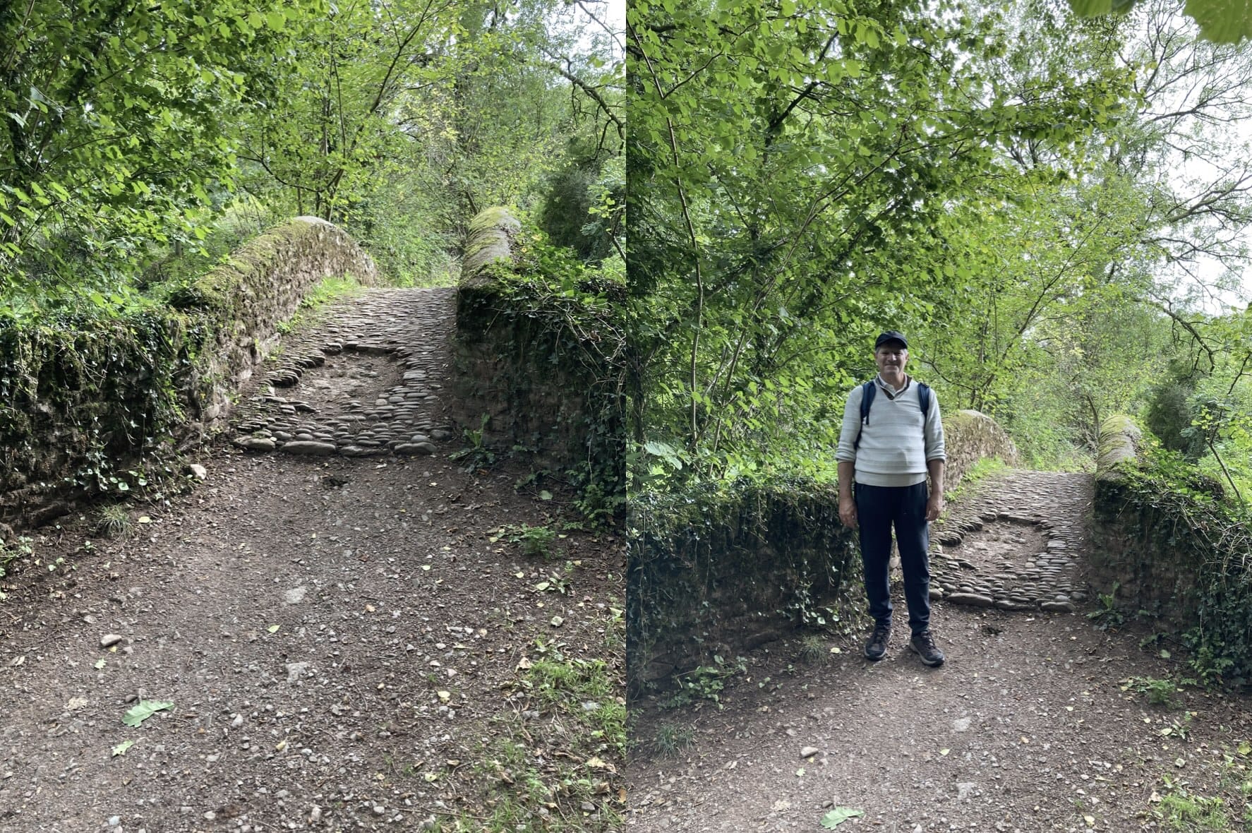
It also has a late medieval packhorse bridge.
On to Porlock Weir after a small lunch in Porlock.
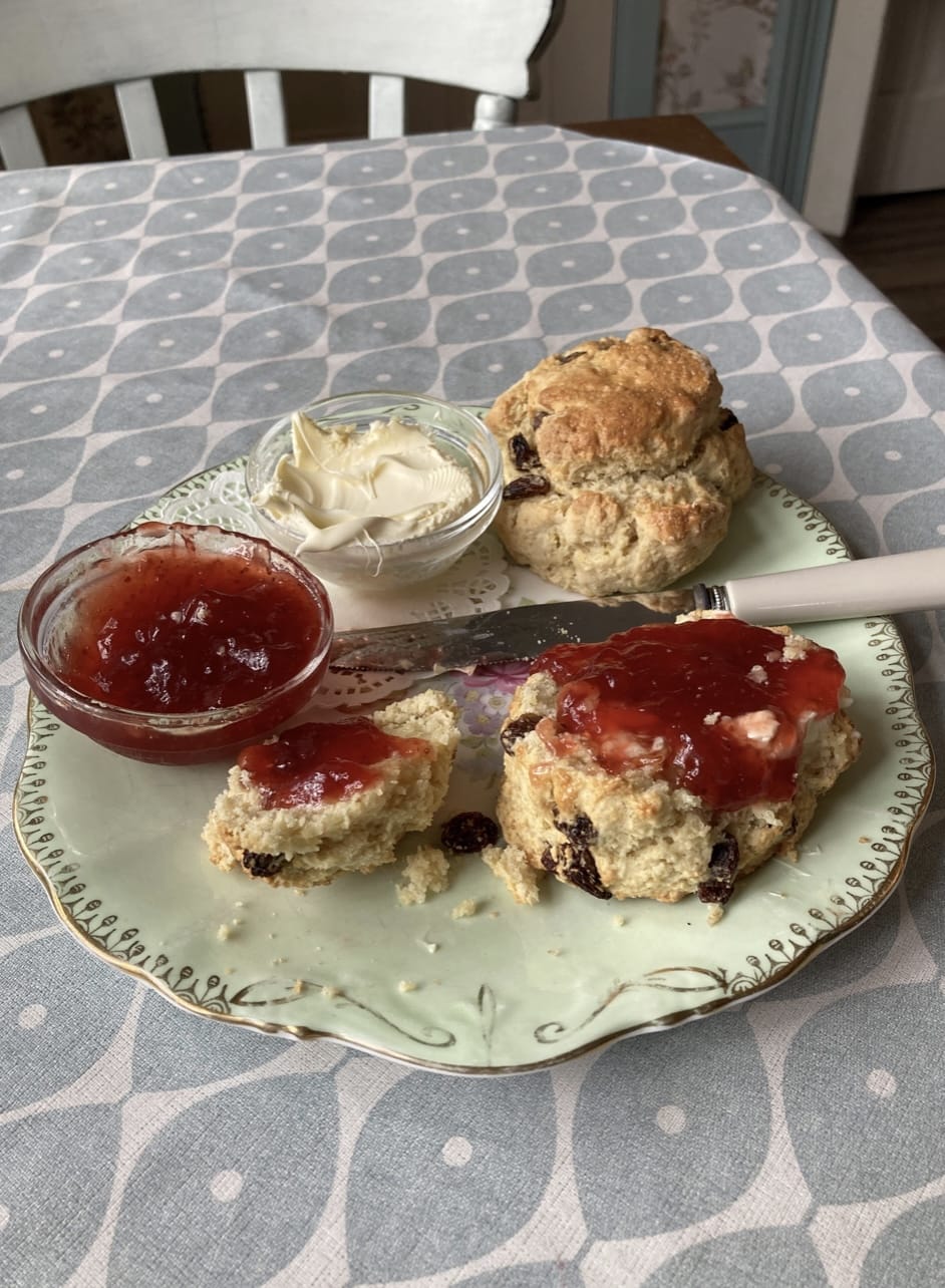
I did mention lunch, didn't I ?
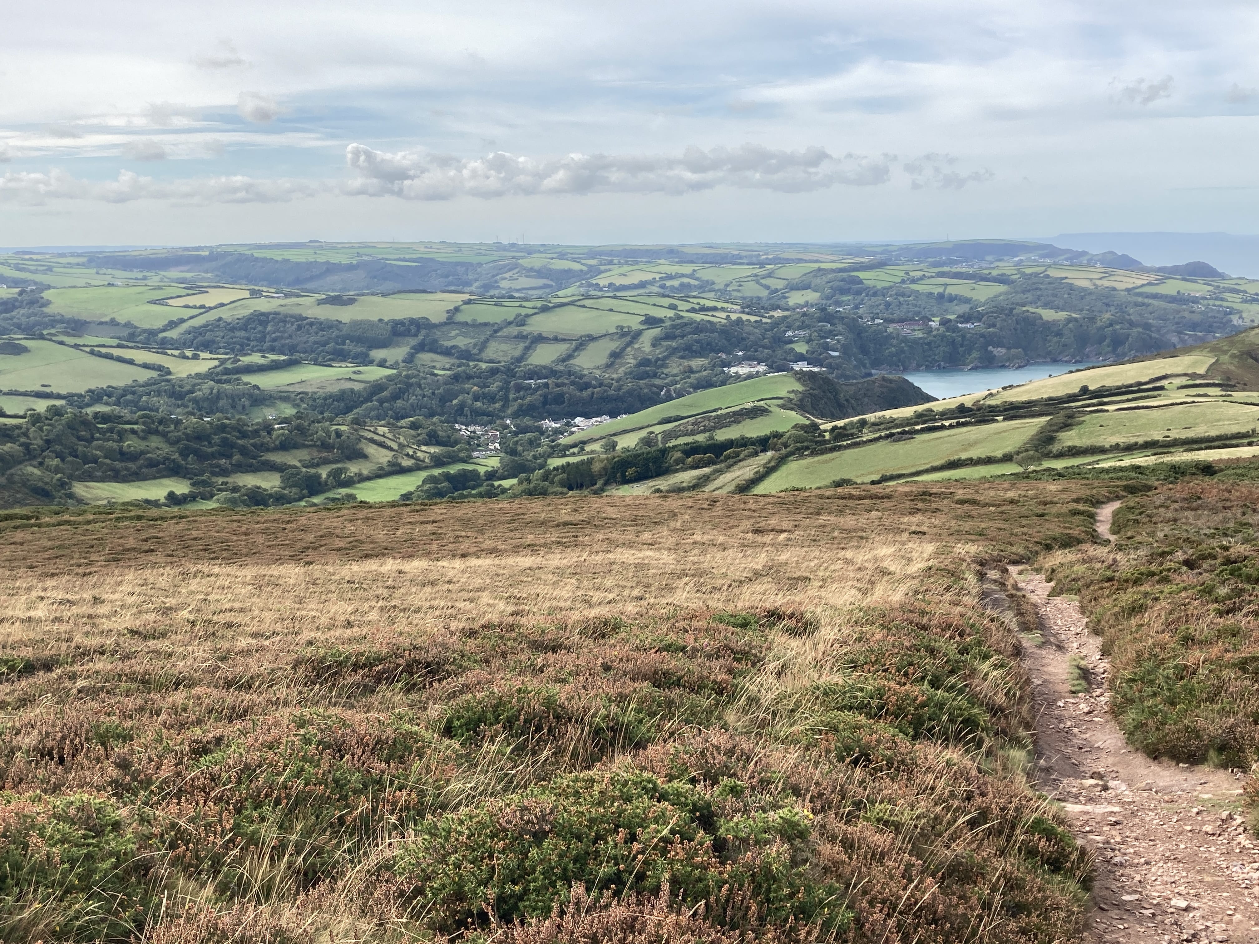
Porlock Weir to Brendon
A mixture of hill and woodland walking today.
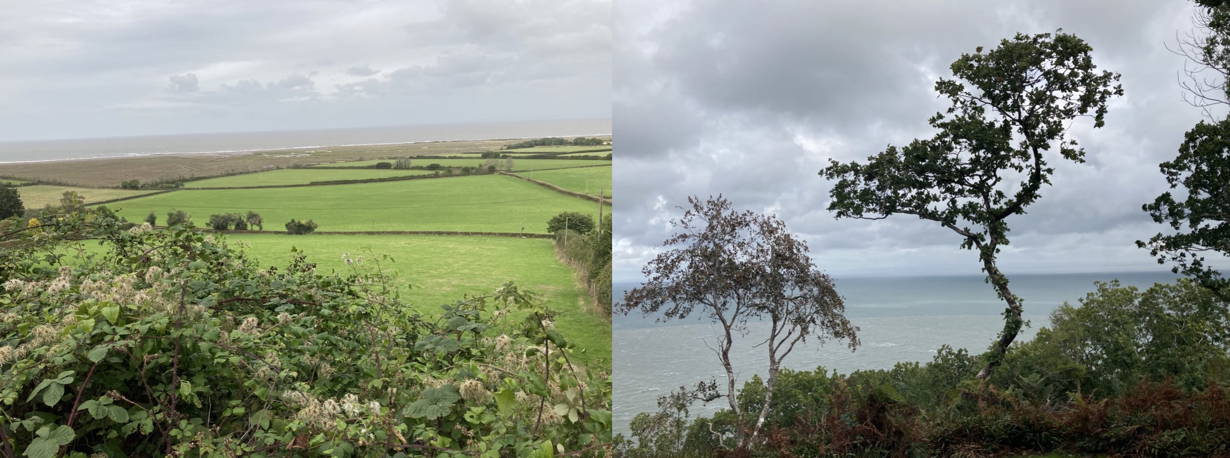
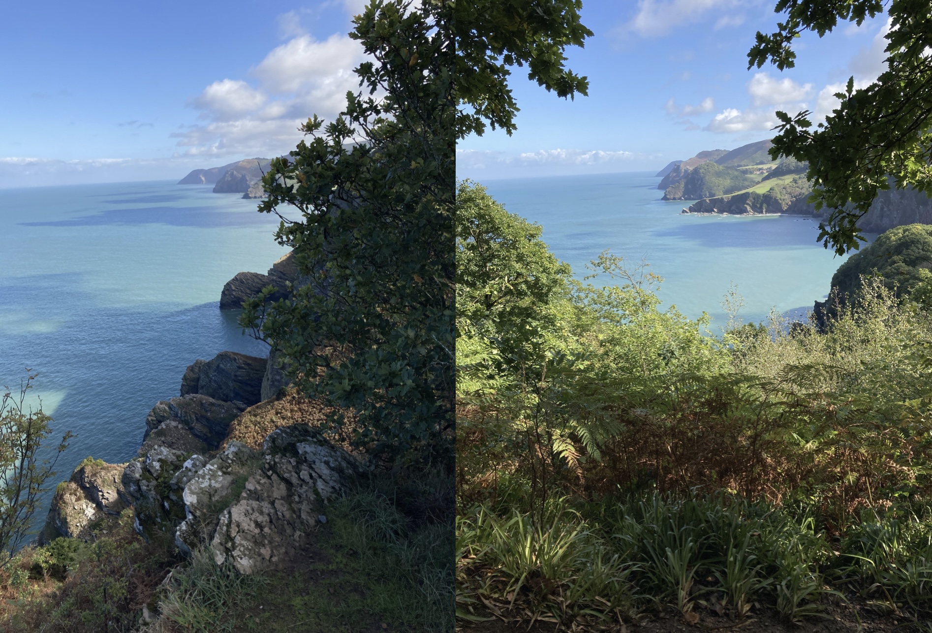
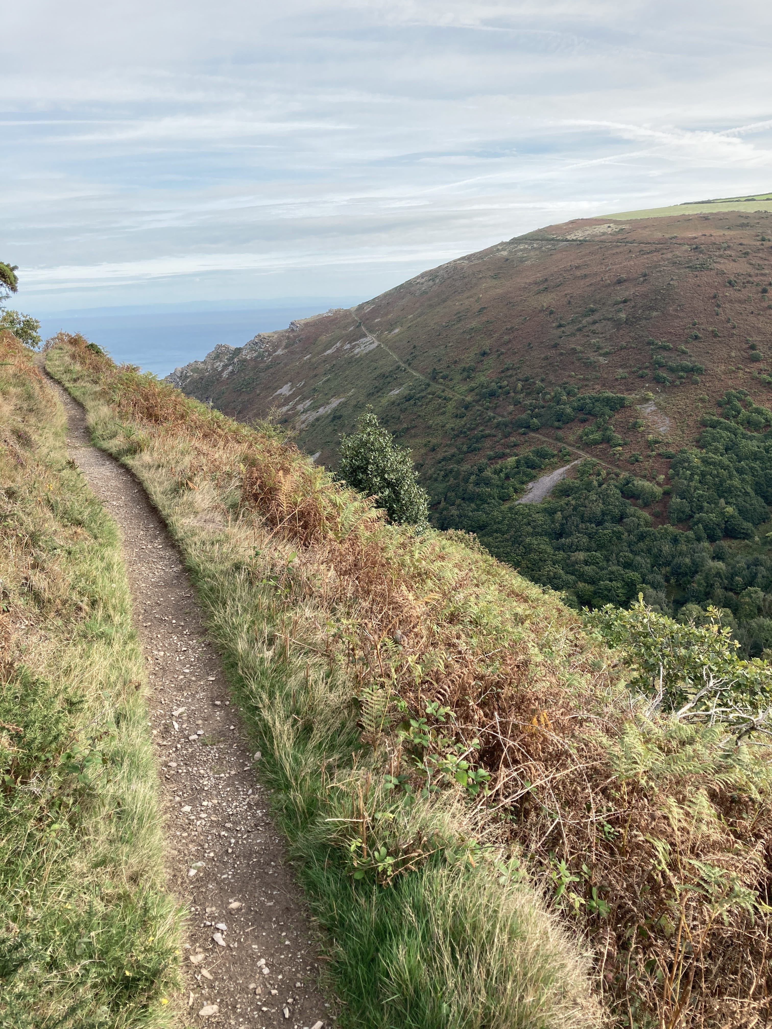
The Coleridge Way is now very near the Somerset coast and actually shares a path with the Southwest Coast Trail for a short stretch. The coast of Wales is easily seen across the Bristol Channel.
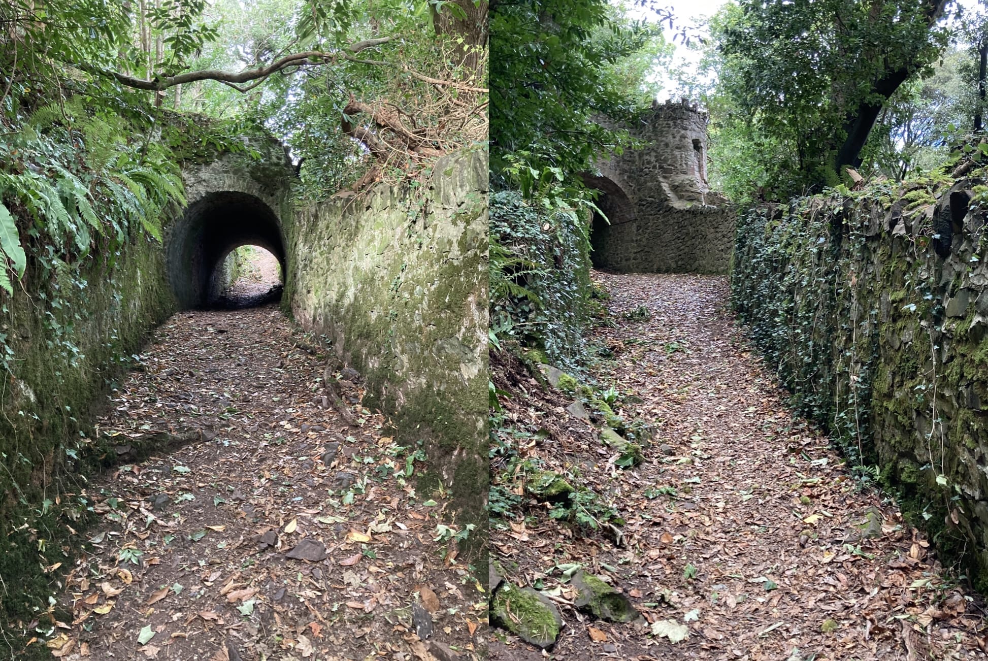
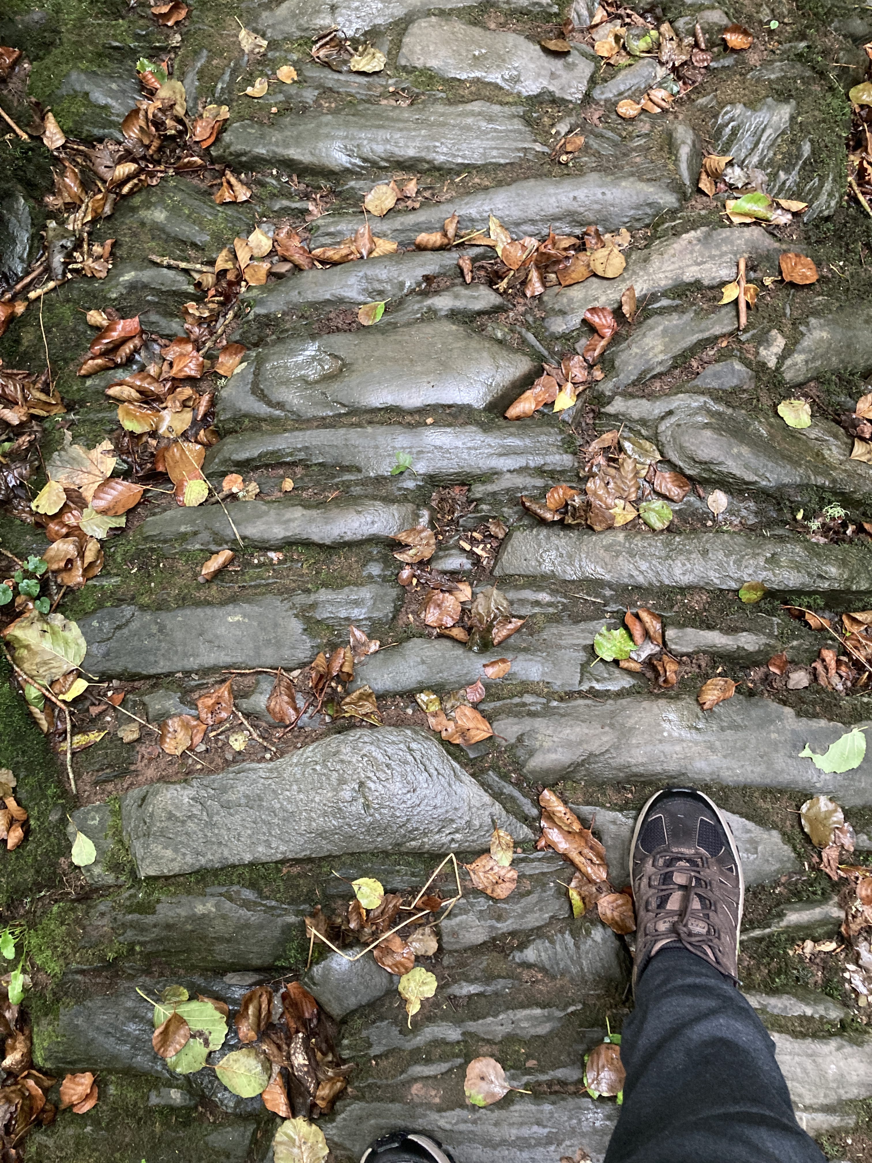
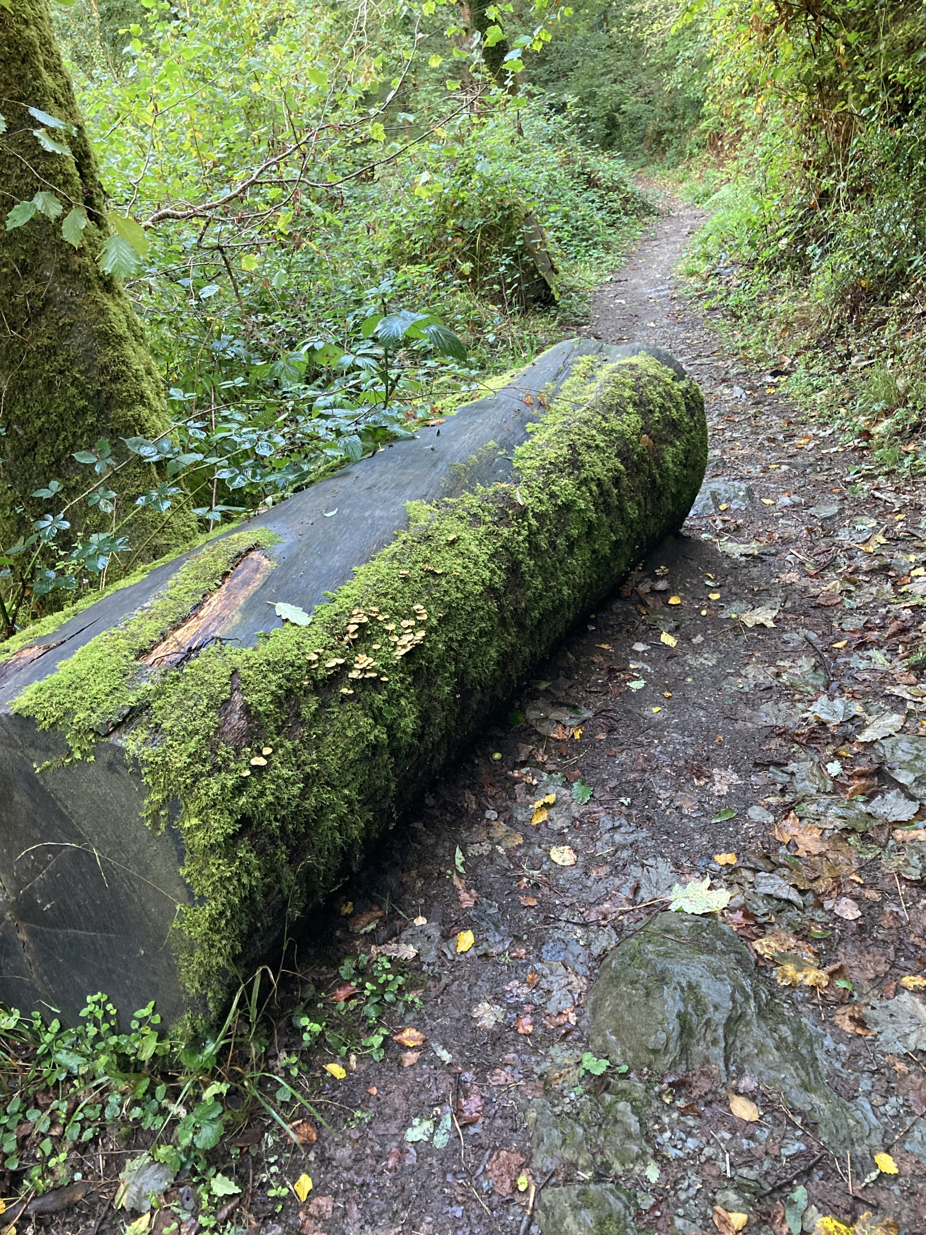
I like these ancient trail structures.
The Culbone Church is reputedly the smallest active parish church in England, 800 -plus years old.
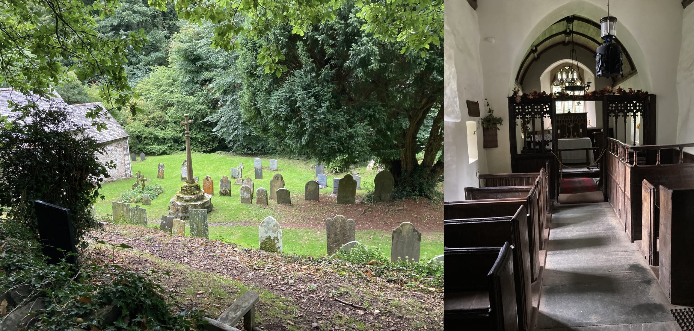
It has room for about 30 congregants who have to walk about one and a half miles to participate in a hymnal as there is no road to it. I guess they're all fit with good knees.
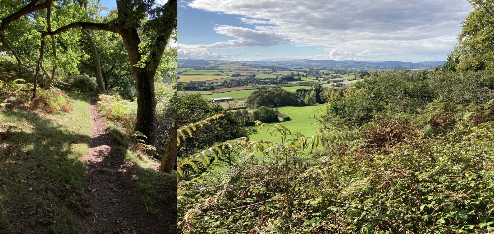
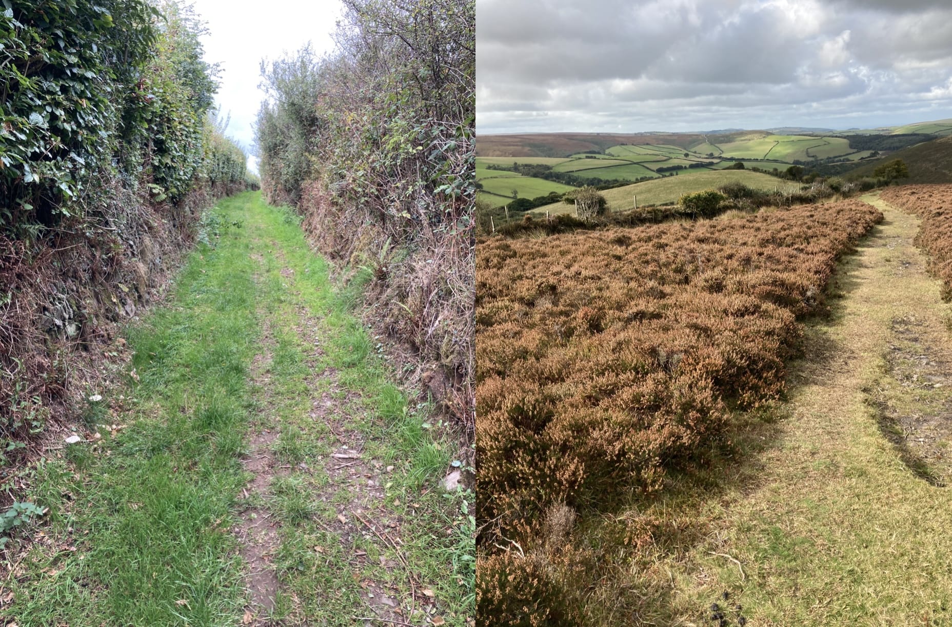
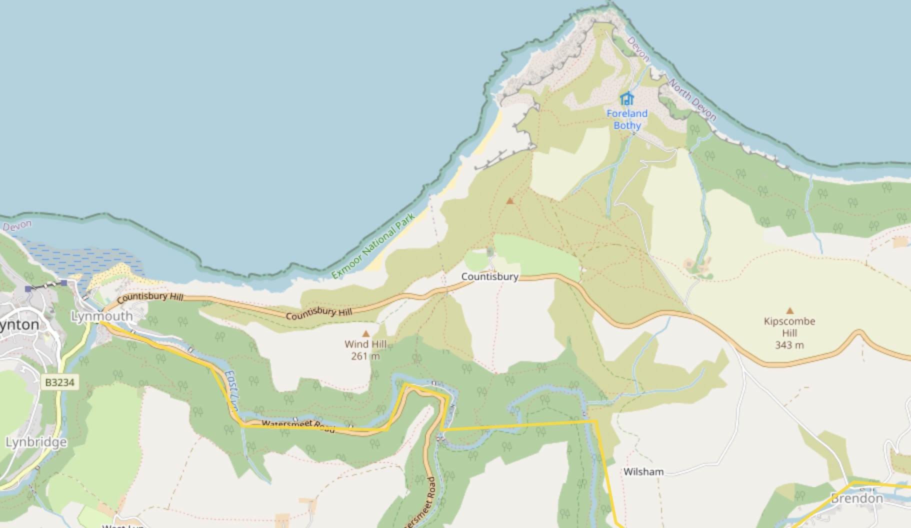
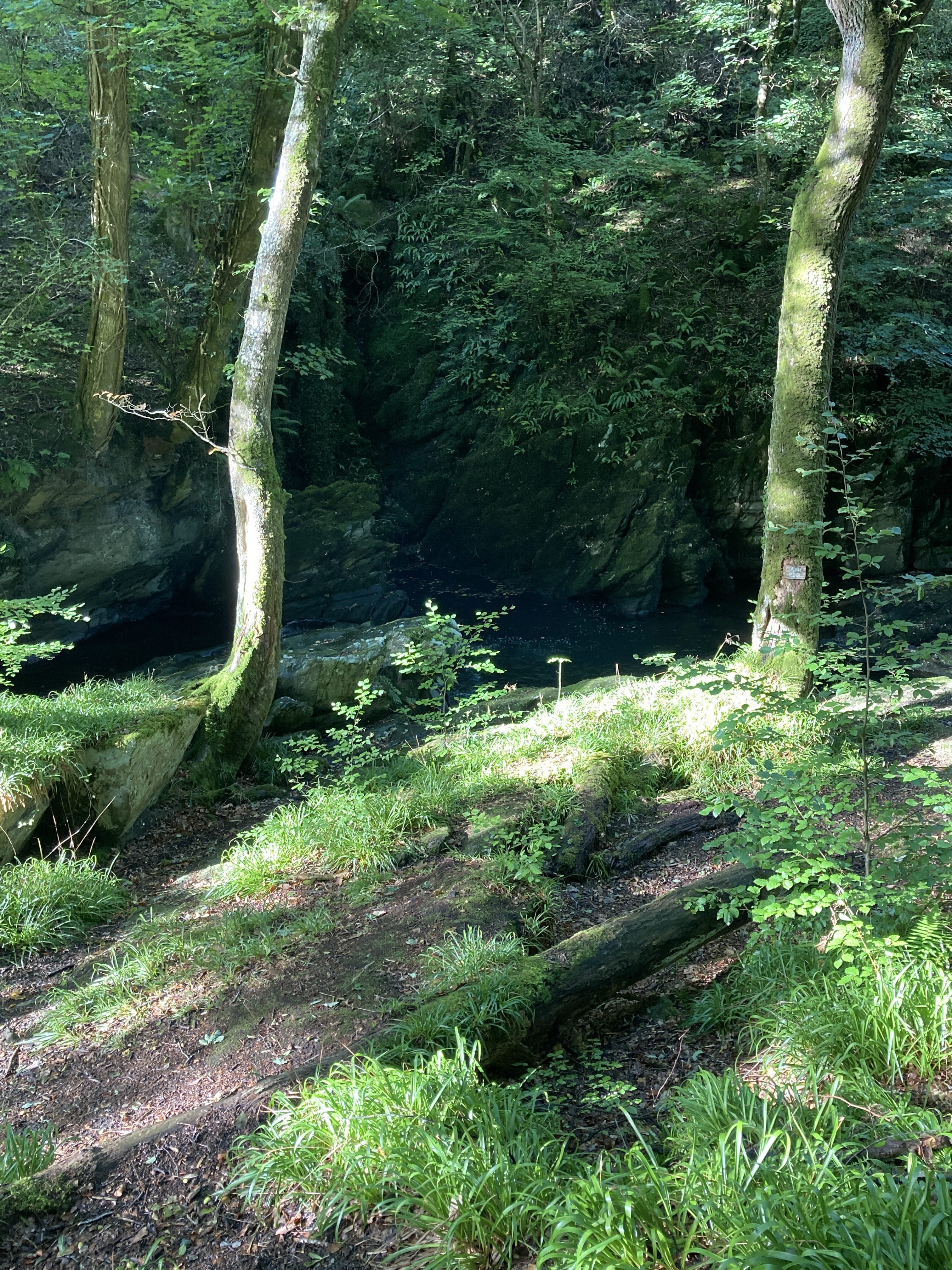
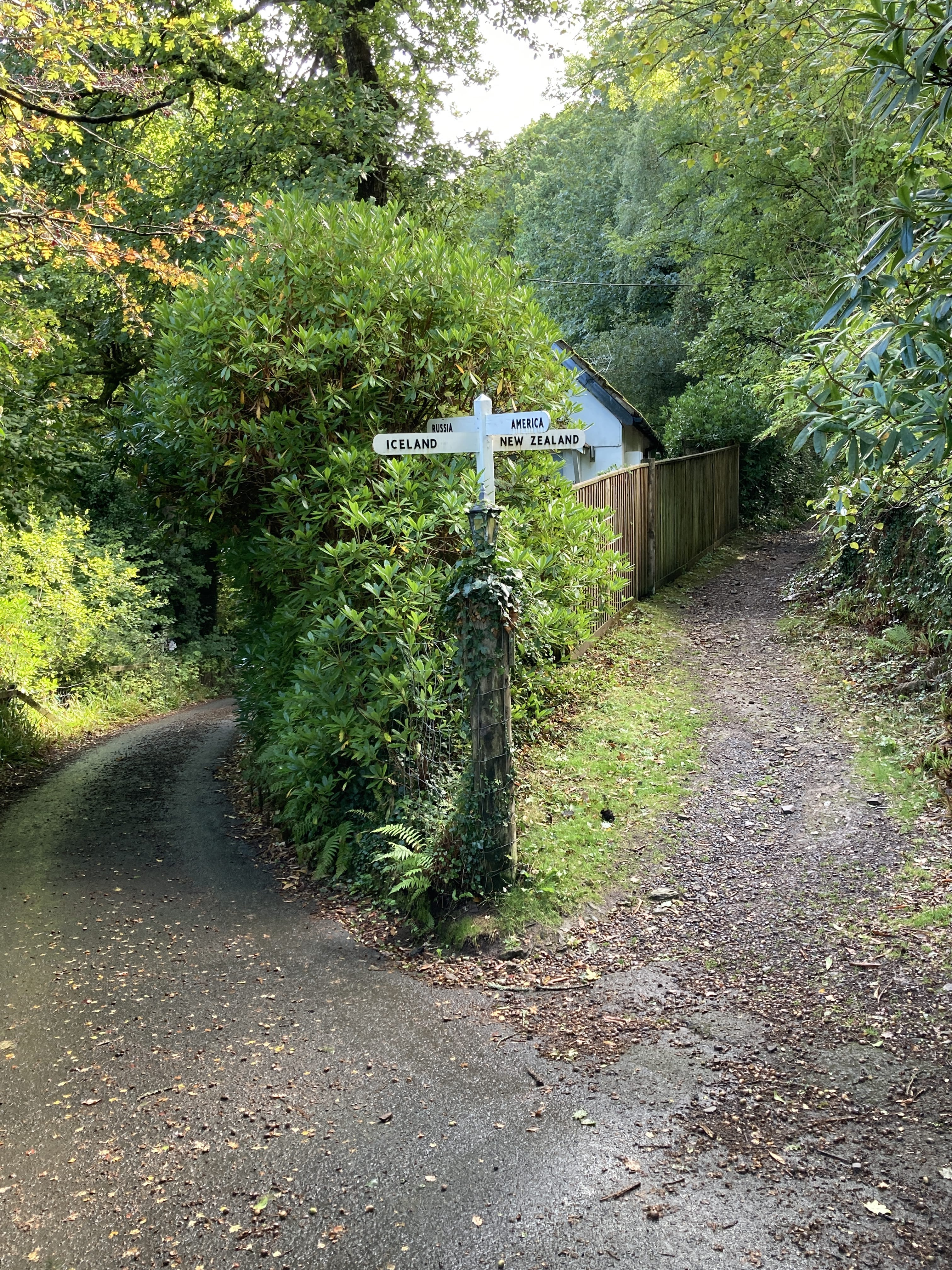
Ah, all kinds of trails. I know I was invisible walking between the two hedgerows.
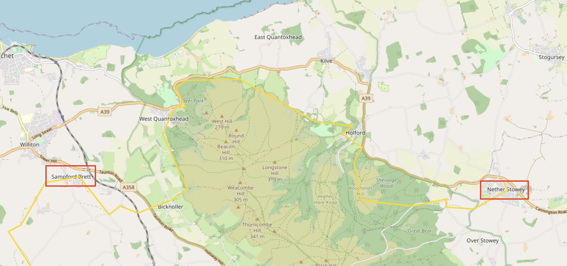
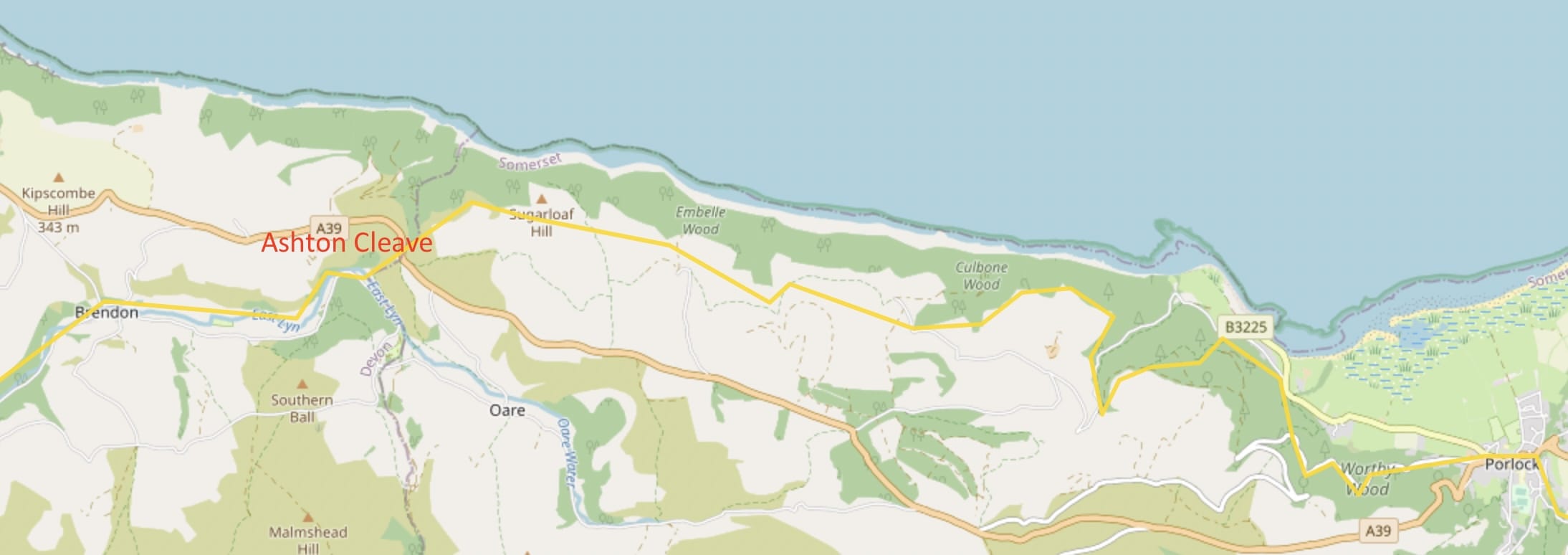
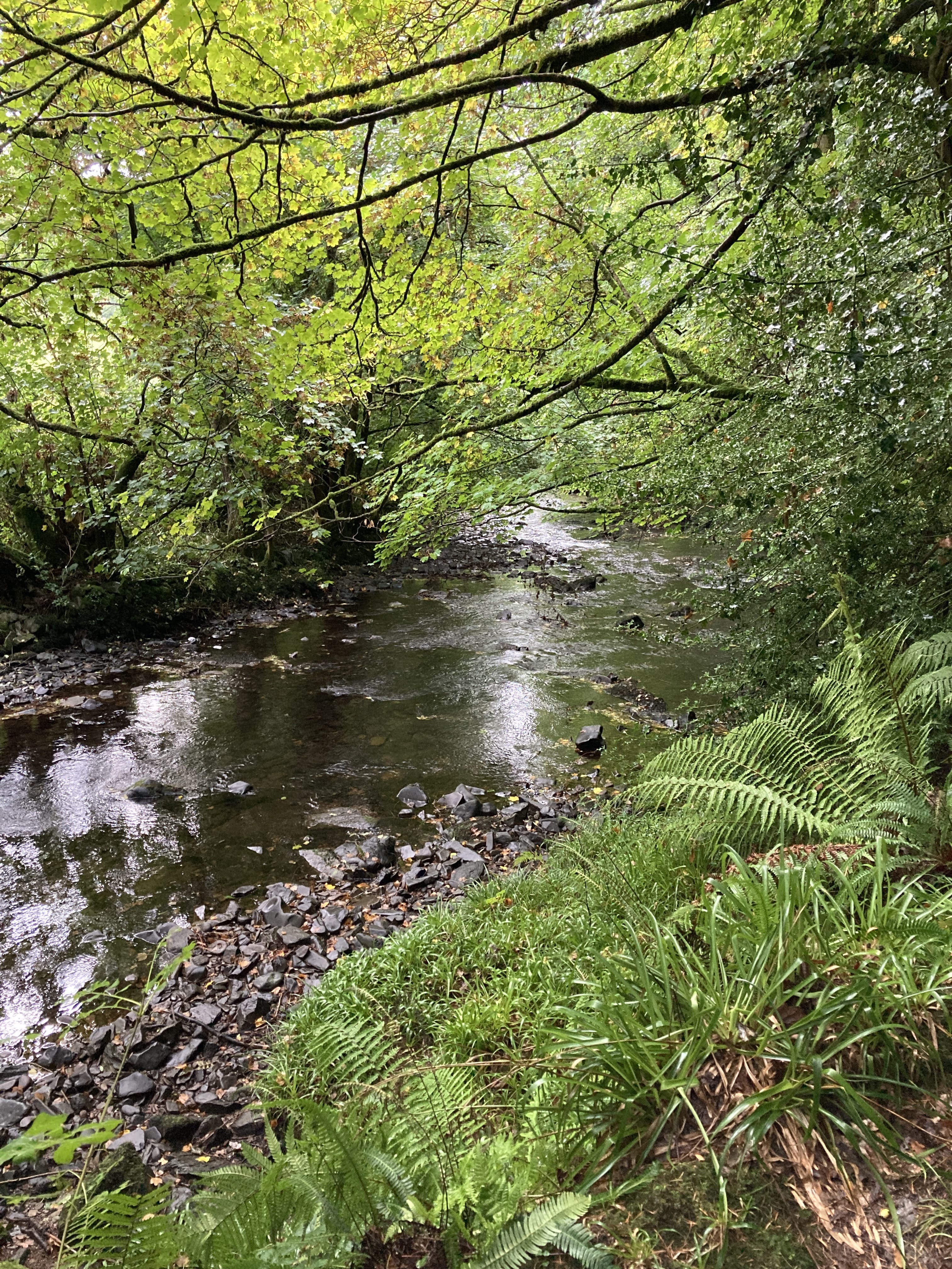
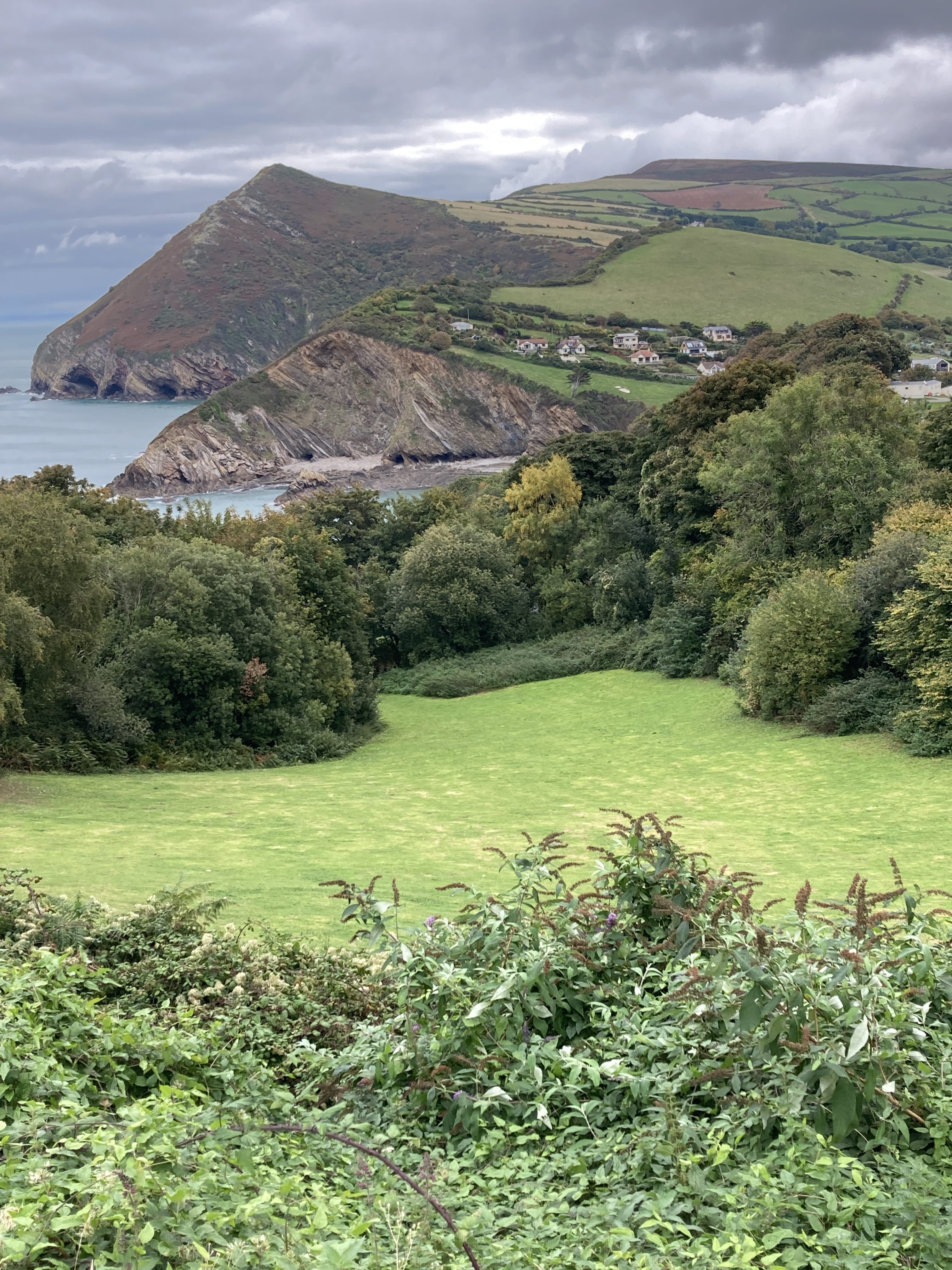
One walks in the narrow space (valley) between two steep hills, and alongside a stream, in Ashton Cleave - exiting the Cleave into a nice broad valley. The location is indicated in the map above.
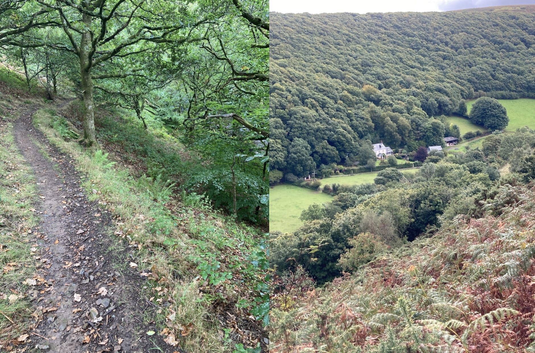
Ahead in the valley is the village of Brendon where I'll spend the night. This is probably the most beautiful hillside entrance into a village I've experienced.
Brendon to Lynmouth
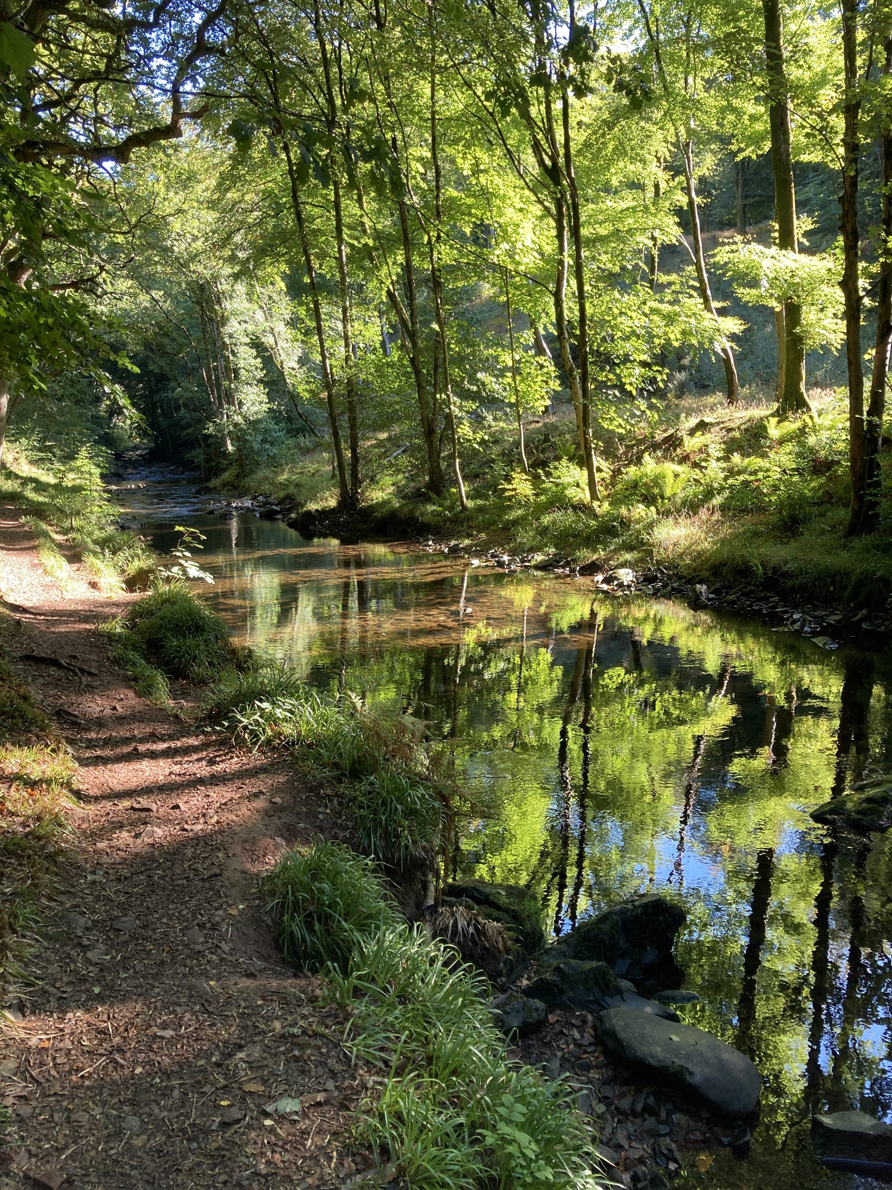
A short walk to end the trip -- through beautiful riverside woodlands, probably the nicest such walk I've ever done!
Here a property owner allows the path to run behind his back door. The Brits are great about rights-of-way to Public Footpaths throughout the country.
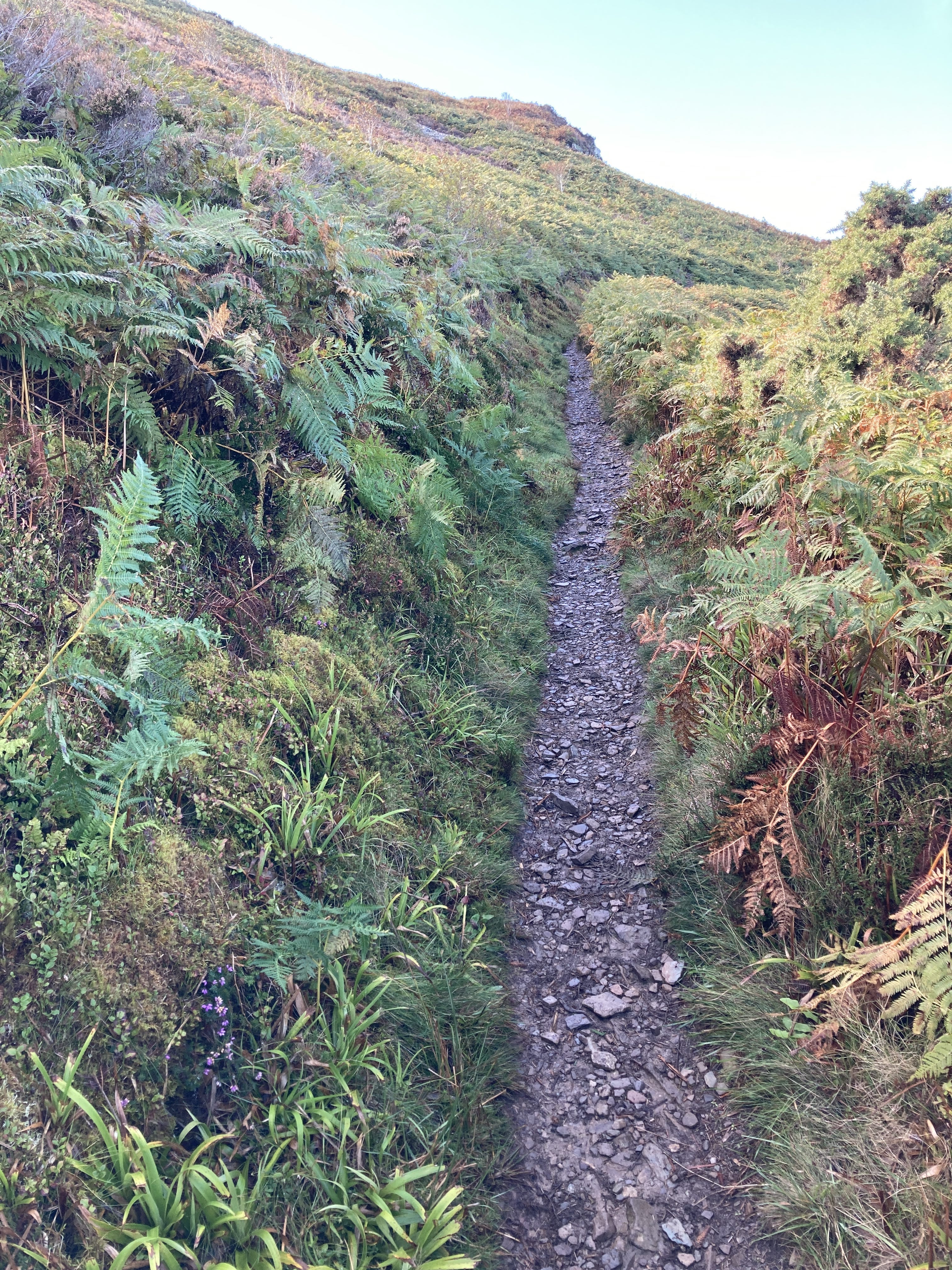
Some trail views:
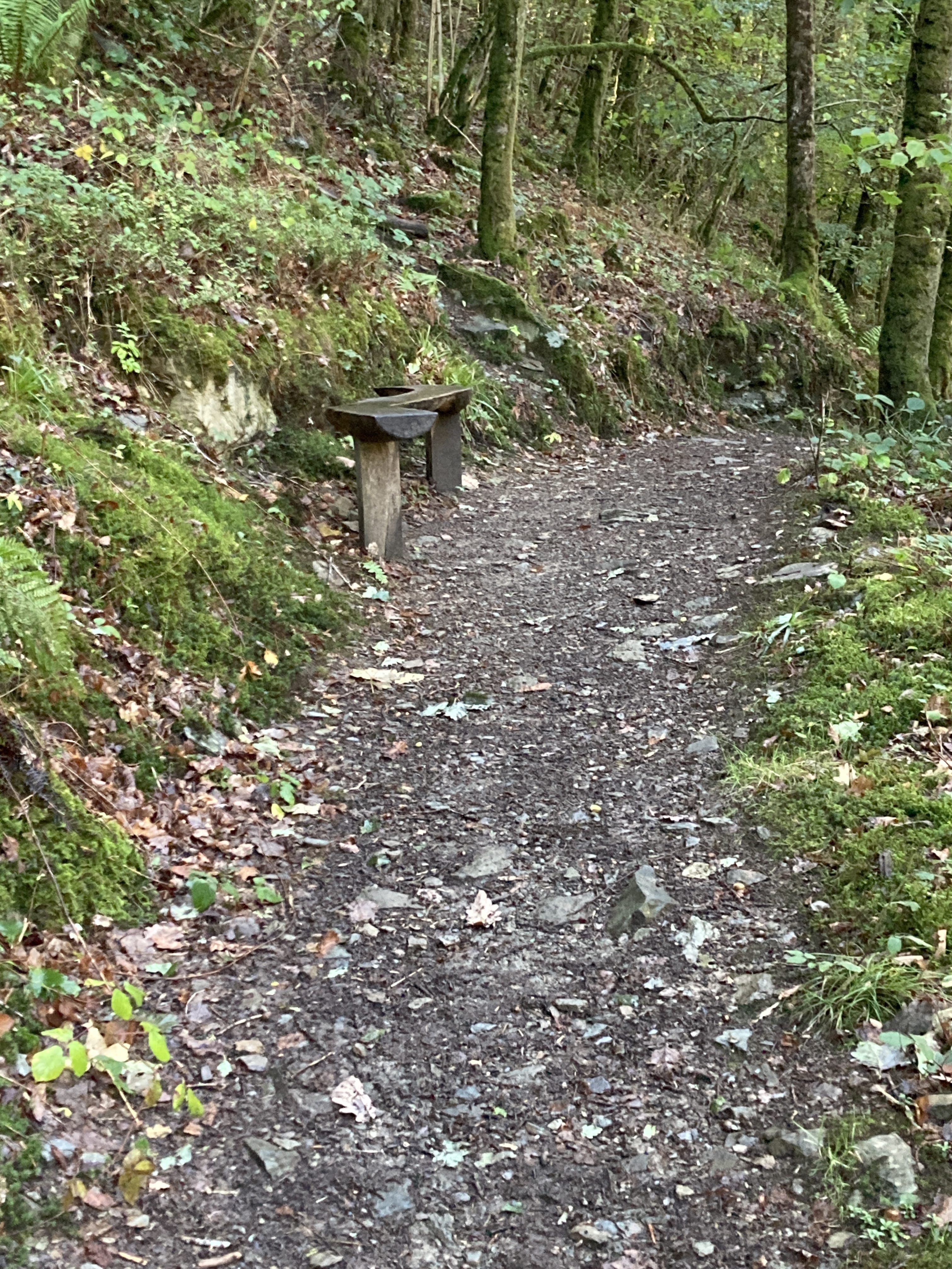
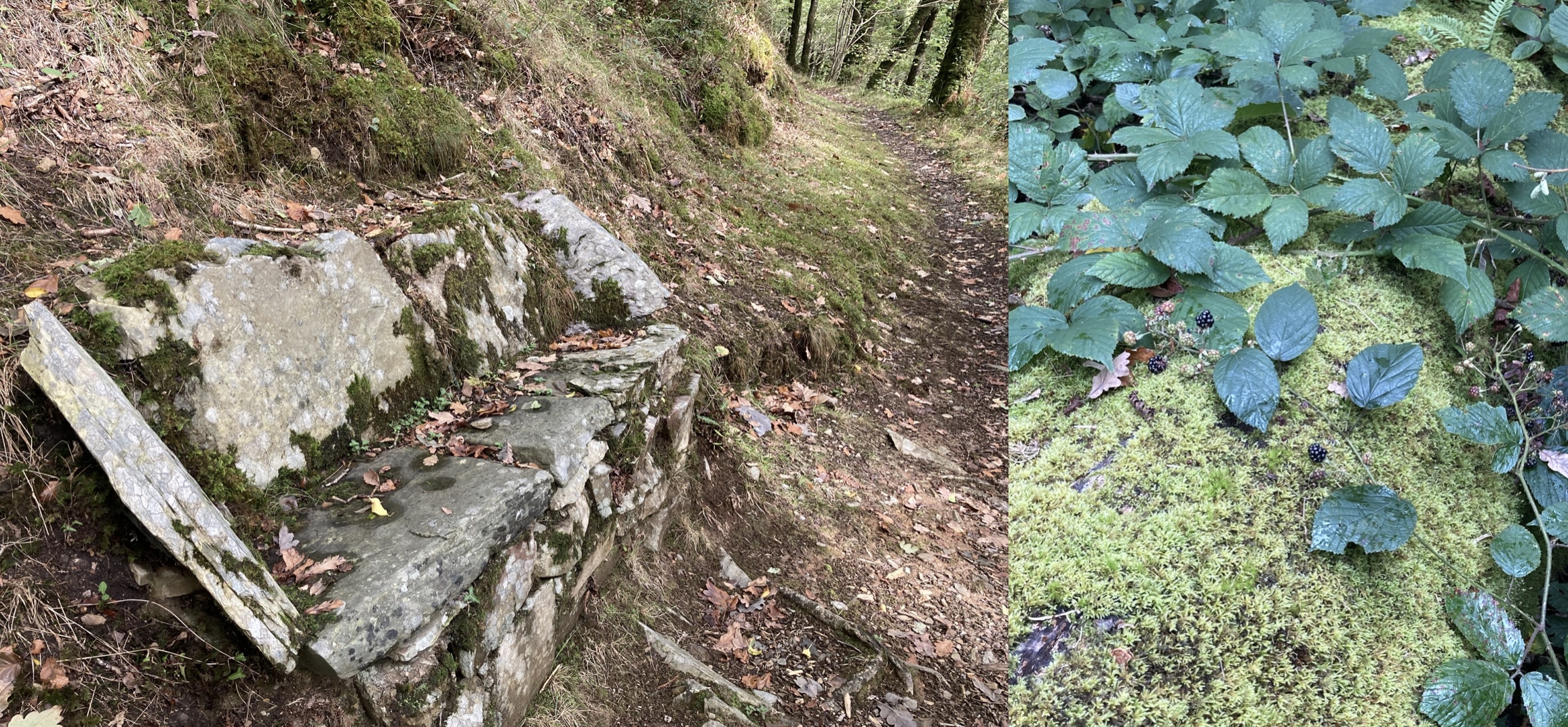
You can sit for a bit.
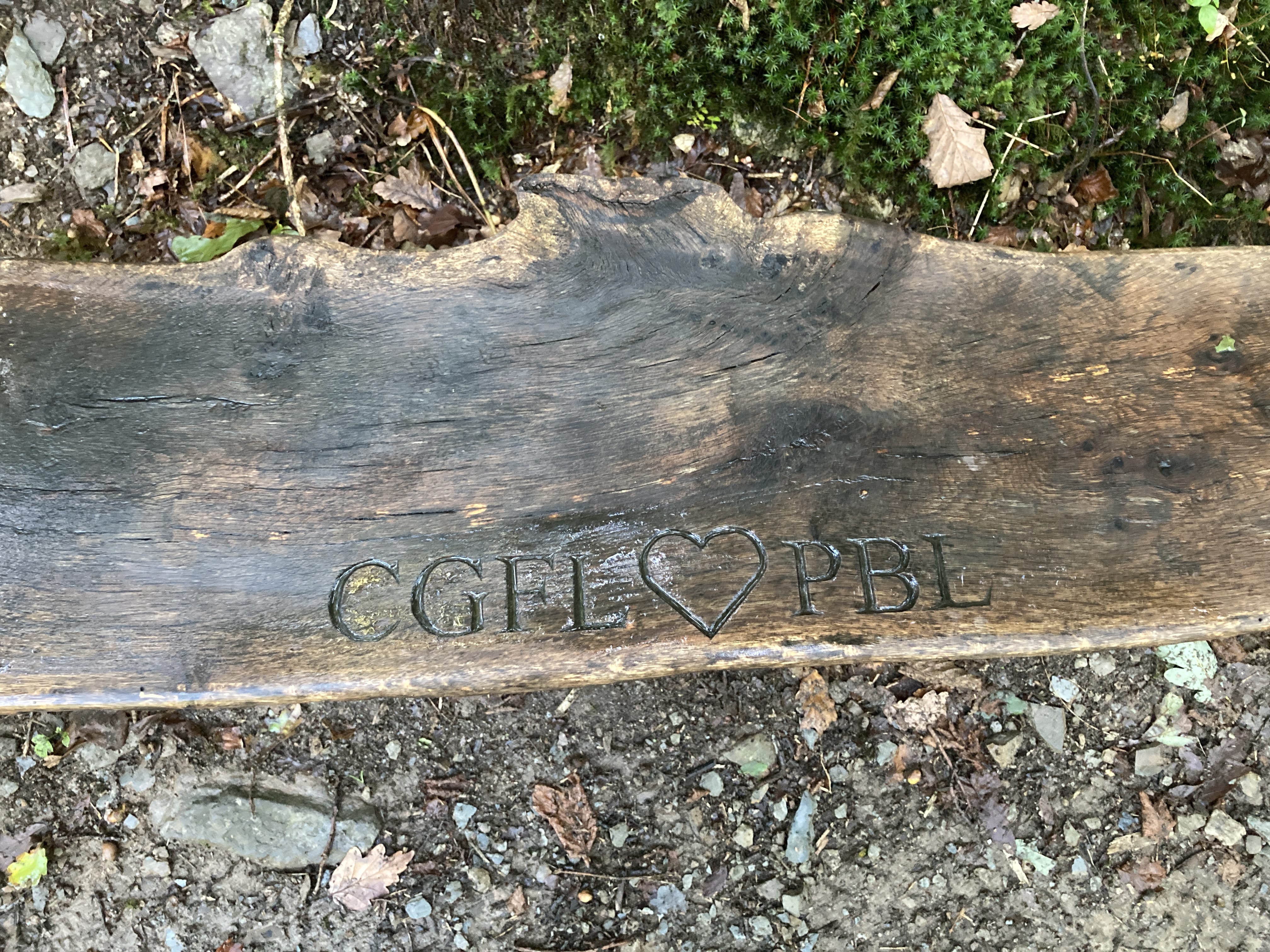
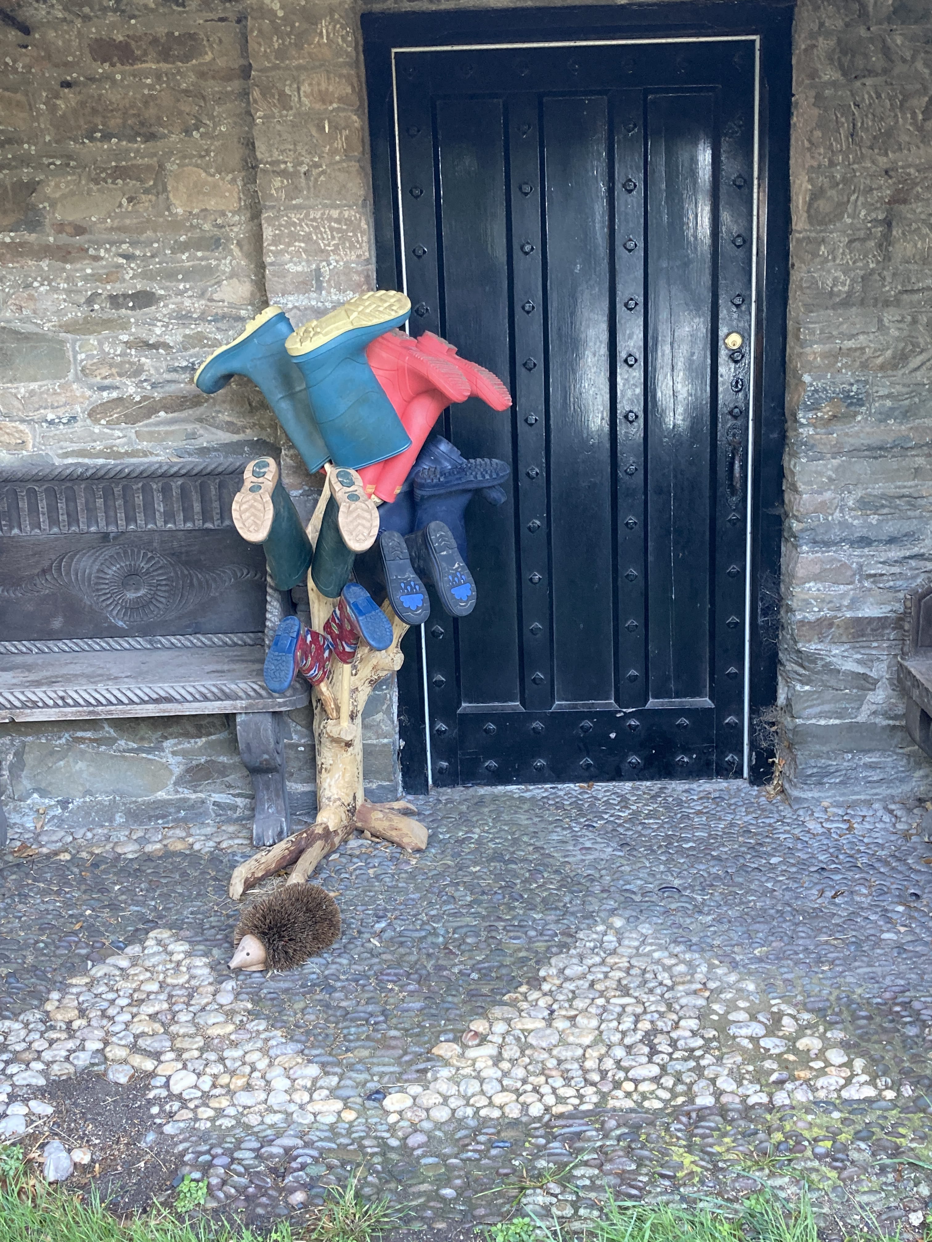
Oh, a nice gesture :-)
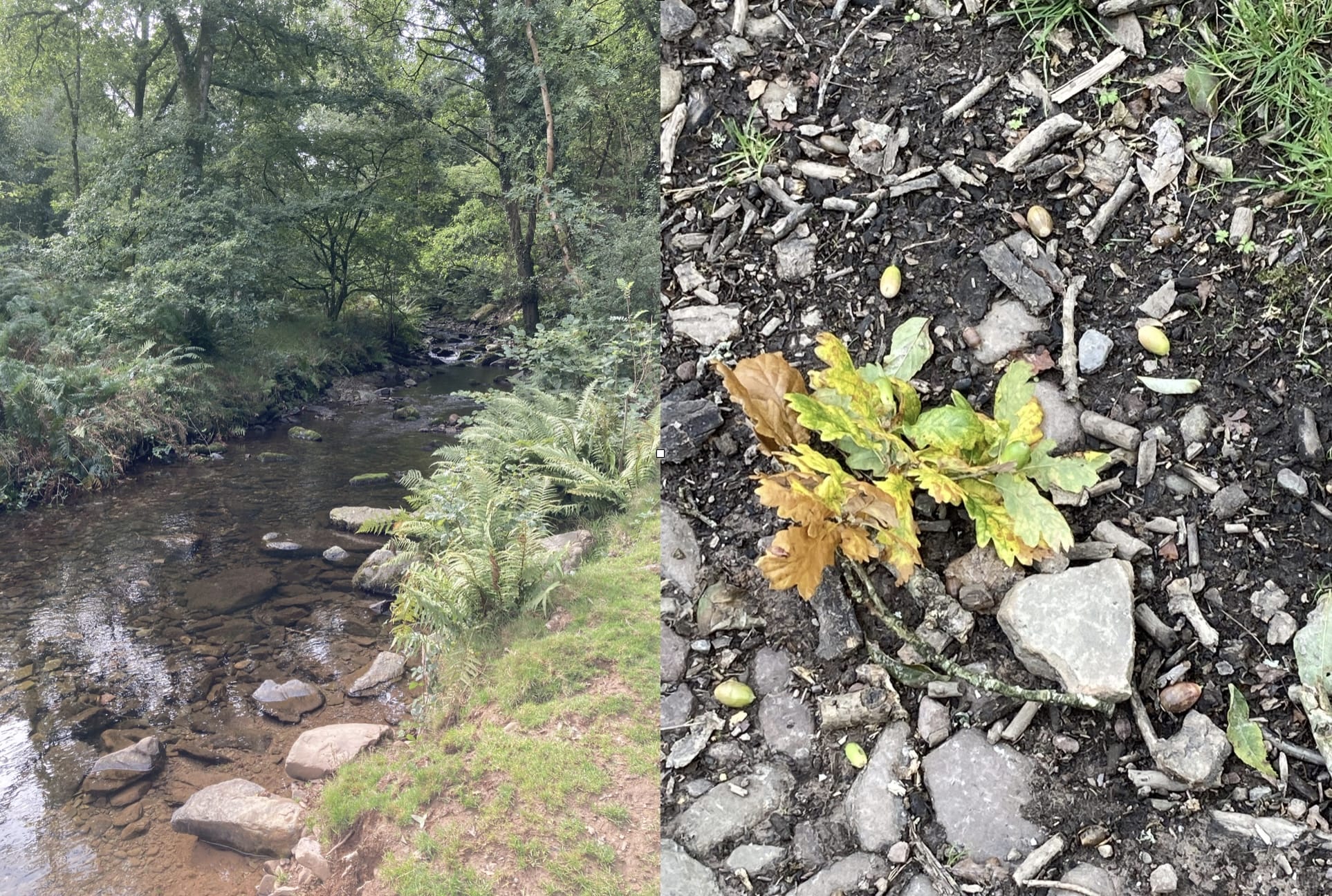
The oaks and ferns are wonderful.
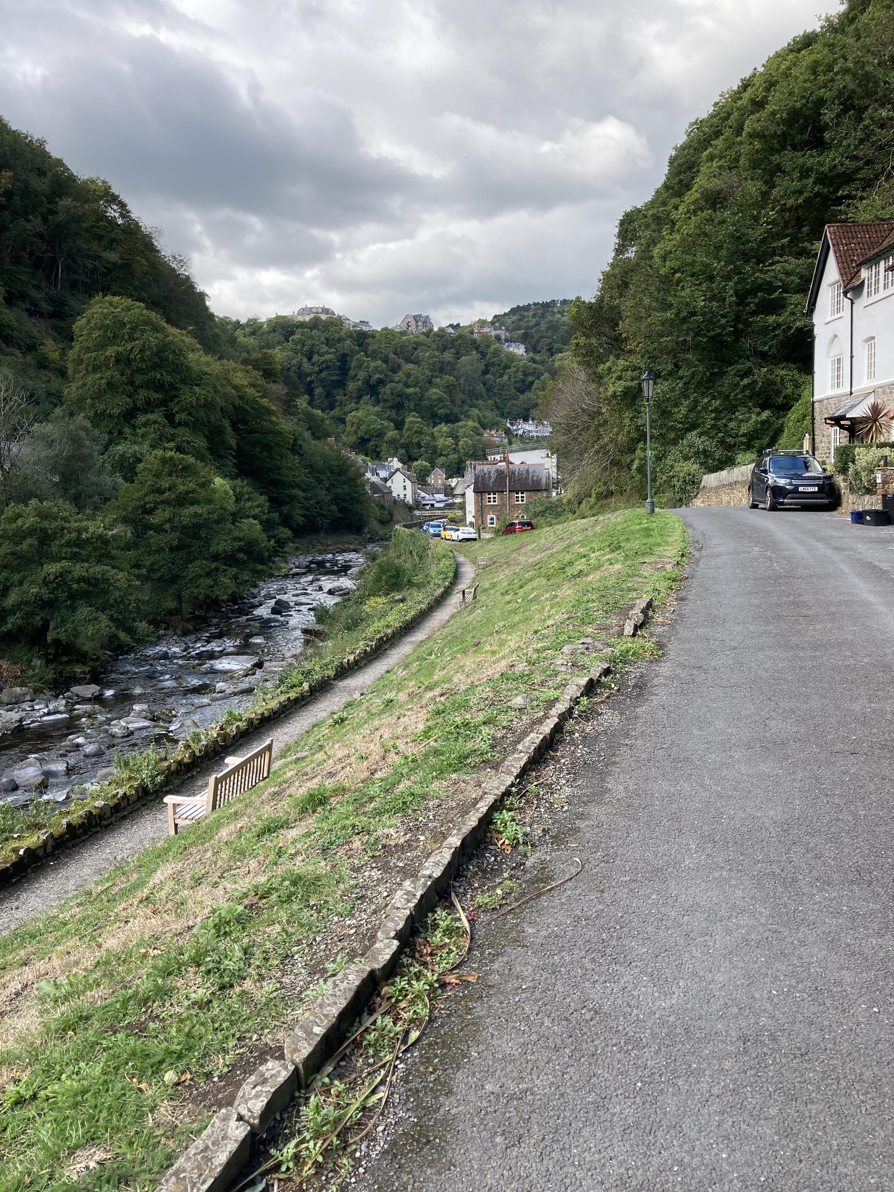
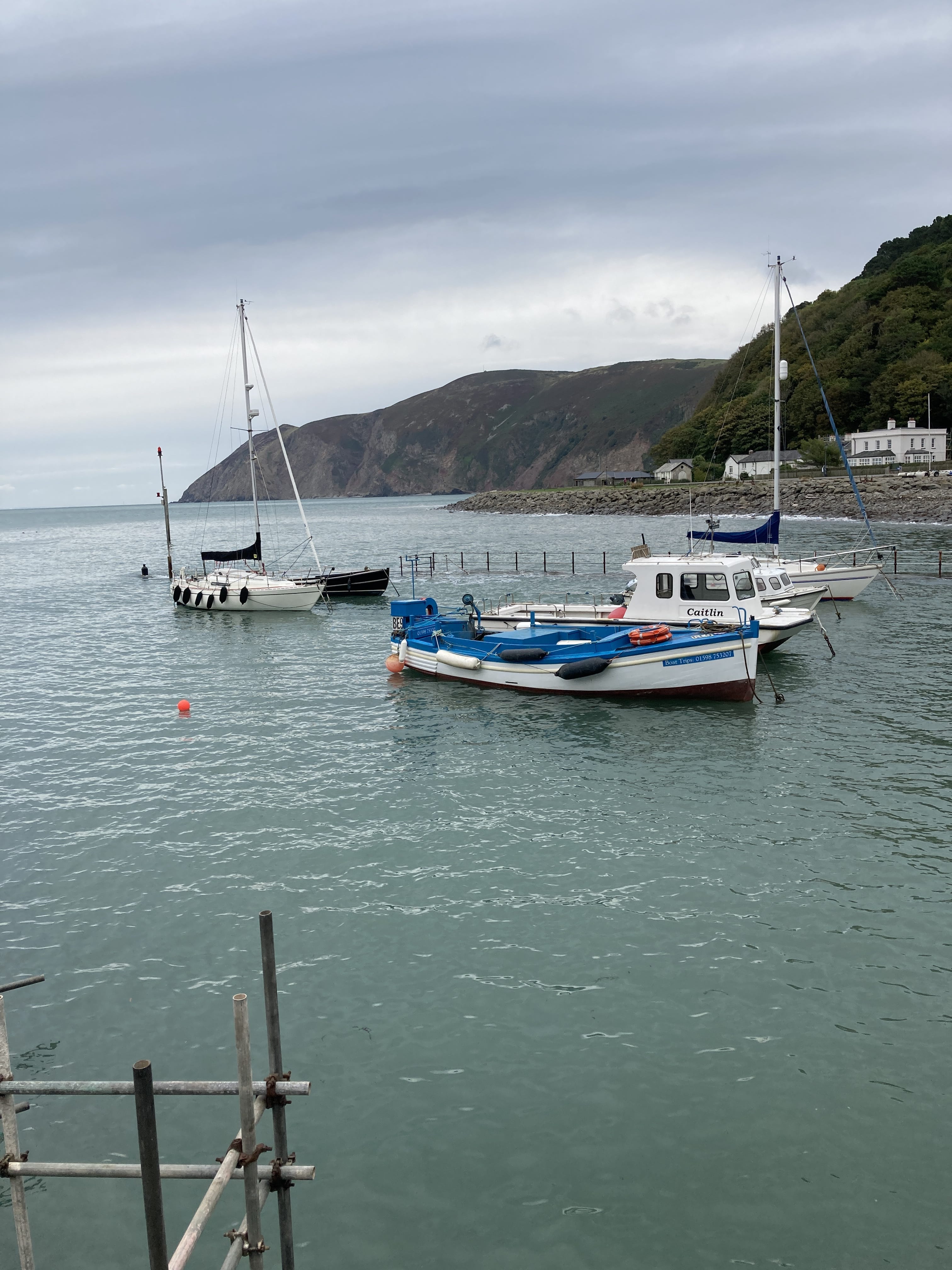
Walking into Lynmouth.
At the seaside and readying for my Coast Walk in two days.
Well, the folks in the Exmoor Pavilion in town kinda insisted...
A side trip -- Exe Head to Lymouth
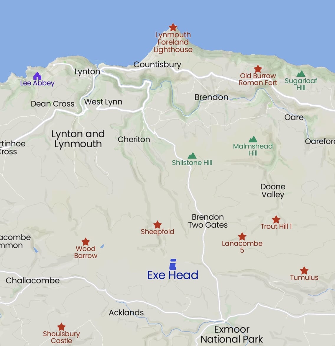
I took a taxi to the trailhead near Simonsbath for an eleven-mile walk back to Lynmouth.
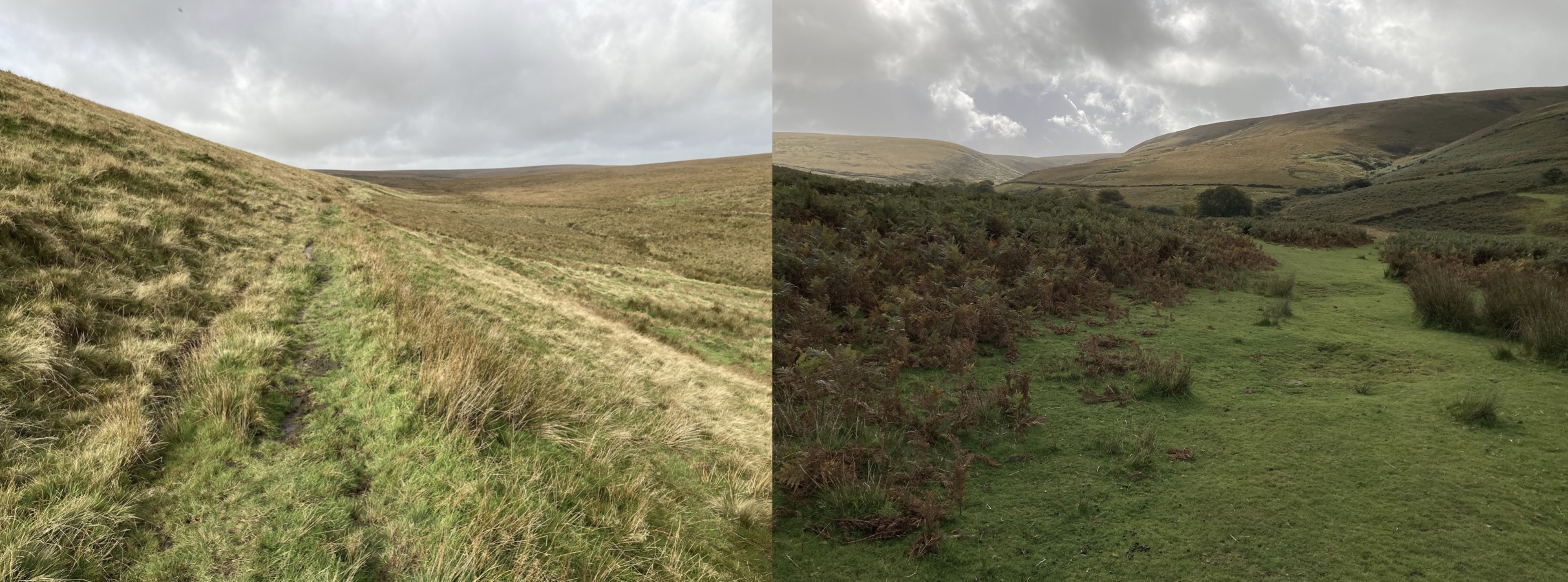
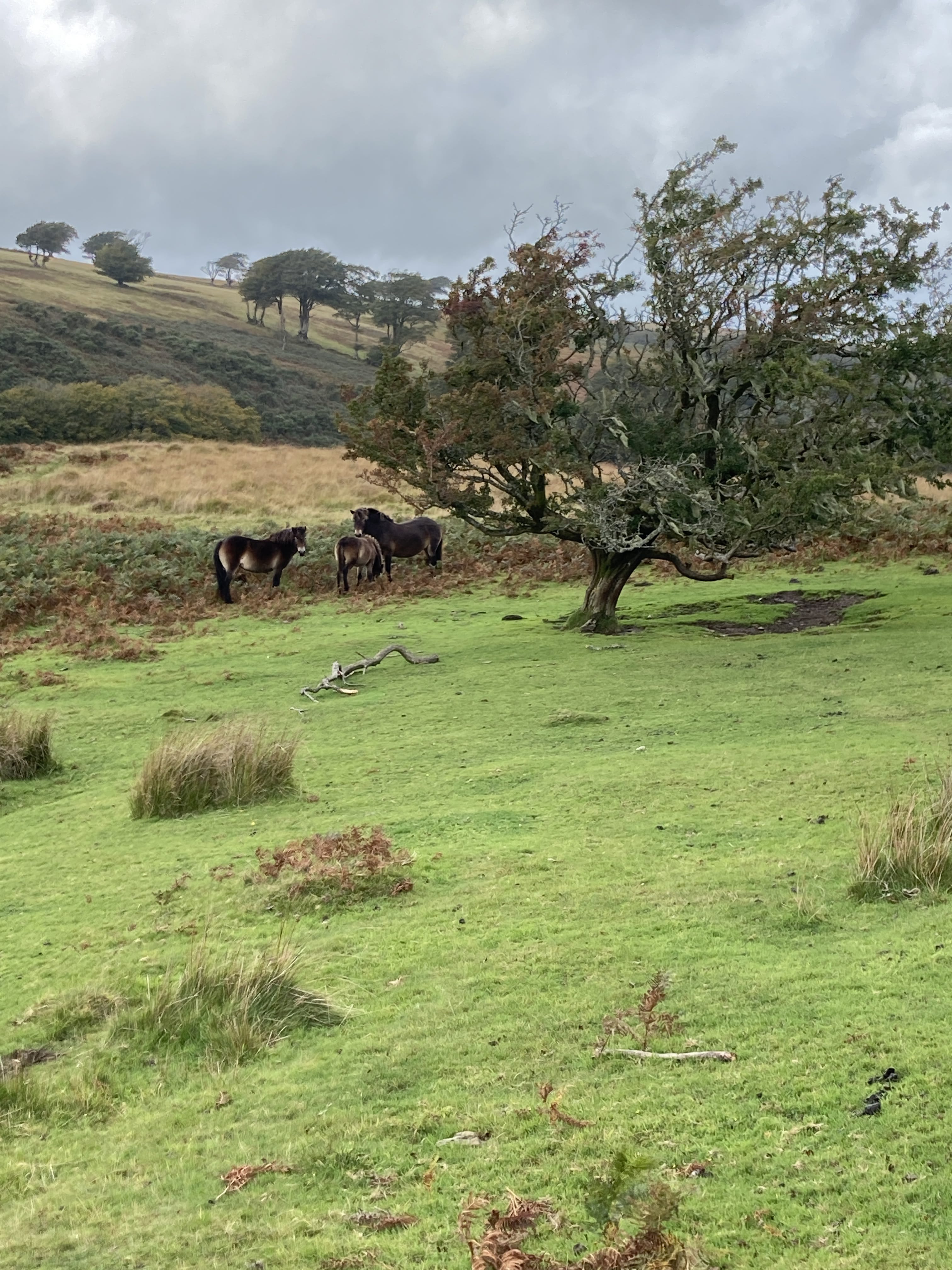
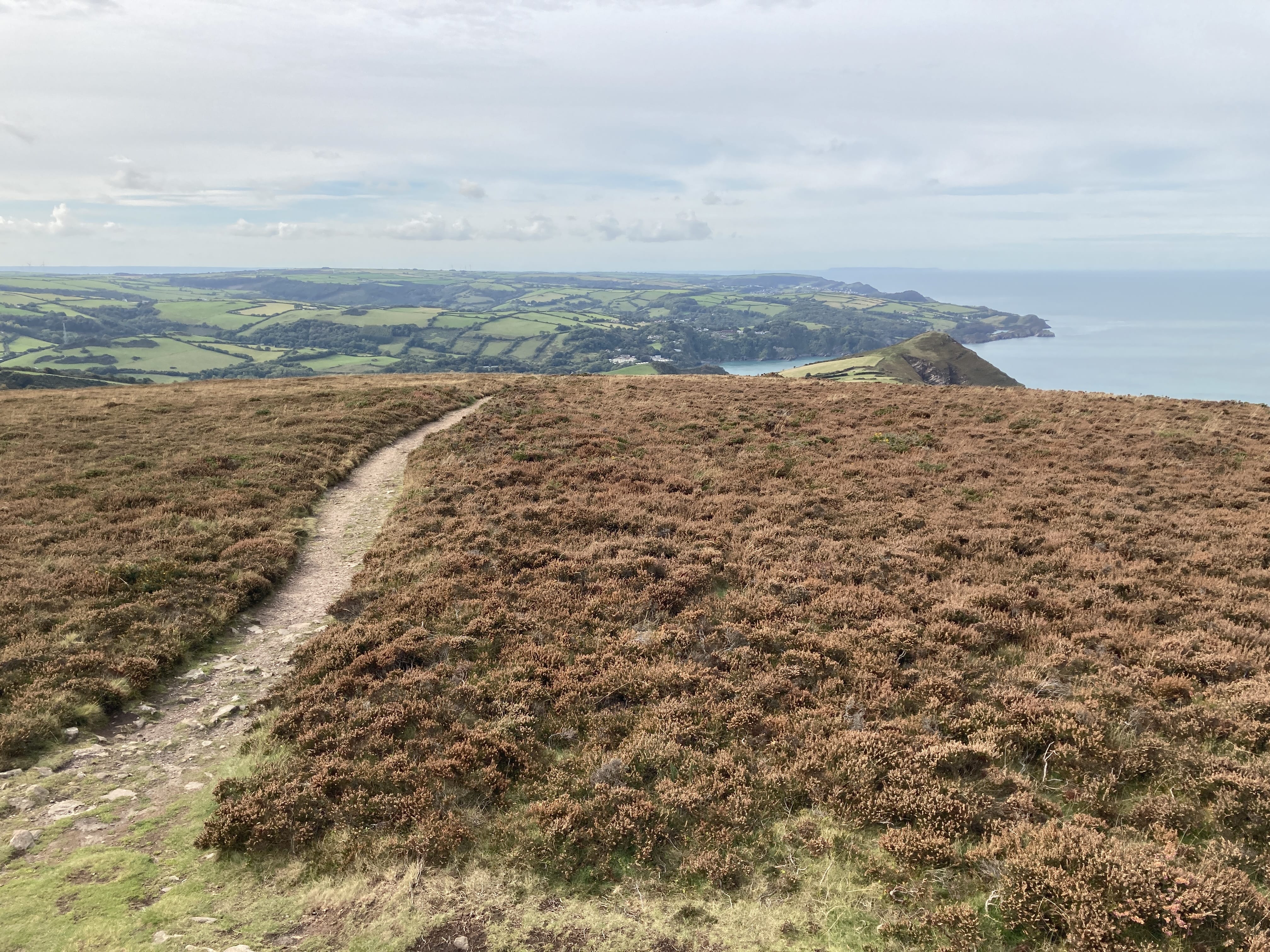
This is moorland walking with expansive views in every direction. It's the last day's walk on the Two-Moors trail, which connects both coasts and traverses portions of Dartmoor and Exmoor.
Ponies!
The path dips downward back into woodland closer to Lymouth. On offer are rest benches and sweet sustenance.
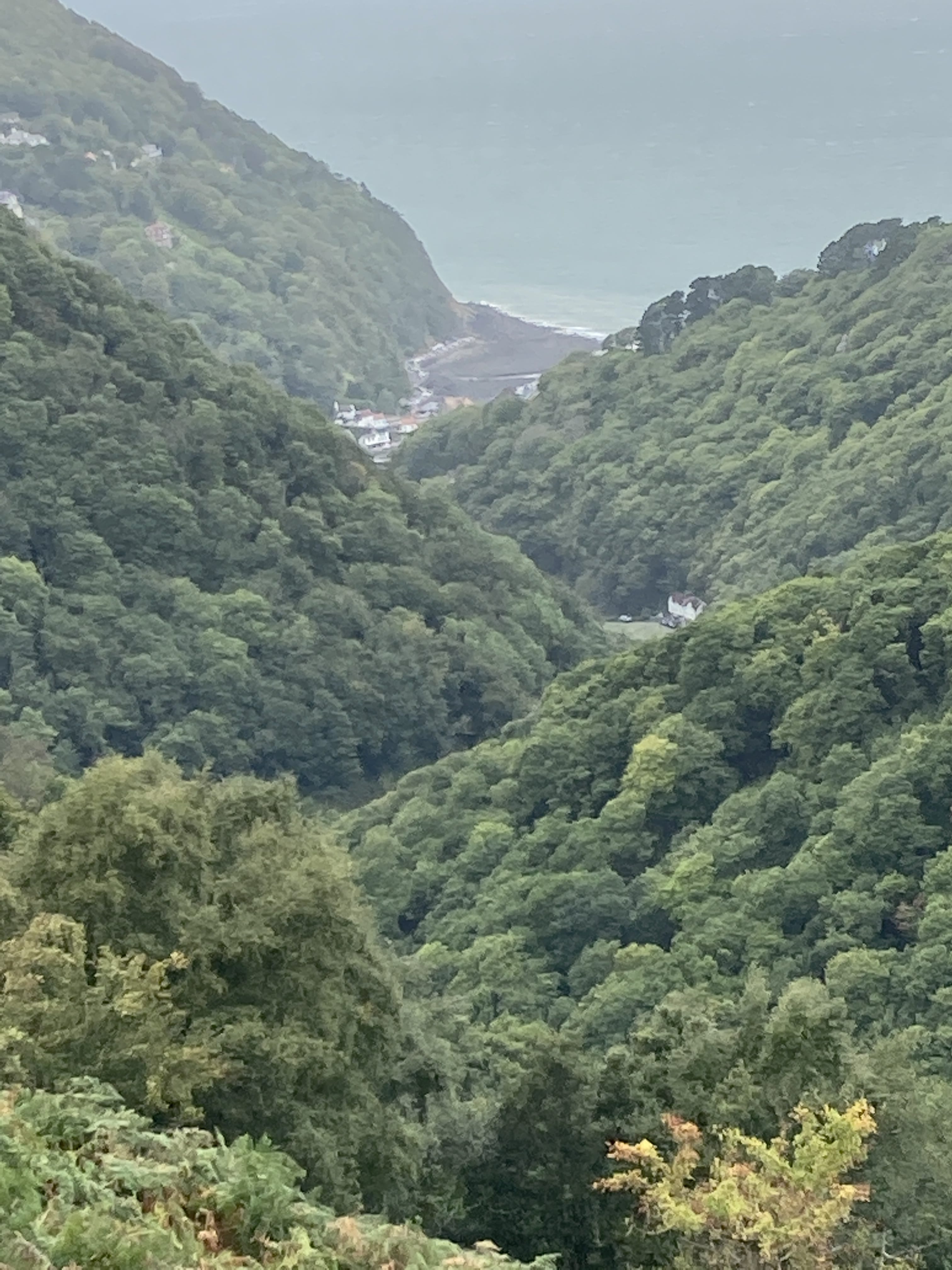
A dramatic approach to Lynmouth -- I think I can see the window of my hotel room!
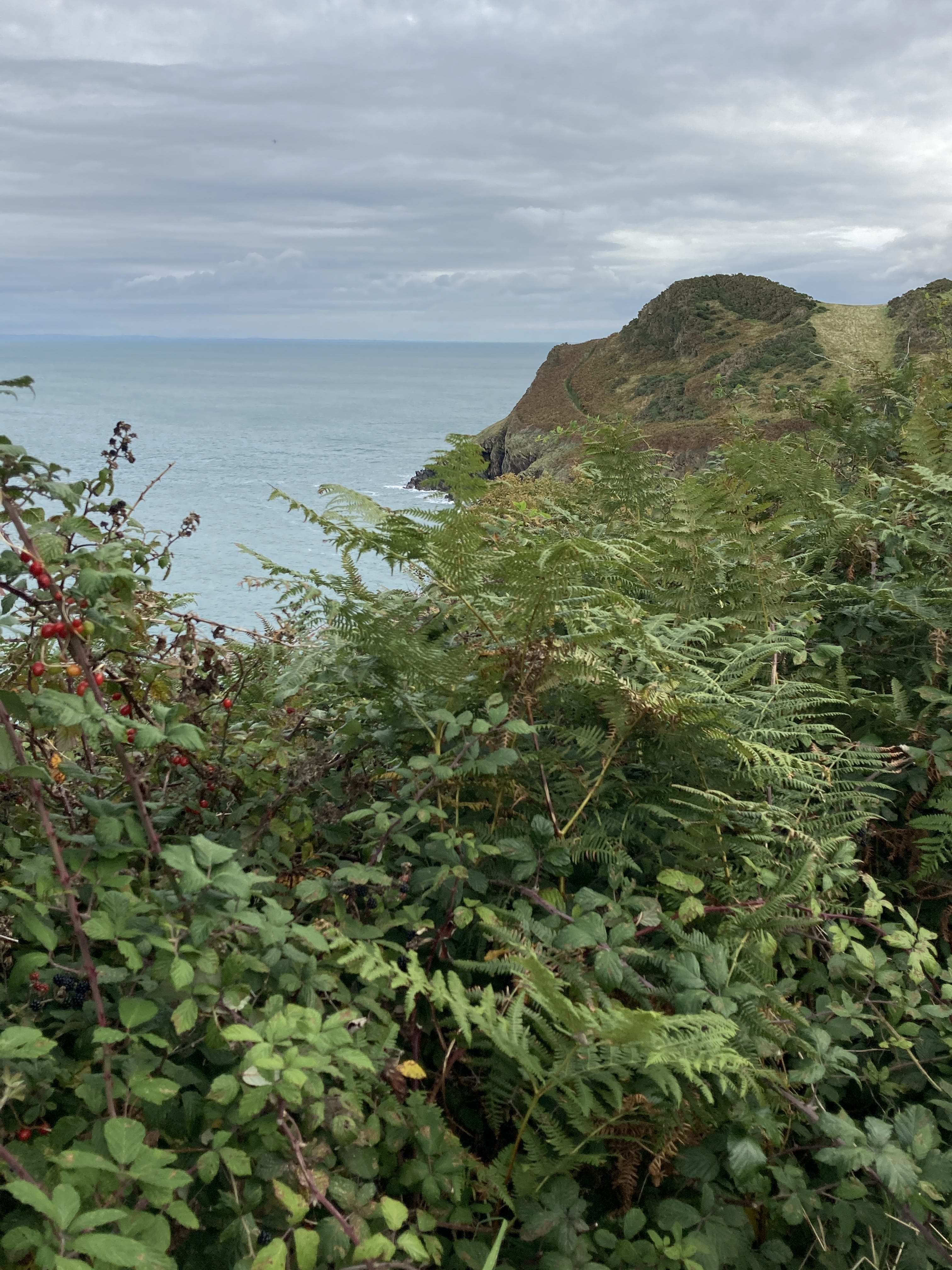
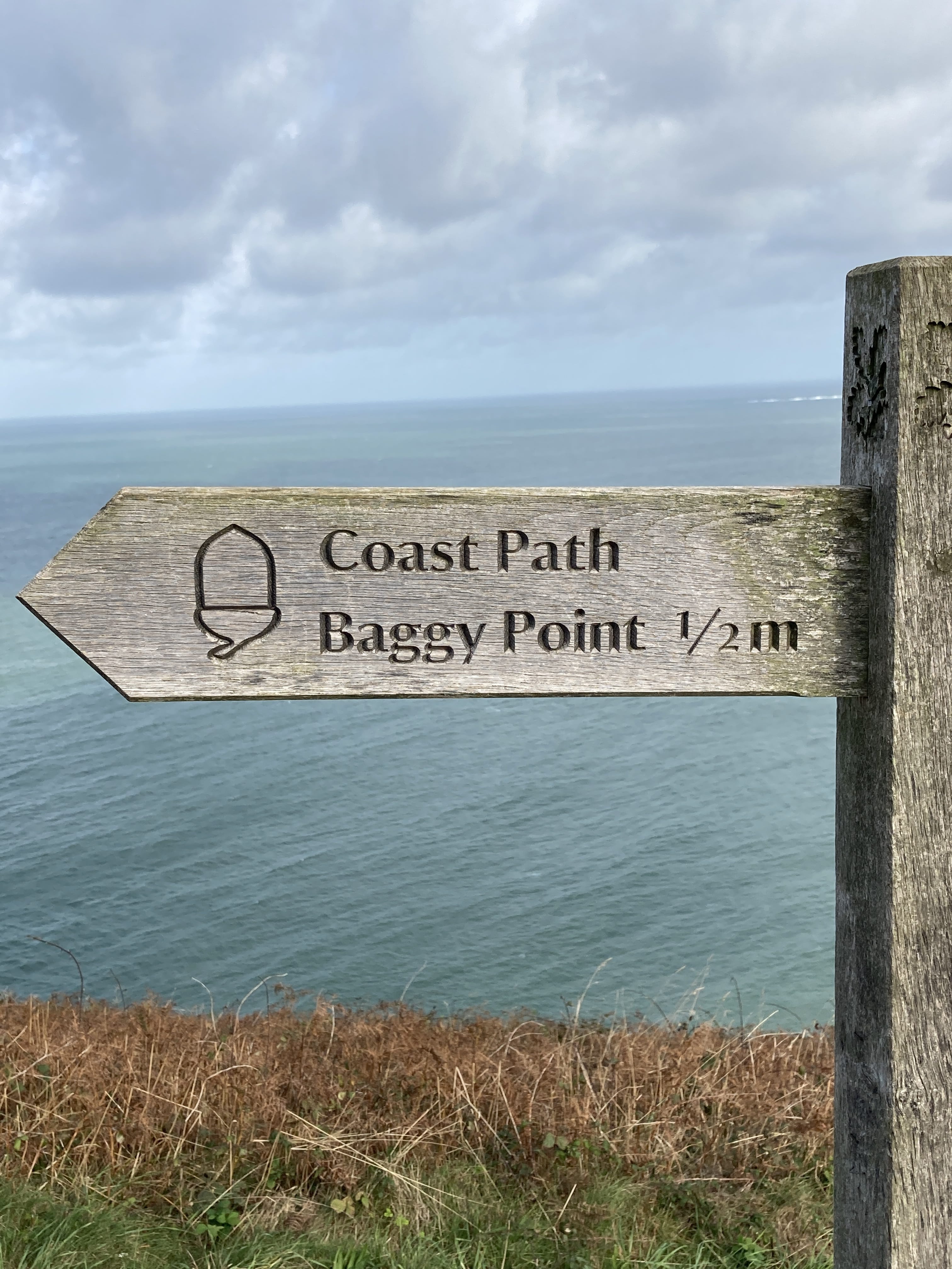
The Southwest Coast Trail between Lymouth and Barnstable.
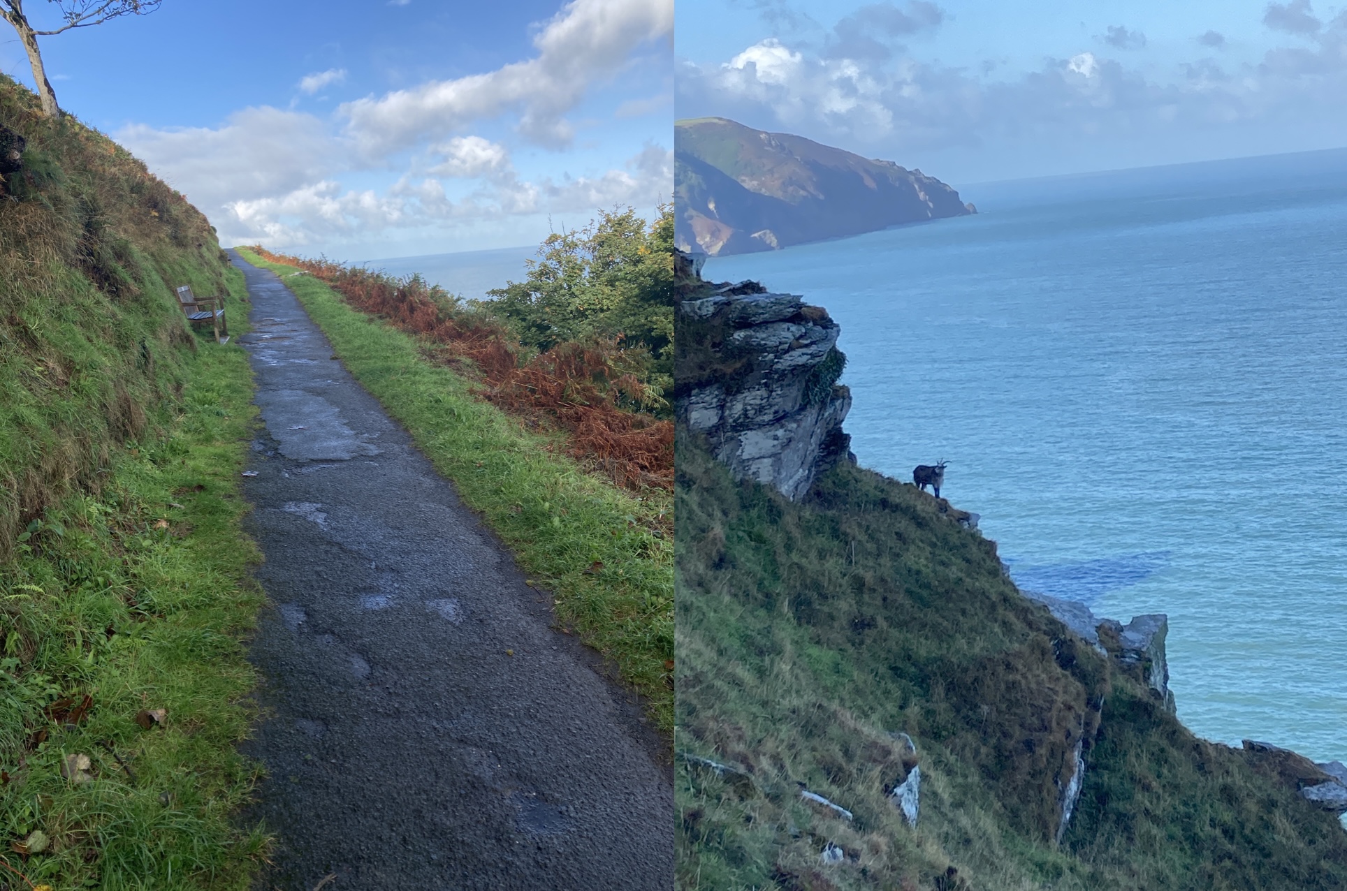
Lynmouth to Heddons Mouth
Ah, back on the coast trail, with a few goats alongside.
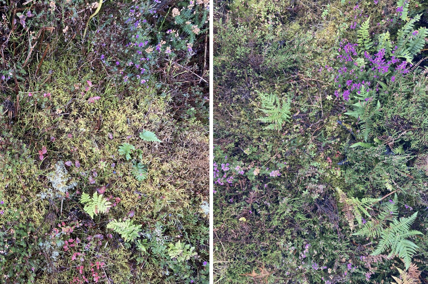
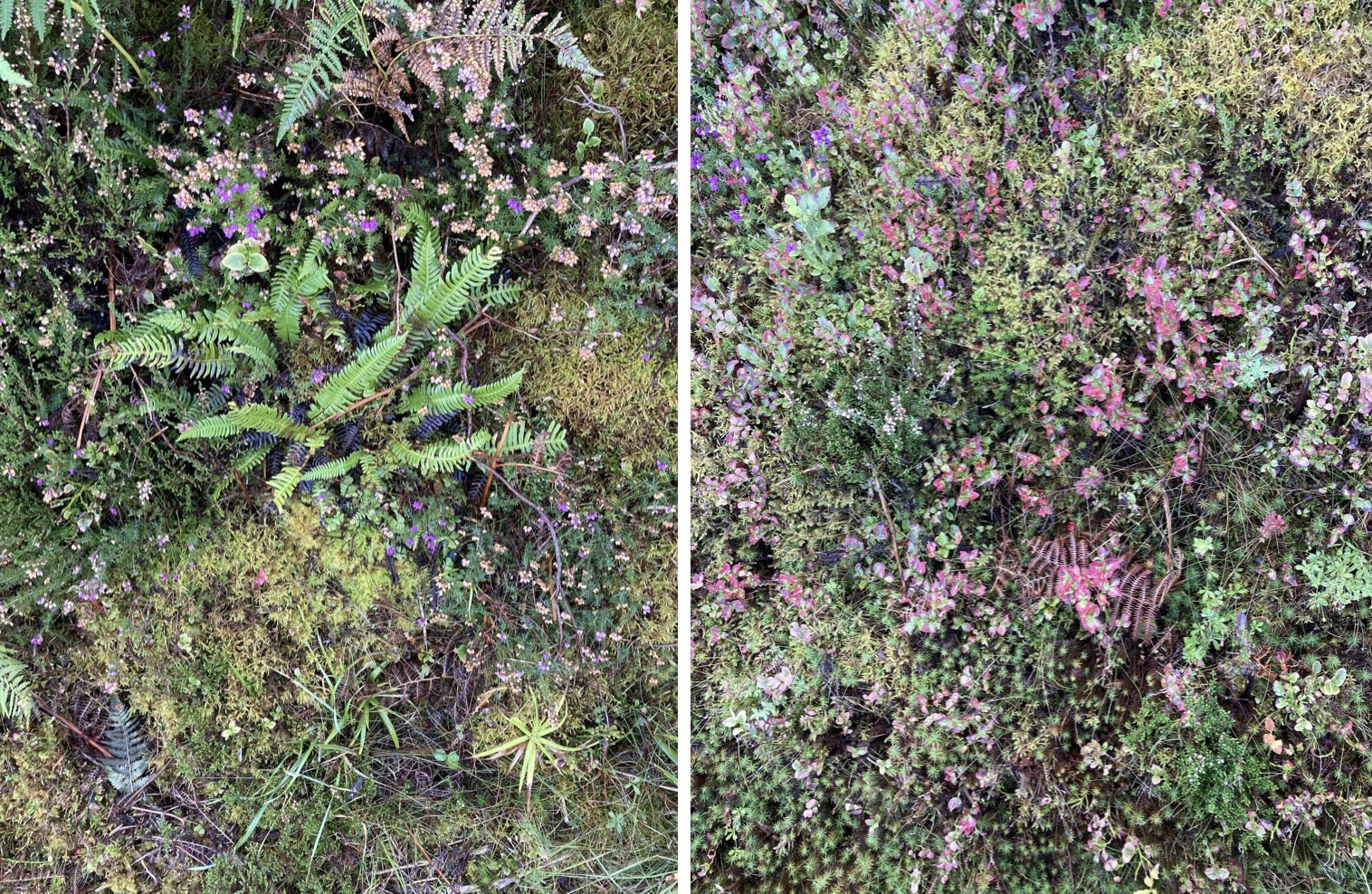
The left bank of this trail section presented beautiful expanses of small flowers.
Random goofiness:
Well, the last is actually a great idea!
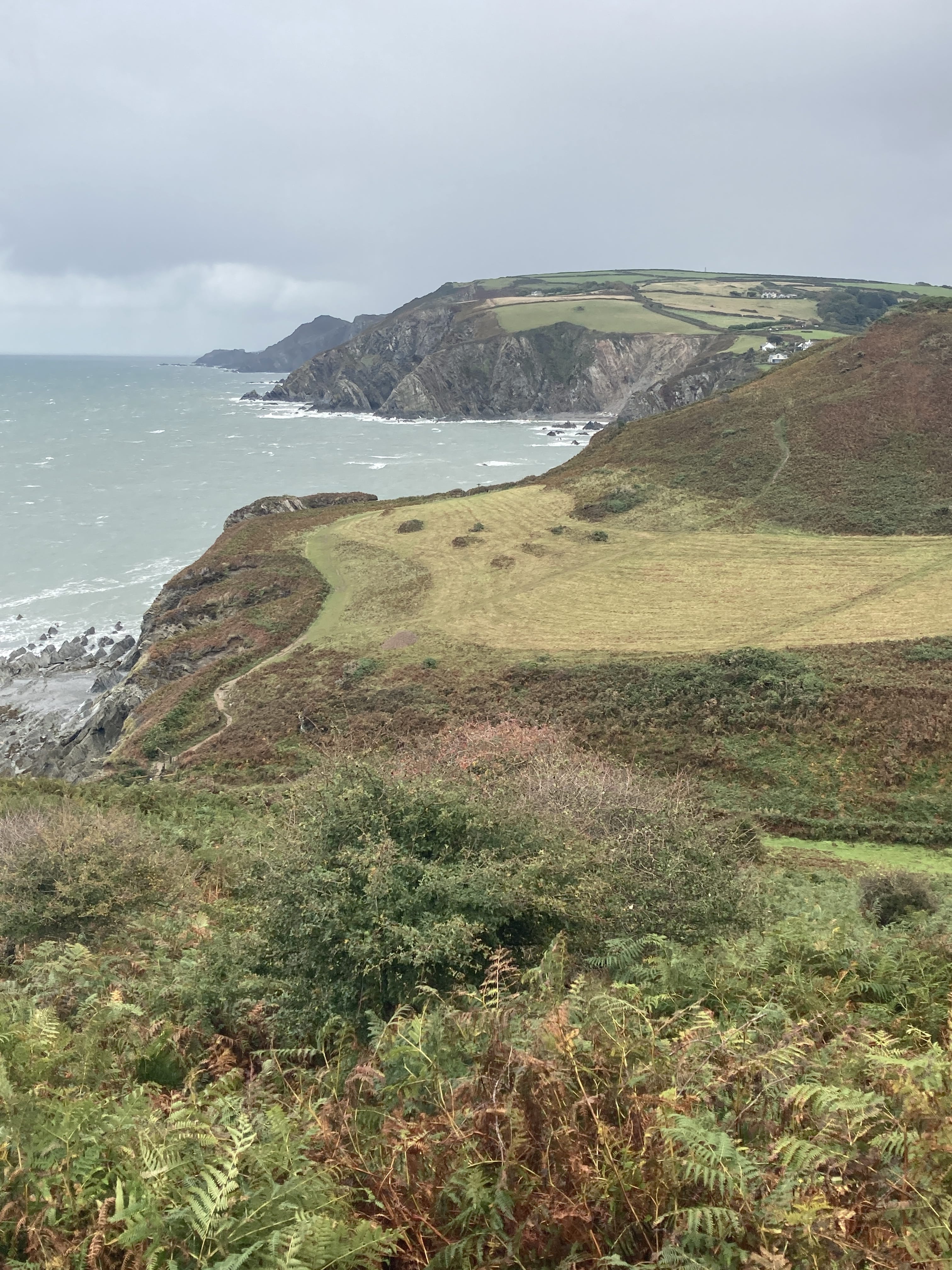
Heddons Mouth to Combe Martin
I walked down the trail opposite yesterday; now it's uphill to start.
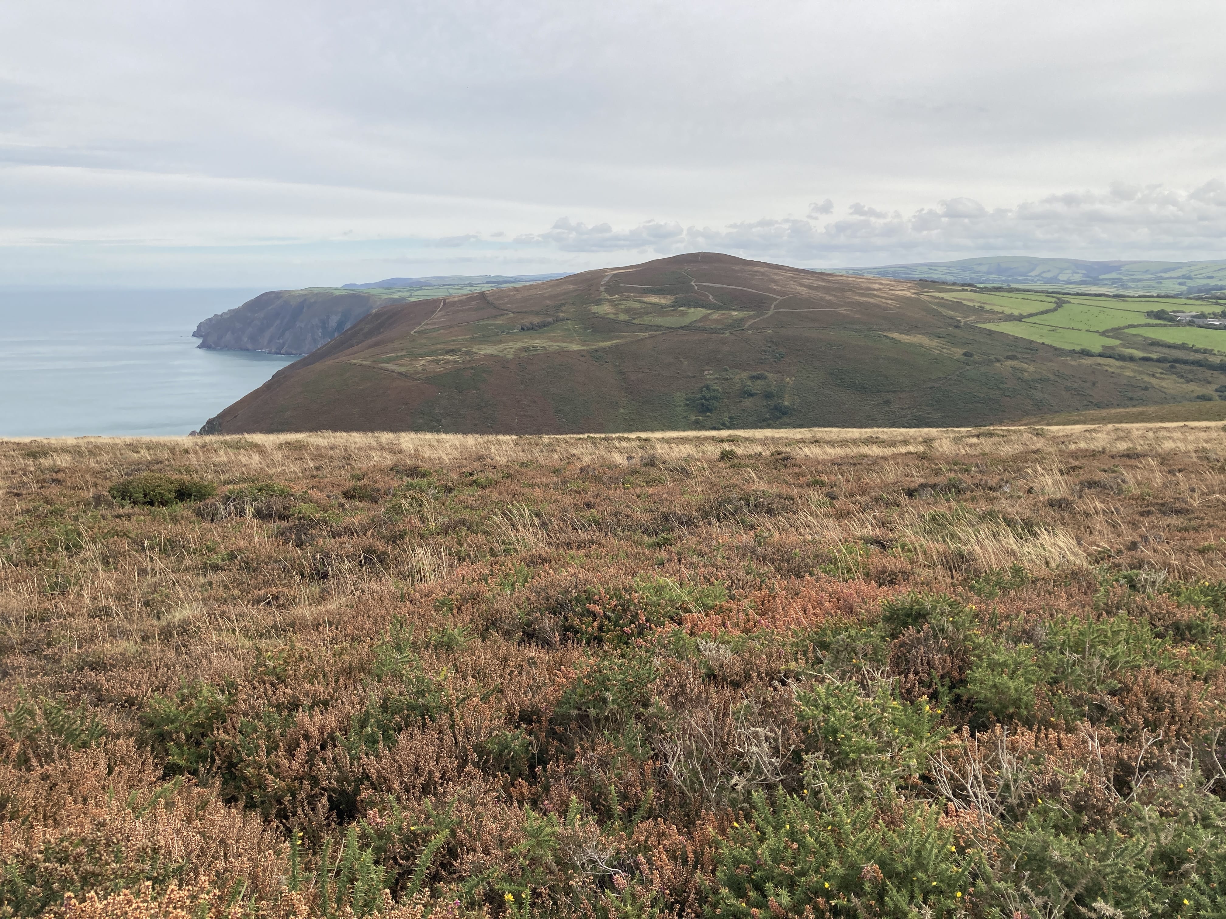
Hmm, my destination today is visible yonder.
It's a very calm and quiet day. The walking is easy and very enjoyable.
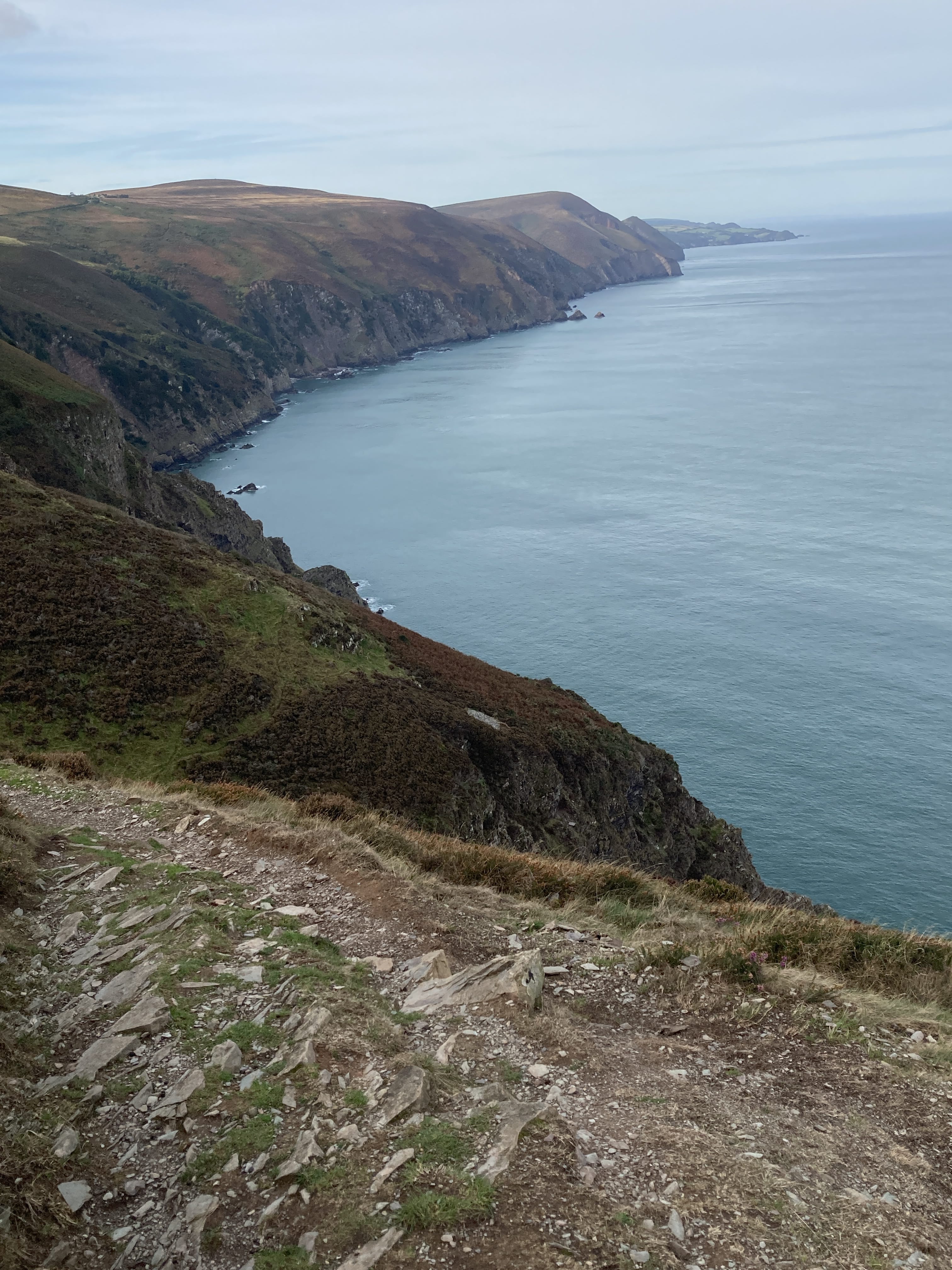
After walking for a couple of miles, looking back, I can see Heddon's Mouth. One can see very far in such clear air.
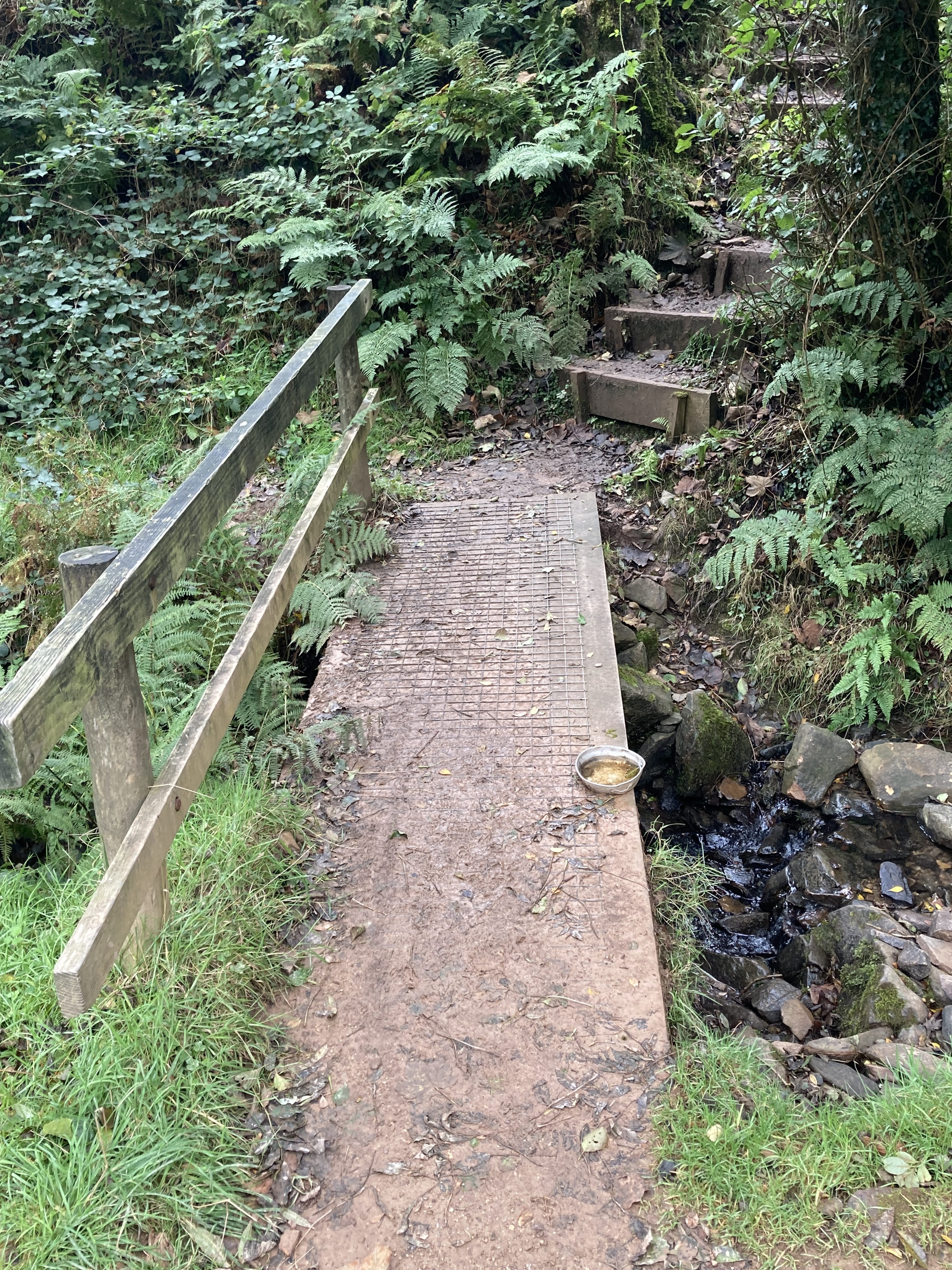
Stairs for humans and a water bowl for doggos.
Now this is the way to approach town..
And getting closer. Combe Martin just there. Well, about 2 miles from here.
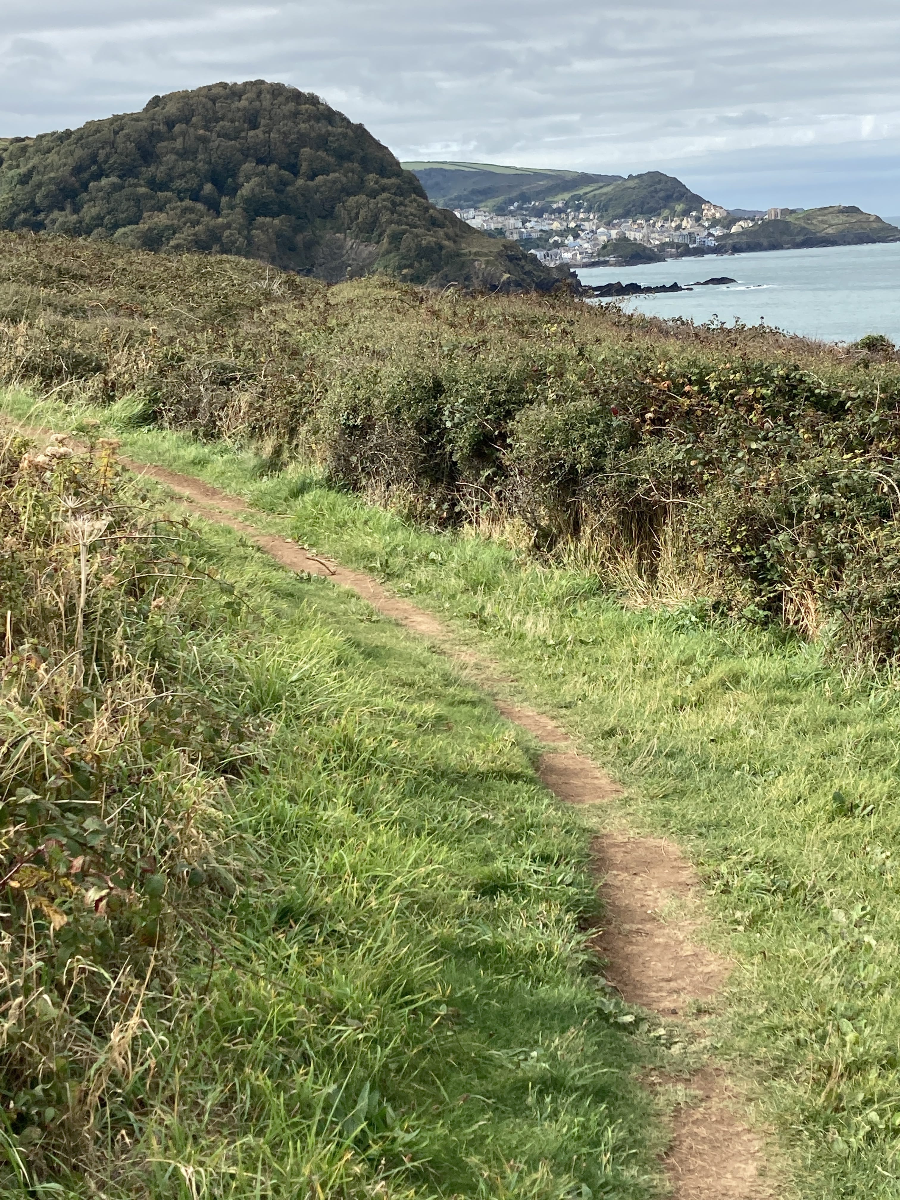
Combe Martin to Ilfracombe
Leaving Combe Martin behind.
A nice easy walk to Ilfracombe.
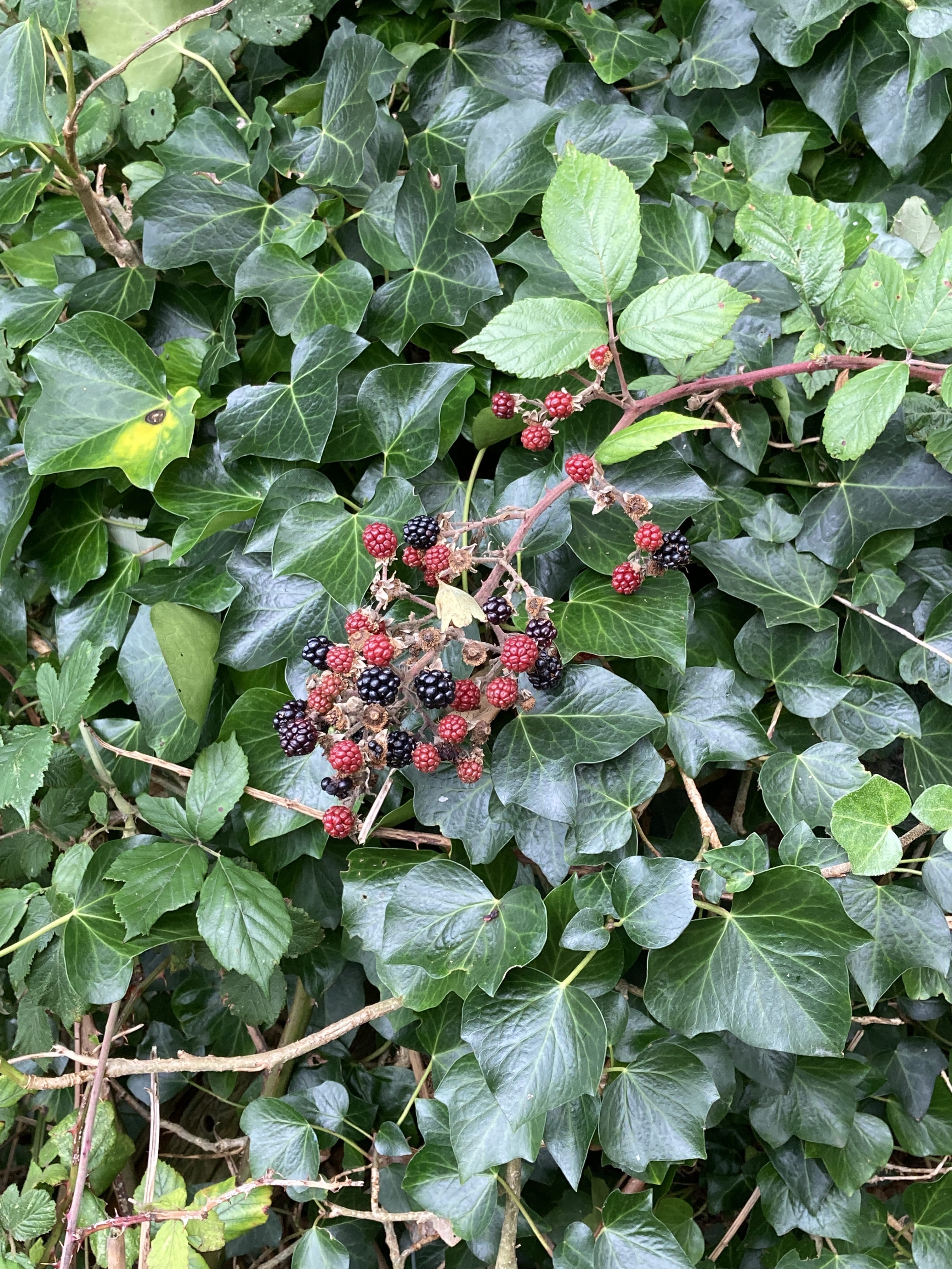
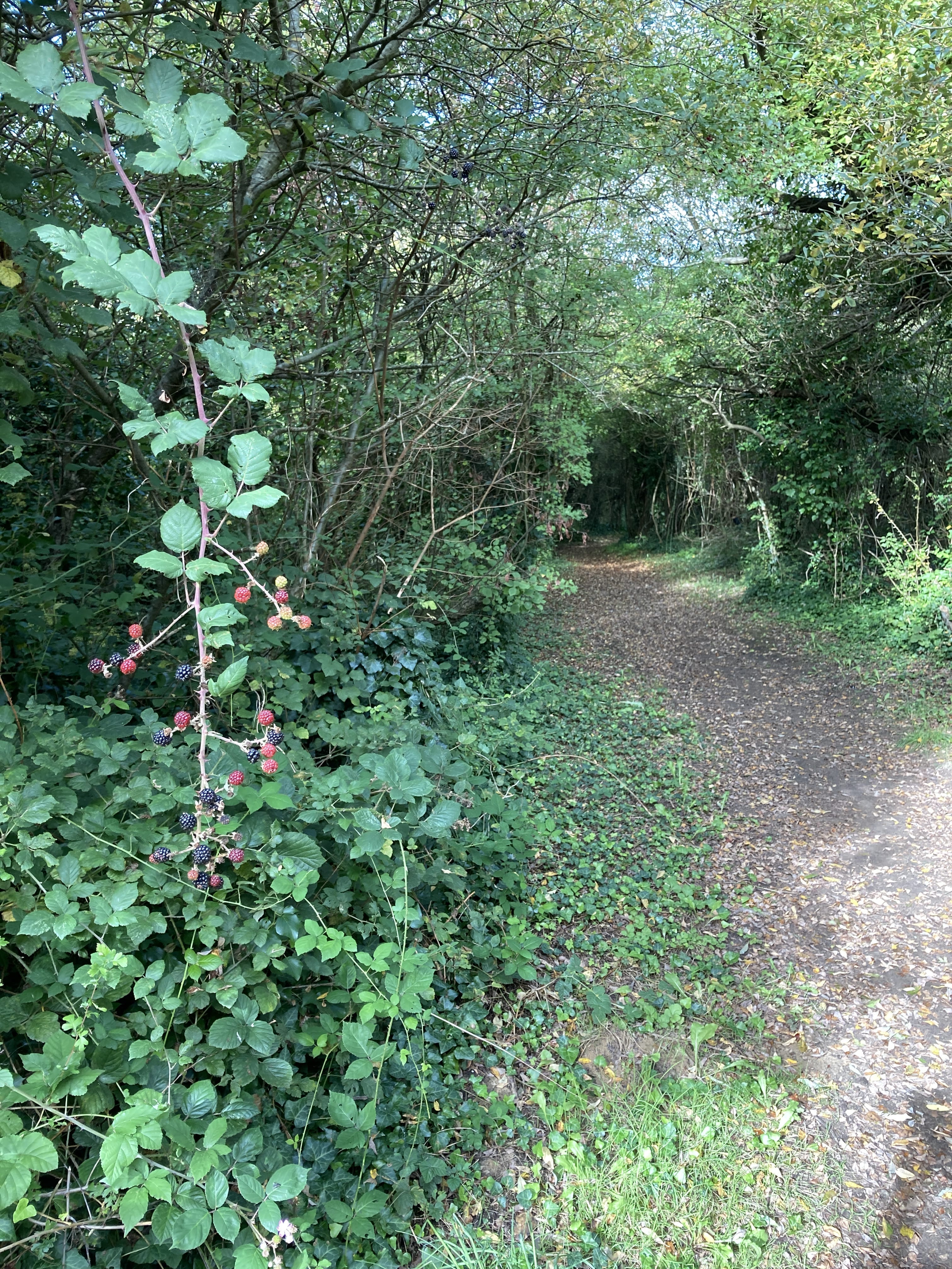
I'm looking back at the trail section I've walked with some blackberries adjacent.!
I must admit It's easy to eat many as one walks along. They are so numerous on the trails.
Ilfracombe ahead.
Folks here pronounce the first vowel in "combe" as "— OO."
The Liberal Club seems to be an ordinary, unattractive drinking hole — at least as I was able to discern by peering through the front window.

Maybe if I became a member...
Ilfracombe to Woolacombe
Rain and very windy today!
Looking back to Ilfracombe after a mile or so on the trail.
Lee is a lovely small village adjacent to Lee Bay.
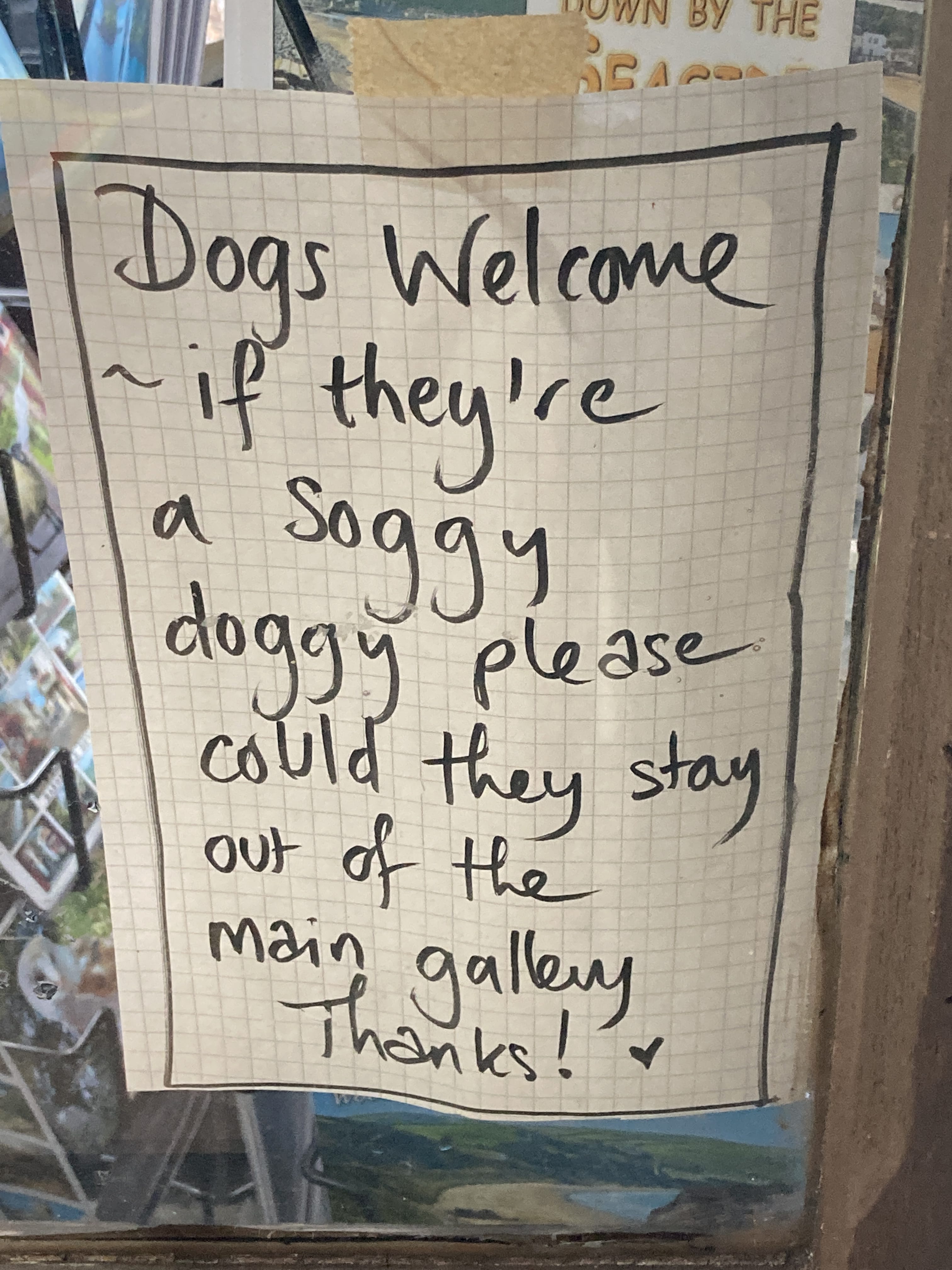
I had some tea and a muffin at a small cafe (with a picture gallery) in the village, which has this very polite message for dog owners:
Leaving Lee village for Woolacombe. I love the tree trim.
Woolacombe to Croyde
Heading out, I opted to walk the entire length of the beach -- Woolacombe Sands. It was about two miles.
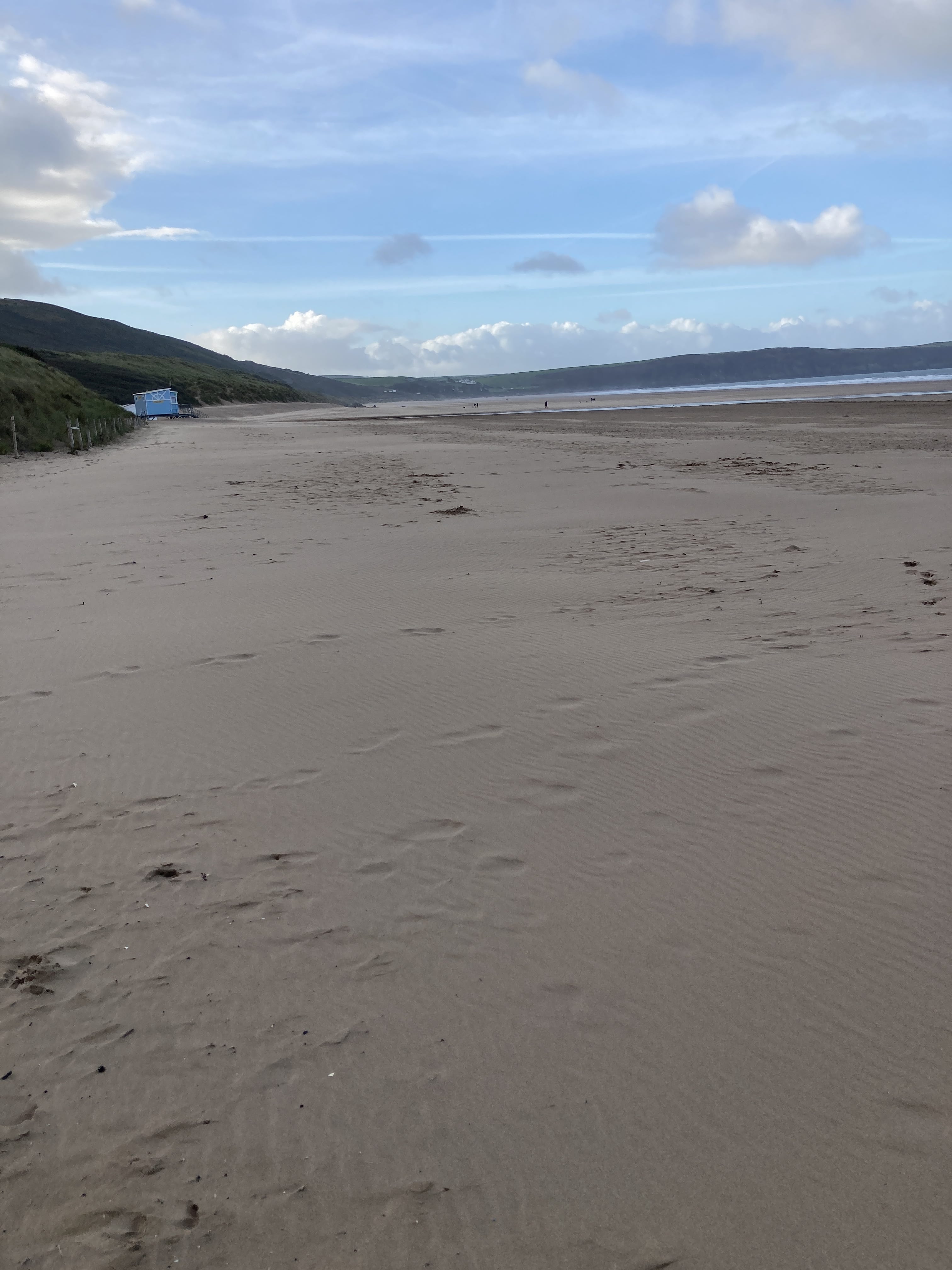
On the beach, looking back.
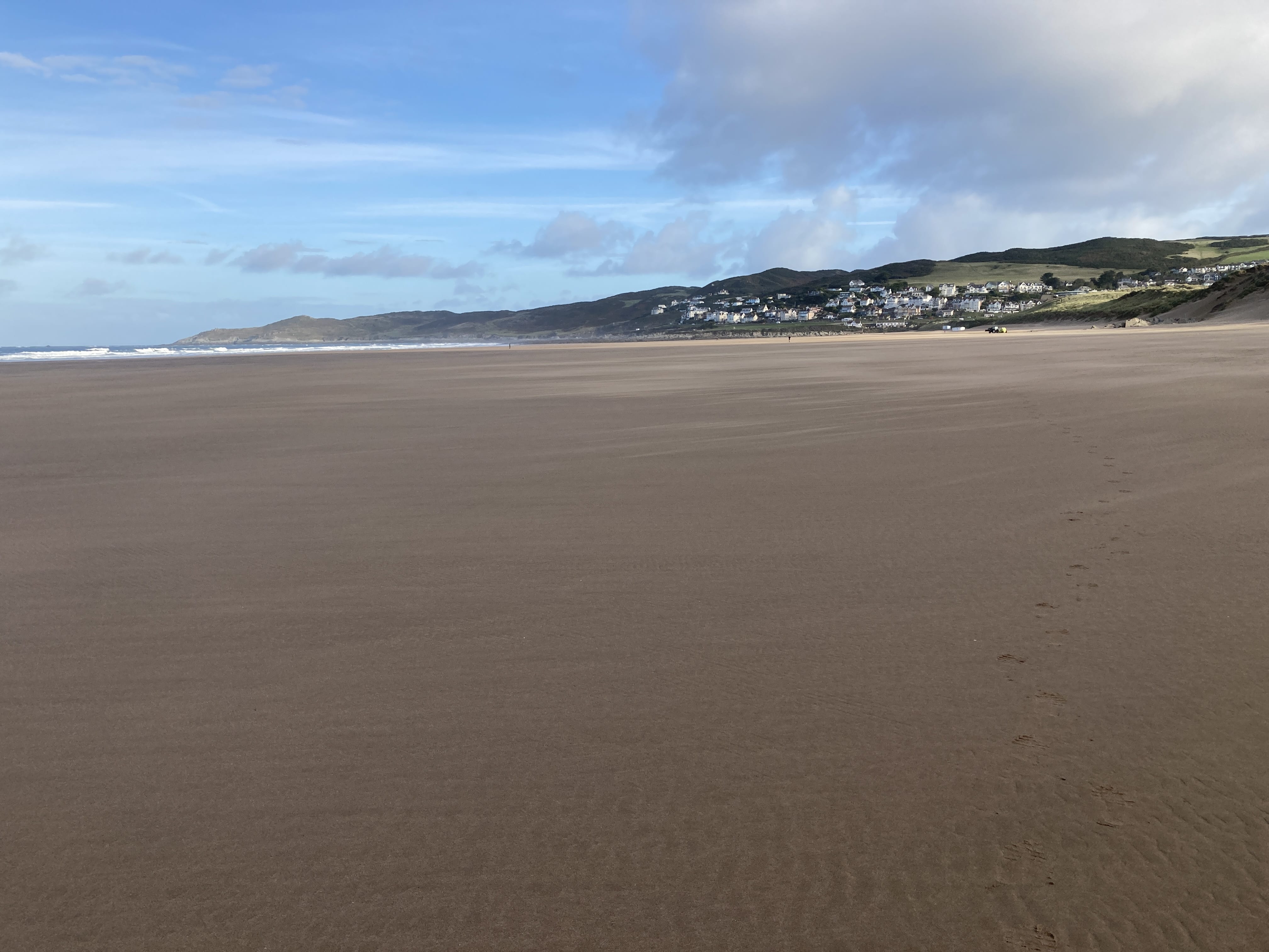
Now I'm back on the headland.
Quite a lot of people on the trial, headed to...
An easy downhill saunter to Croyde Beach.
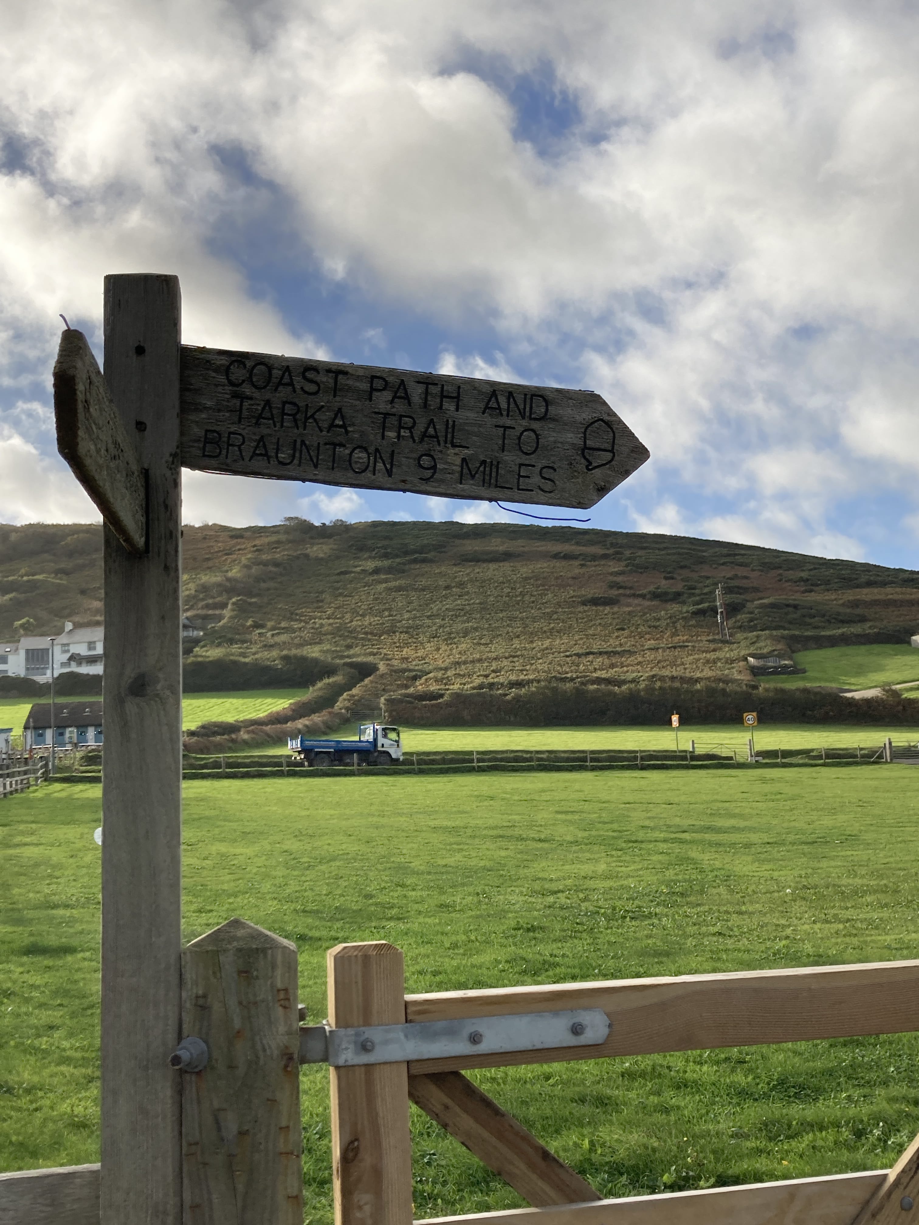
Croyde to Braunton
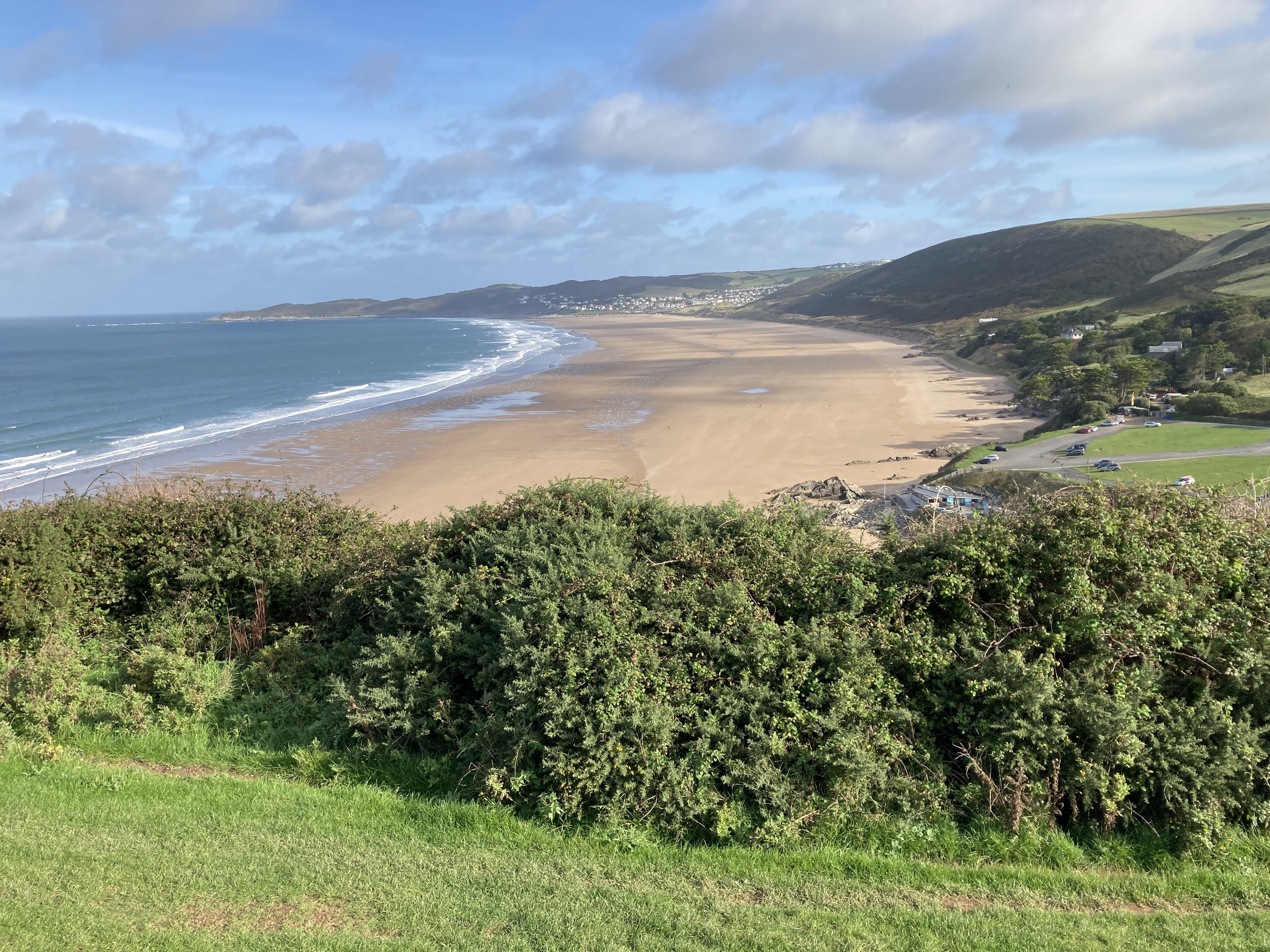
A long 9-mile walk today.
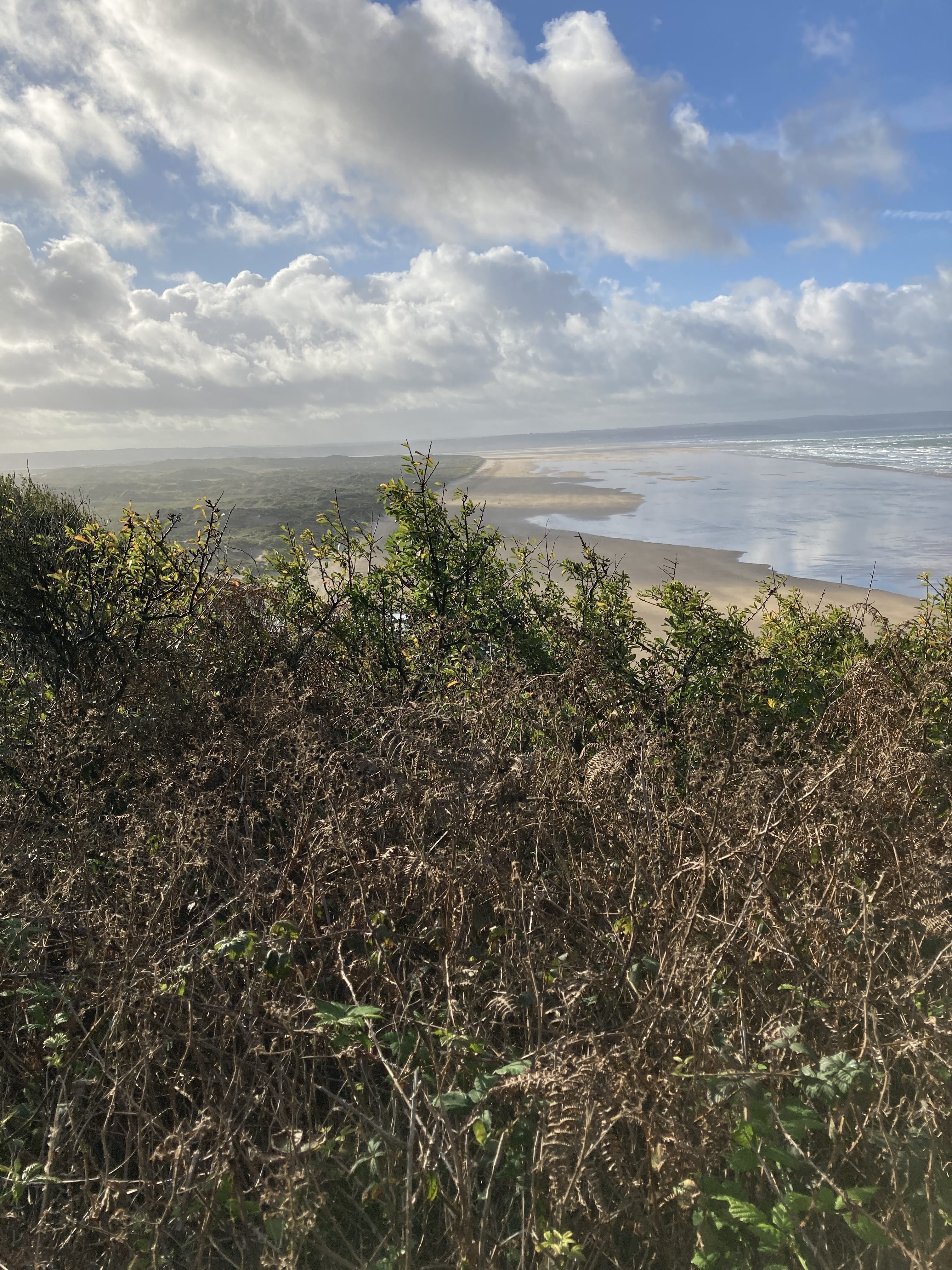
Saunton Sands is even longer. But I chose to walk east of the dunes as some of this area in a military exercise base.
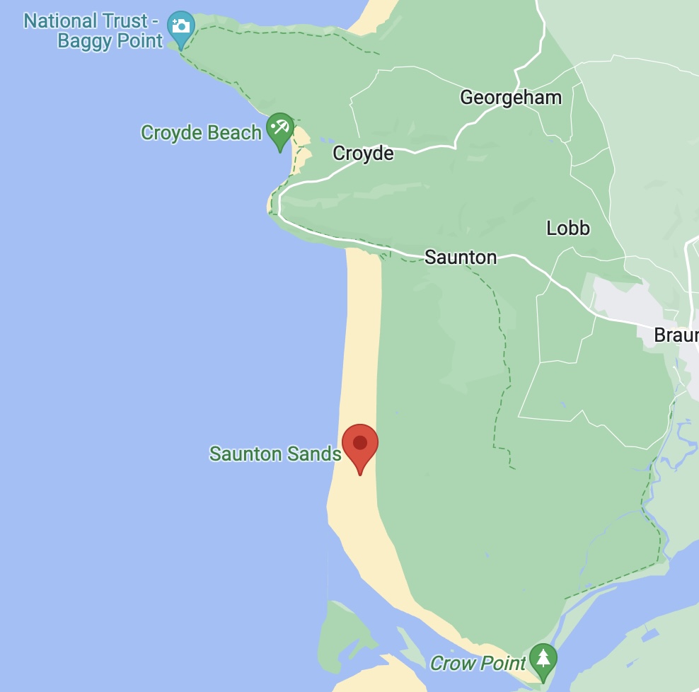
Sands on the right; the dunes on the left, looking south!
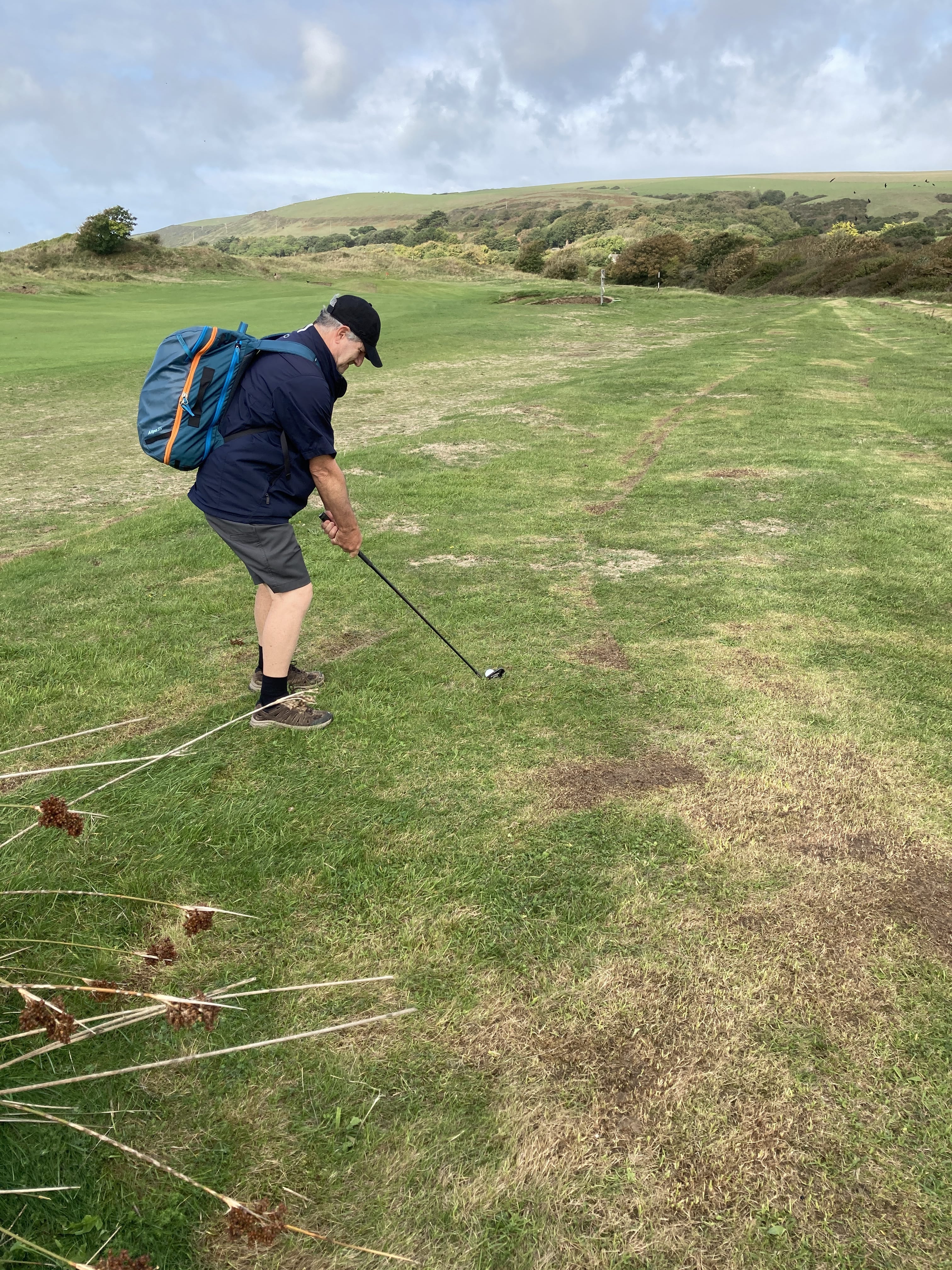
The path runs right through the Saunton golf course!
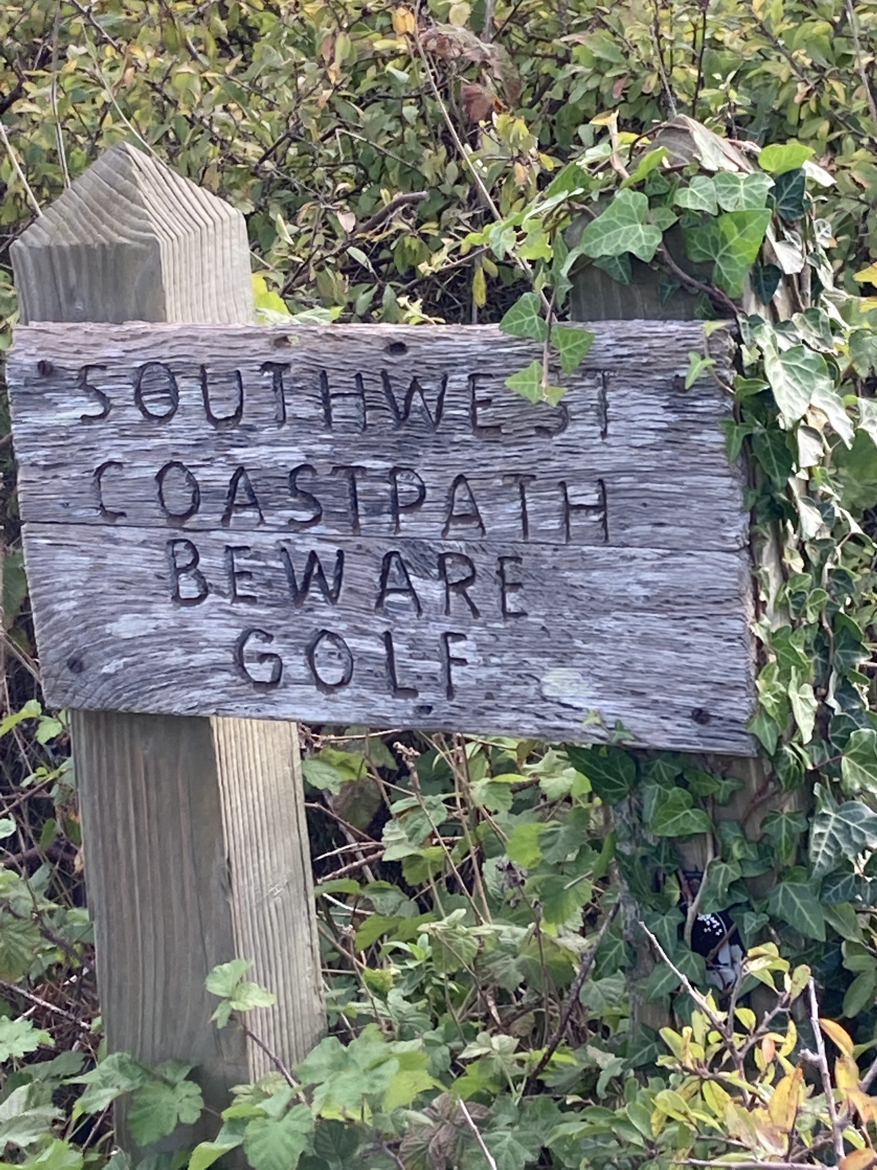
I got in a few holes -- nice course!
The long path, nice initially but then pretty bland into town.
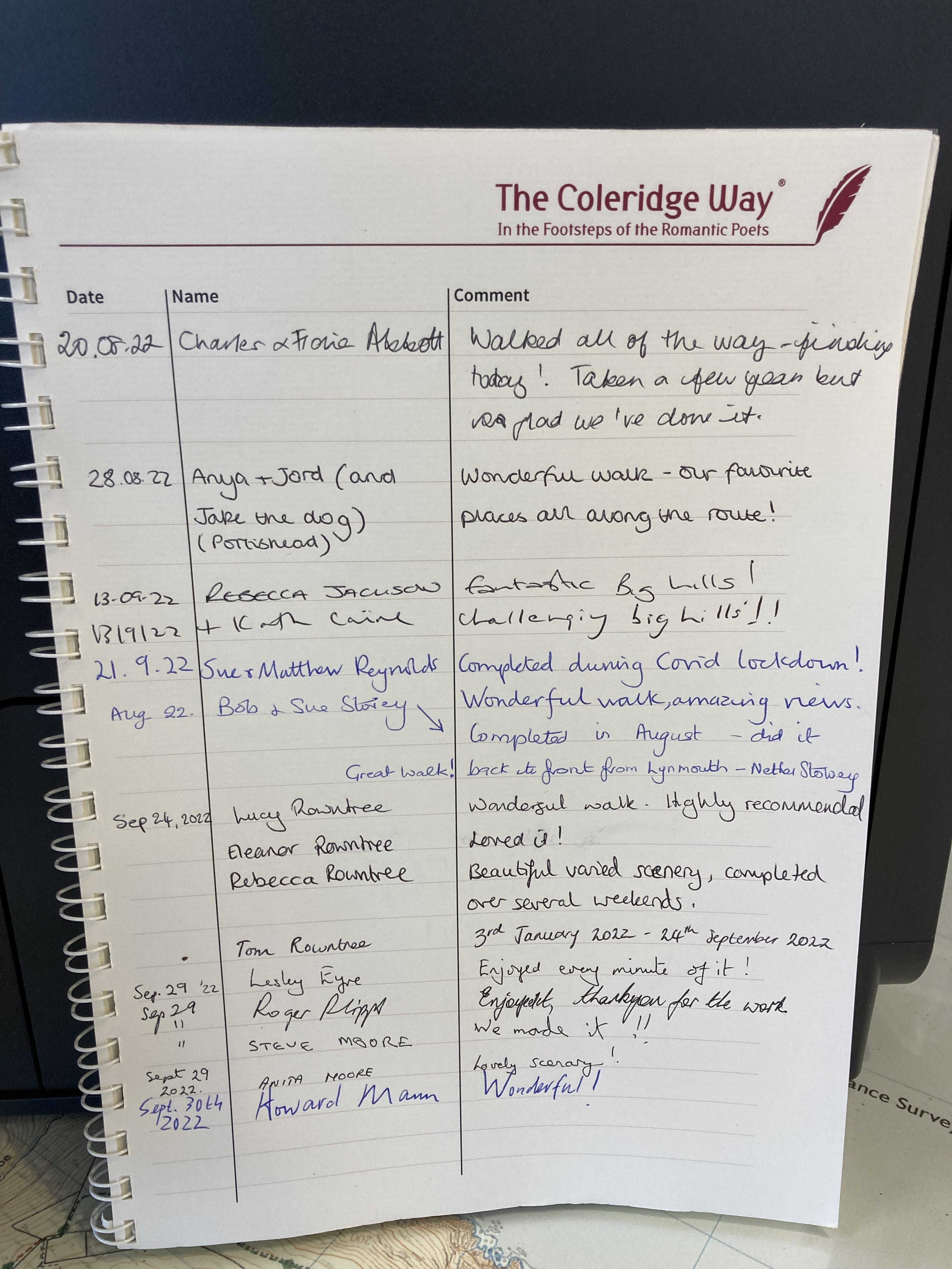
And this trip is over!